| Death Valley National Park (2009) |
 |
| Album of photos from a 3-day driving/hiking (photo-taking) trip to remote areas of Death Valley National Park and vicinity in California and Nevada (December 2009). |
|
|
|
|
| Day 1 - Eureka Sand Dunes |
|
 |
|
 |
|
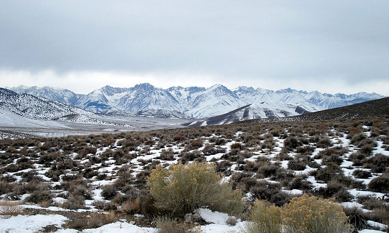
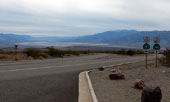
Sierra Nevada Mountains
from Death Valley Road |
|
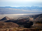
Last Chance Range, Eureka Valley and
Big Pine Road (Death Valley Road) |
|
|
 |
|
 |
|
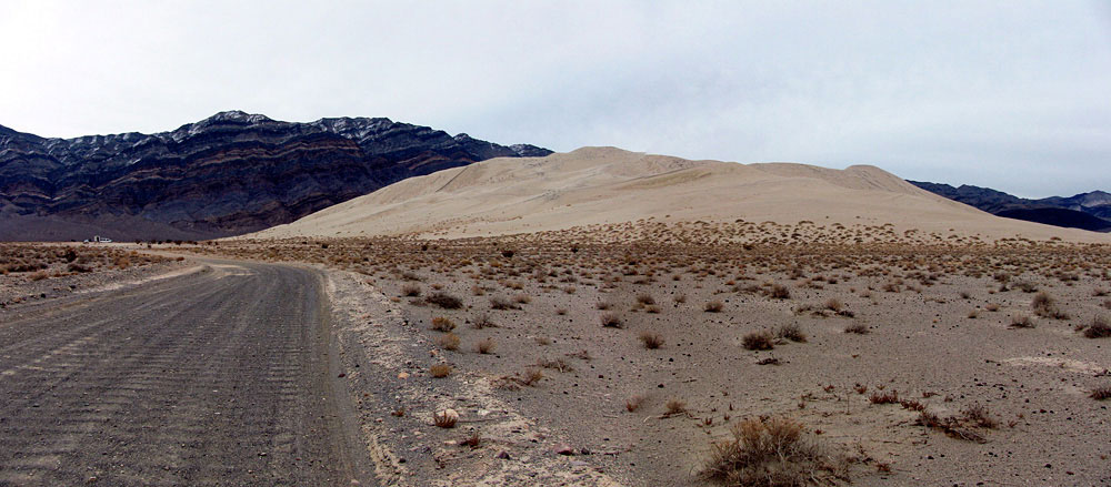
| Last Chance Range and Eureka Sand Dunes |
|
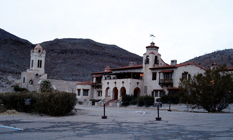
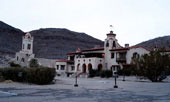
Scotty's Castle |
|
|
|
|
| Day 2 - Salt Creek & Racetrack |
|
 |
|
 |
|
 |
|
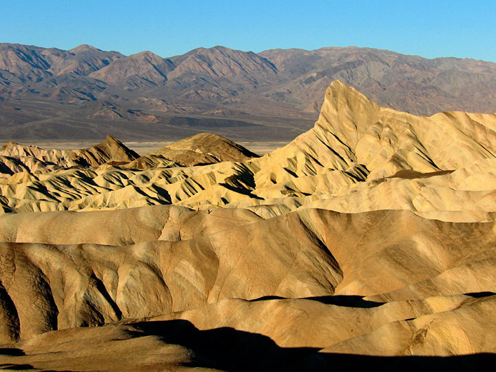
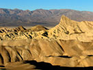
| Zabriskie Point |
|
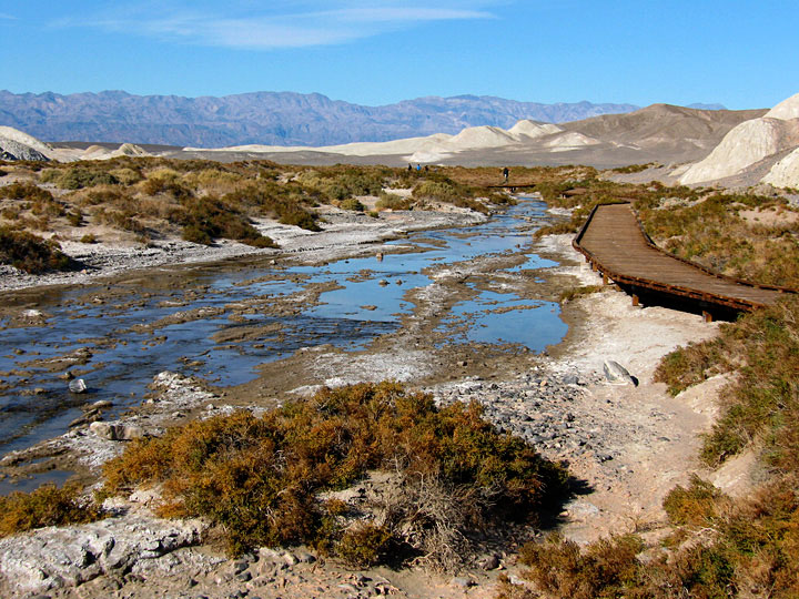
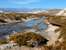
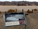
Salt Creek (Salt
Creek Interpretive Trail) |
|
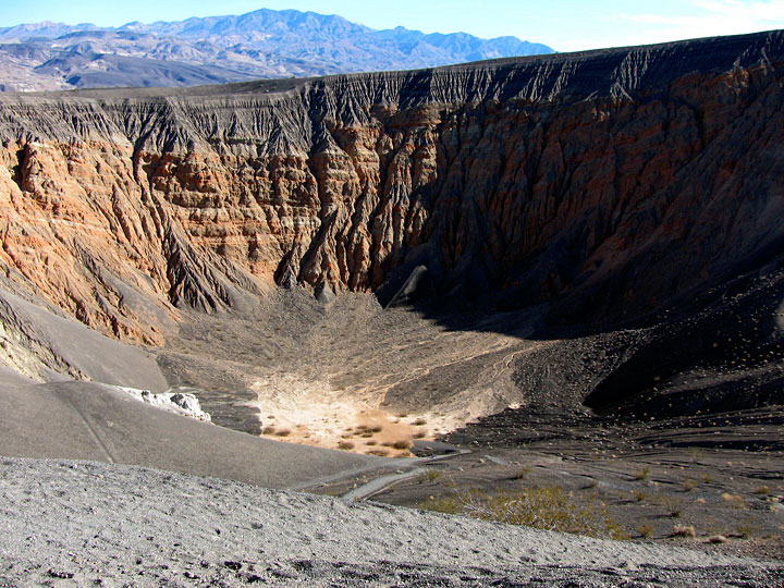
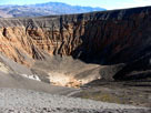
Ubehebe Crater |
|
|
 |
|
 |
|
 |
|
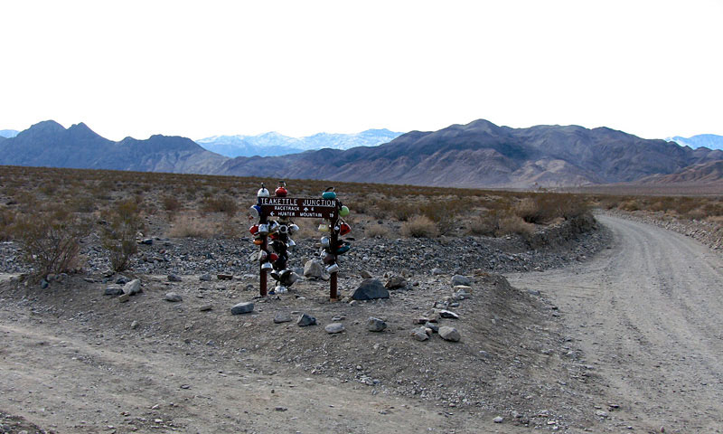
Teakettle Junction -
Hidden Valley Road and
Racetrack Valley Road |
|
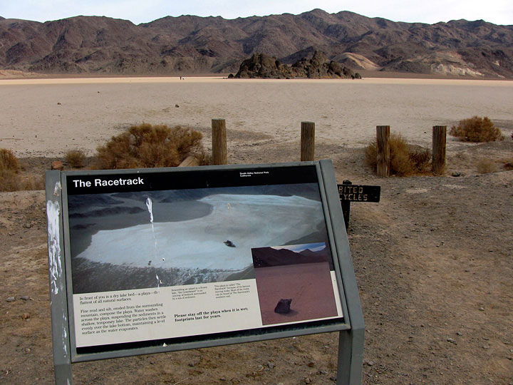
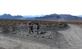
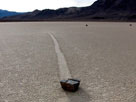
The Racetrack
(The Grandstand
and Racetrack Playa) |
|
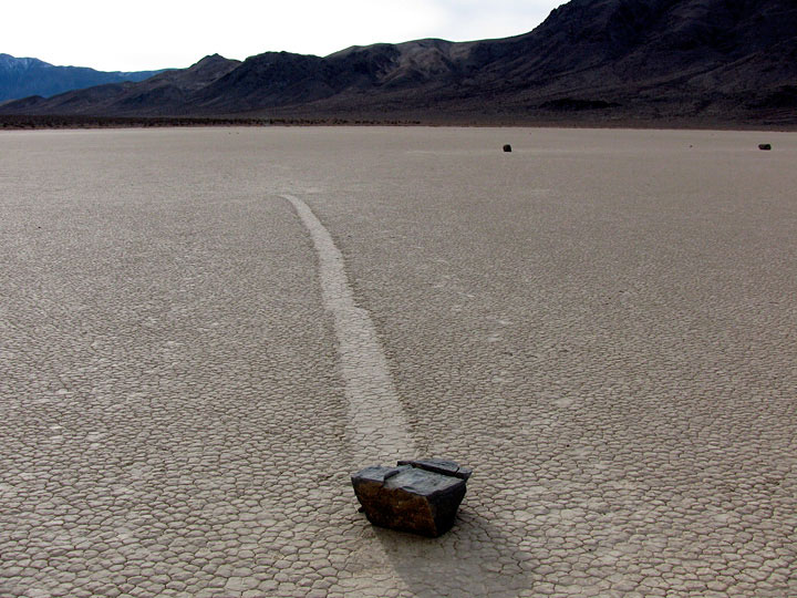
Moving Rocks |
|
|
|
|
| Day 3 - Sand Dunes & Charcoal Kilns |
|
 |
|
 |
|
 |
|
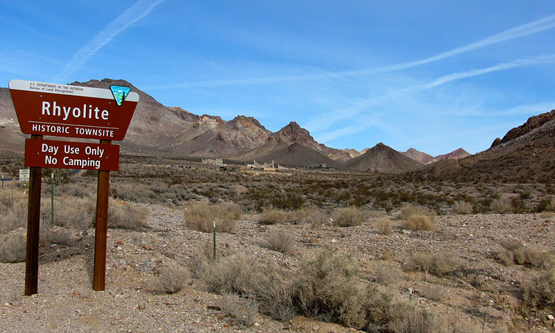
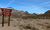
| Rhyolite |
|
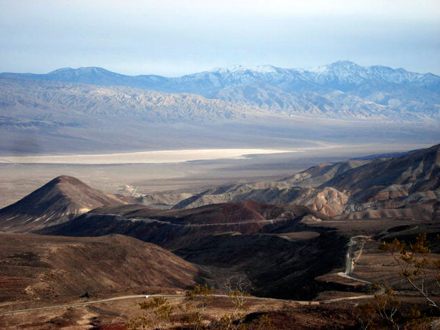
Death Valley and Panamint
Range from Hells Gate |
|
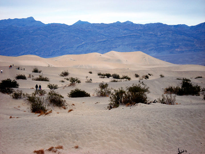
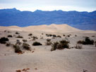
Grapevine Mountains
and Sand Dunes |
|
|
 |
|
 |
|
 |
|
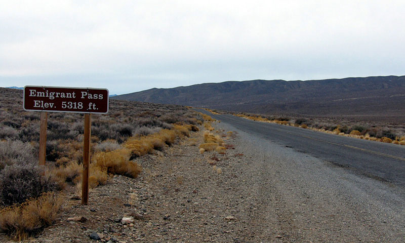
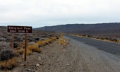
Emigrant Pass and
Emigrant Canyon Road |
|
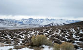
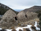
Sierra Nevada Mountains
and Charcoal Kilns |
|
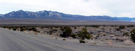
Panamint Valley and
Highway 190 from
Father Crowley Vista |
|
|
|
|
| See also |
|
|
|
|