| イースタン・シエラの公園と保護区 |
 |
| (Parks & Reserves of Eastern Sierra) |
|
|
|
|
|
|
|
|
|
 |
|
 |
|
 |
|
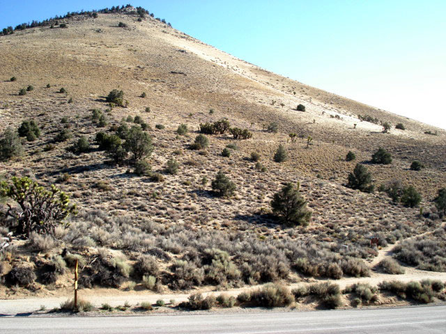
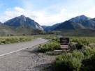
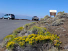
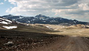
Sonora Bridge
Campground entrance |
|
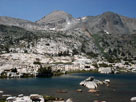
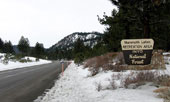
Twin Lakes
Recreation Area |
|
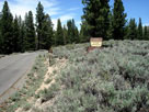
Crags Campground
entrance |
|
|
|
|
|
|
|
|
|
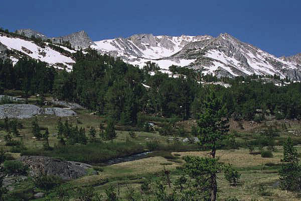
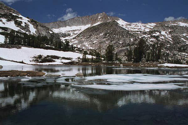
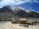
| Hoover Wilderness |
|
 |
|
 |
|
 |
|
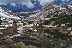
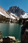
Crown Point
and Barney Lake |
|
Crown Point
and Peeler Lake |
|
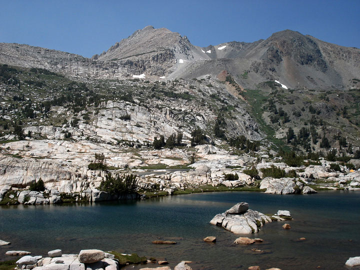
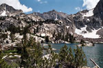
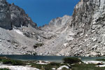
Kettle Peak and Snow Lake
from Rock Island Pass |
|
|
 |
|
 |
|
 |
|
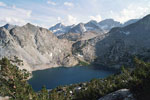
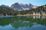
North Peak and
Greenstone Lake |
|
Noth Peak and
Steelhead Lake |
|
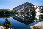
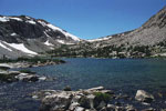
Shepherd Crest
and Cascade Lake |
|
|
|
|
|
|
|
|
|
|
|
|
|
|
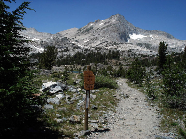
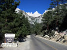
| Inyo National Forest |
|
 |
|
 |
|
 |
|
Tioga Peak and Tioga
Pass Rd from Tioga Pass |
|
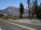
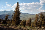
CA State Route 203
to Mammoth Lakes |
|
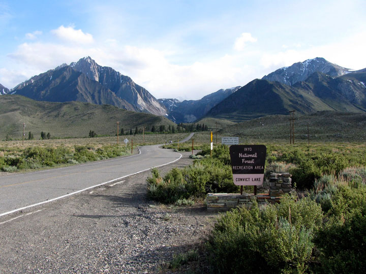
Mount Morrison and
Convict Lake Road |
|
|
 |
|
 |
|
 |
|
Sierra View and
White Mountain Road |
|
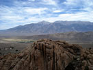
Lone Pine Peak from
Lone Pine Campground
entrance |
|
Mount Whiteny and
Whiteny Portal Road |
|
|
|
|
|
|
|
 |
|
 |
|
 |
|
White Mountain
and Lee Vining Creek |
|
Mt. Conness (southeast peak)
and Lake 10,040+ |
|
Mt. Conness (southeast peak)
and Green Treble Lake |
|
|
|
|
| Ansel Adams Wilderness |
|
 |
|
 |
|
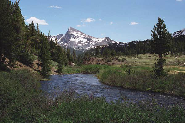
Mt. Gibbs and Mt. Dana
from Highway 395 |
|
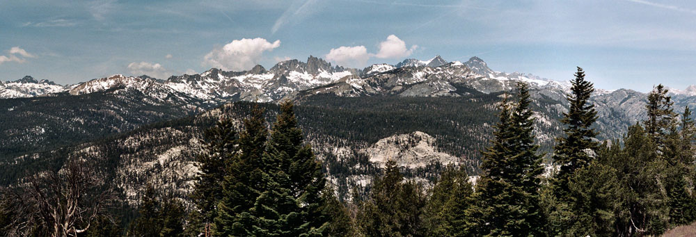
Ritter Range from Minaret Vista near Minaret Summit |
|
|
|
|
|
|
|
|
|
|
|
|
 |
|
 |
|
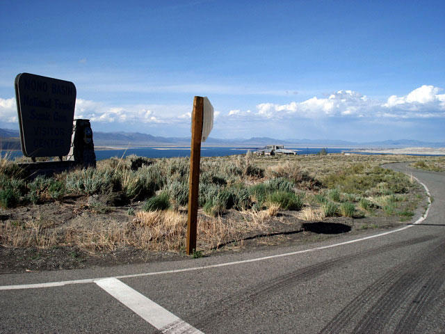
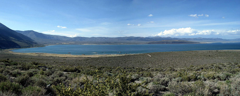
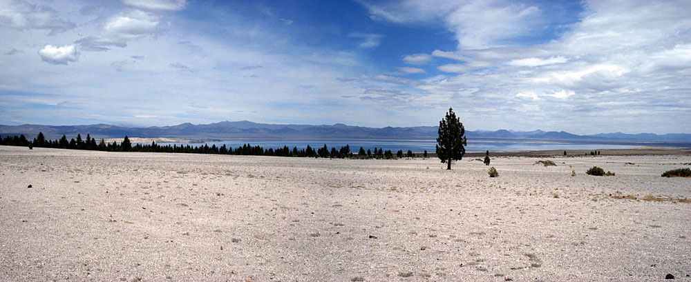
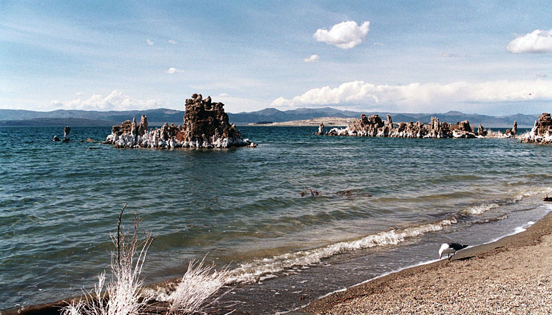
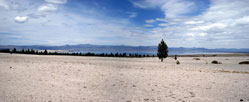
Mono Lake (Mono Basin)
from CA State Route 120 |
|
|
|
|
|
|
|
|
|
|
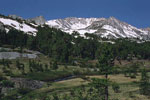
| John Muir Wilderness |
|
 |
|
 |
|
 |
|
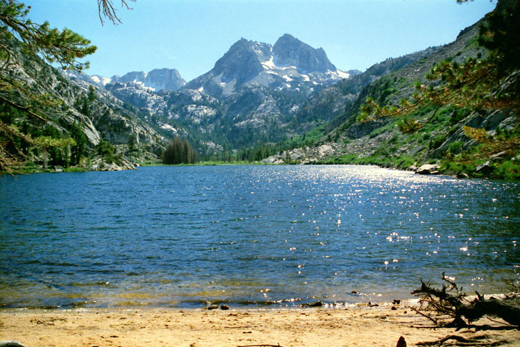
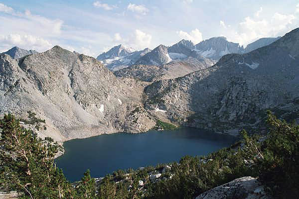
Bear Creek Spire, Mt. Dade,
Mt. Abbot and Ruby Lake |
|
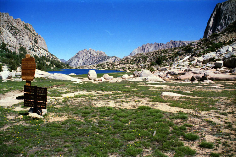
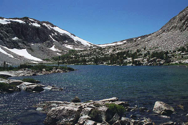
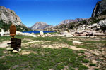
Piute Pass and Piute Lake |
|
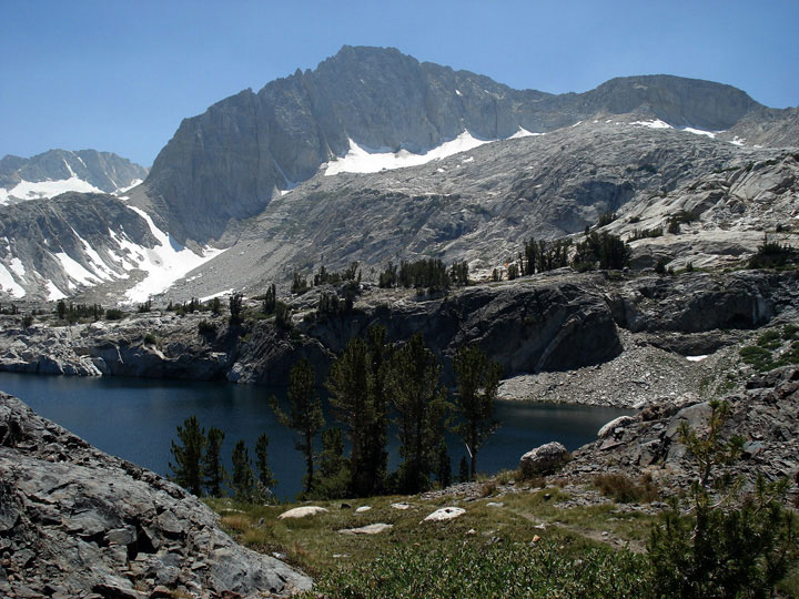
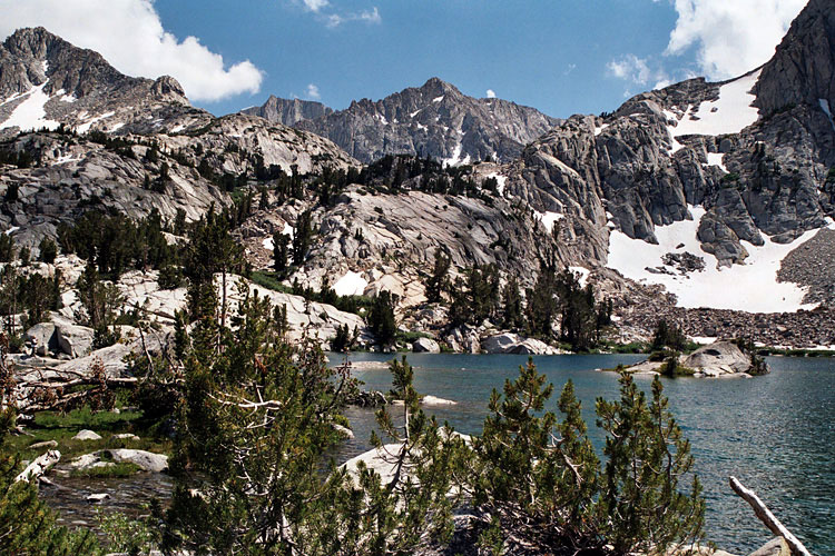
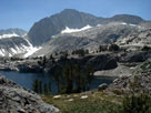
Mt. Goode and Mt. Johnson
from Lowest Treasure Lake
(Treasure Lakes) |
|
|
 |
|
 |
|
 |
|
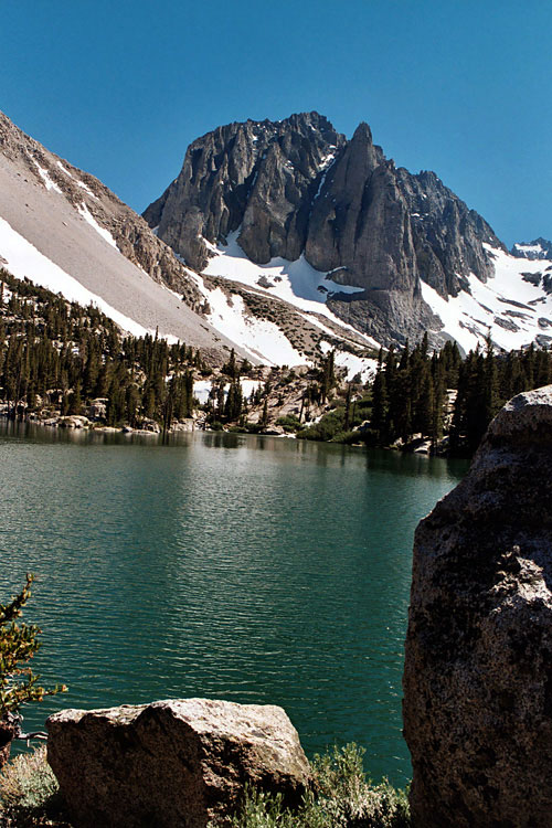
Temple Crag
and First Lake of
Big Pine Lakes |
|
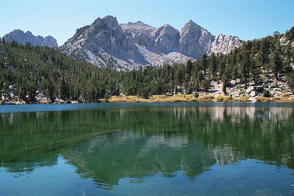
Nameless Pyramid
and Gilbert Lake |
|
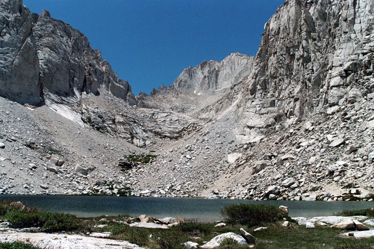
Mount Russell and
Upper Boy Scout Lake |
|
|
|
|
|
|
|
|
|
|
|
|
|
|
| White Mountains Wilderness |
|
 |
|
 |
|
 |
|
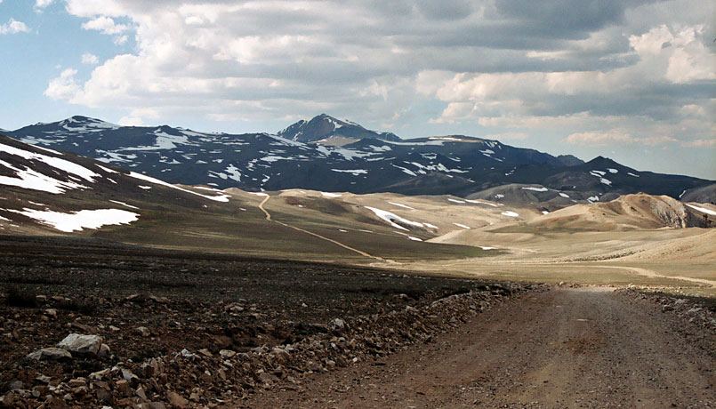
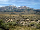
White Mountains
(Montgomery Peak)
from CA State Route 120 |
|
White Mountains and
White Mountain Road |
|
White Mountain Peak
from White Mountain Road |
|
|
|
|
|
|
|
 |
|
 |
|
 |
|
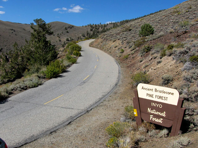
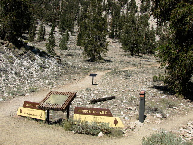
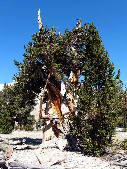
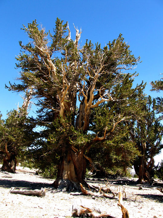
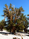
Bristlecone pines from
Timberline Ancients Nature Trail |
|
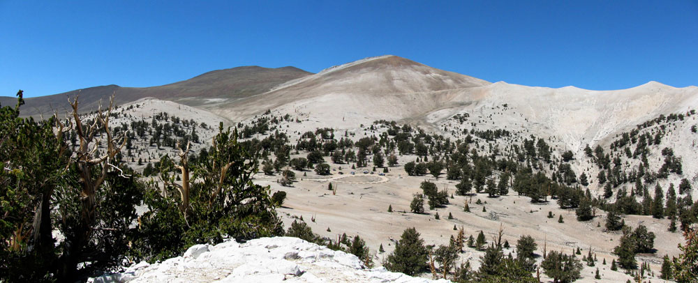
Cottonwood Basin and Patriarch Grove
from Cottonwood Basin Overlook Trail |
|
|
|
|
| Big Pine Triangle County Park |
|
 |
|
 |
|
 |
|
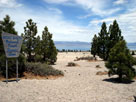
Highway 395 (north),
Highway 168 and Big
Pine Triangle County Park |
|
Big Pine Triangle
County Park |
|
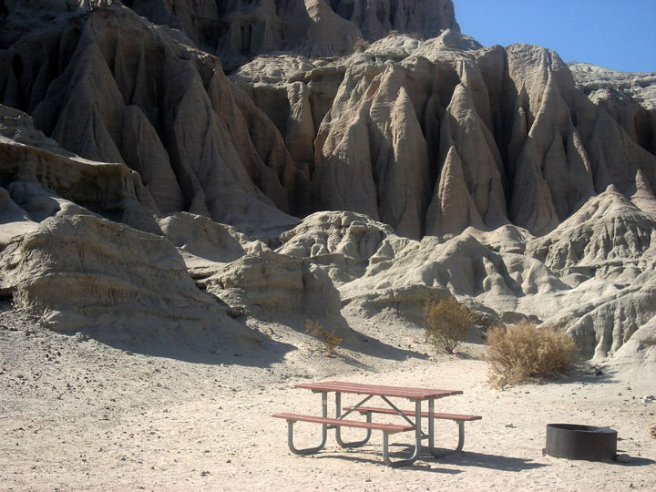
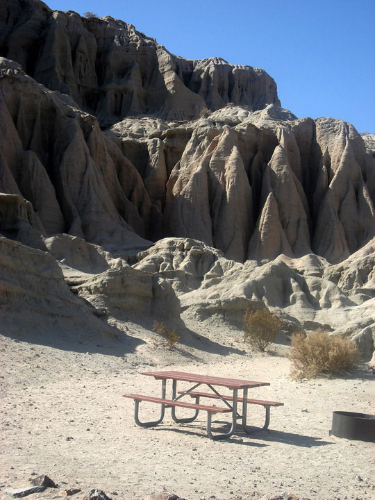
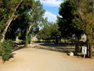
Glacier View Campground |
|
|
|
|
|
|
|
|
|
|
|
|
|
|
|
|
|
|
|
|
|
|
 |
|
 |
|
 |
|
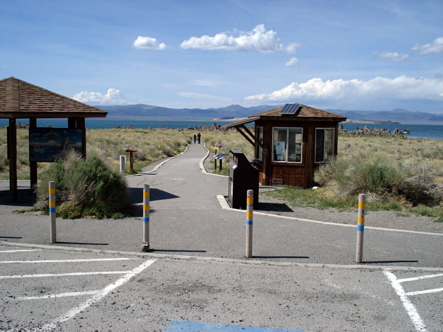
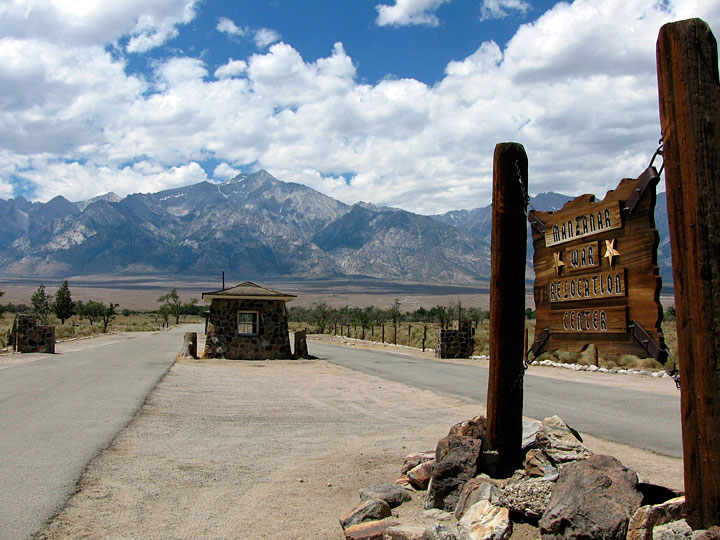
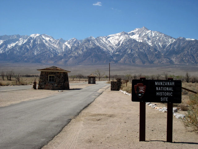
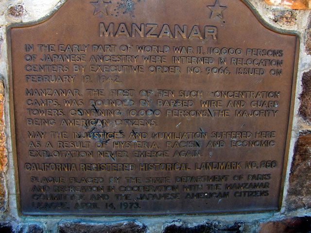
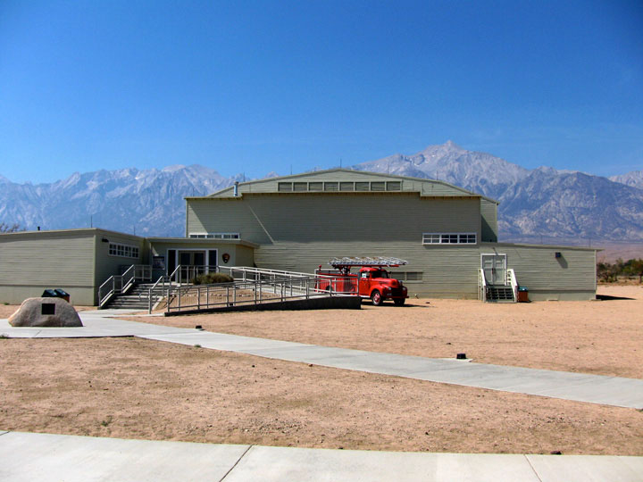
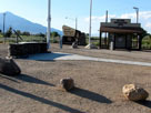
Visitor Center
(Interpretive Center) |
|
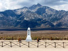
Mount Williamson
and Manzanar Cemetery |
|
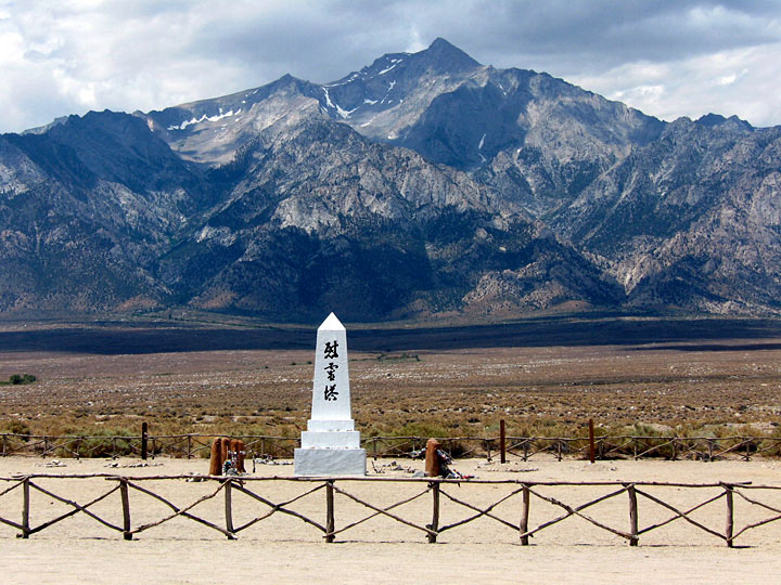
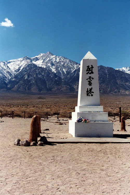
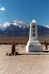
Soul Consoling
Tower |
|
|
|
|
|
|
|
|
|
|
|
|
|
|
|
|
|
|
|
|
|
|
|
|
|
|
|
|
|
|
|
|
|
|
|
|
|
 |
|
 |
|
 |
|
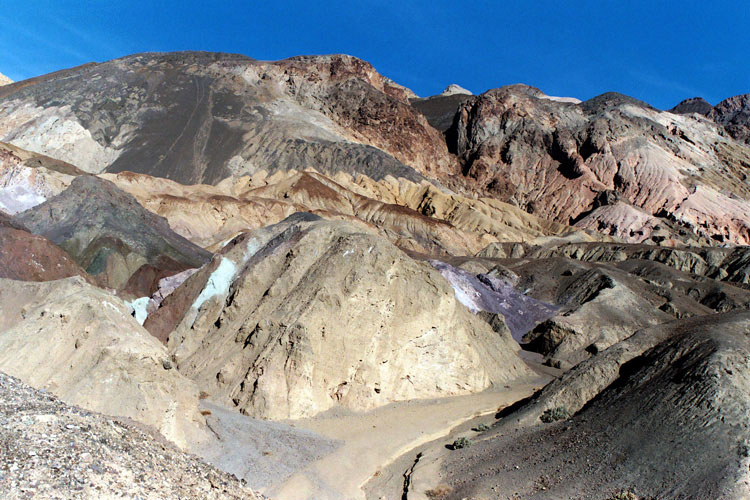
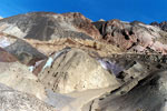
Artist's Palette
(Artist Drive) |
|
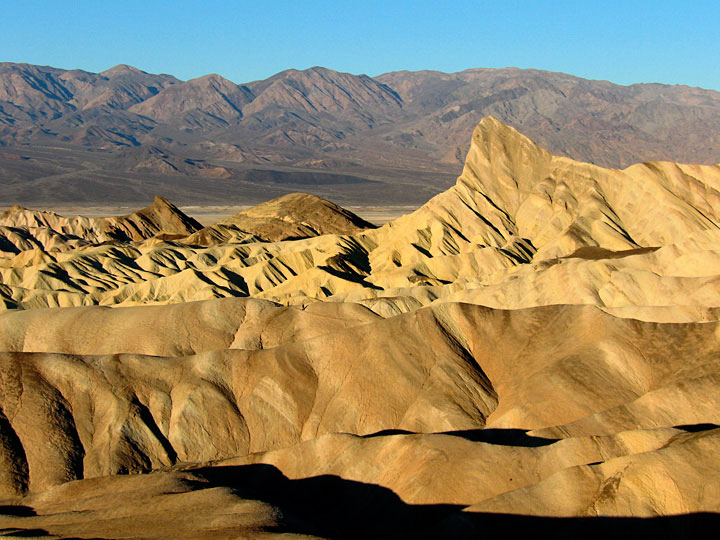
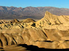
Zabriskie Point |
|
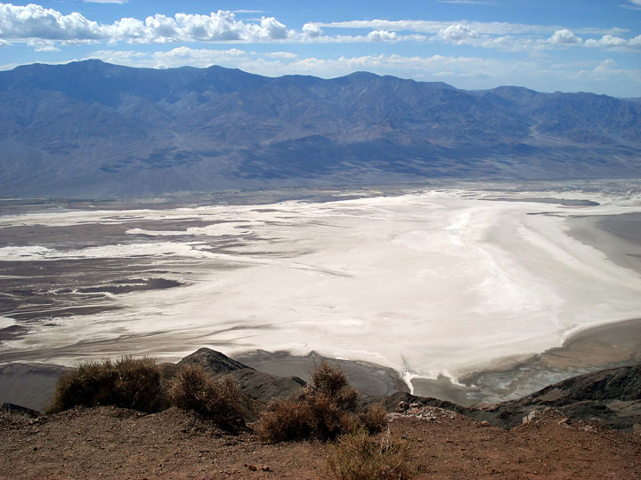
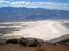
Panamint Range
and Death Valley
from Dante's View |
|
|
 |
|
 |
|
 |
|
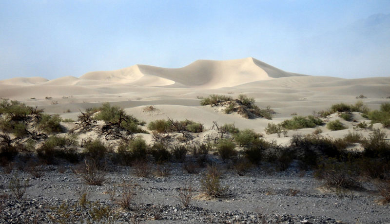
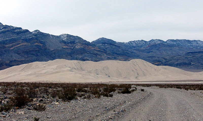
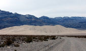
Last Chance Range
and Eureka Sand Dunes |
|
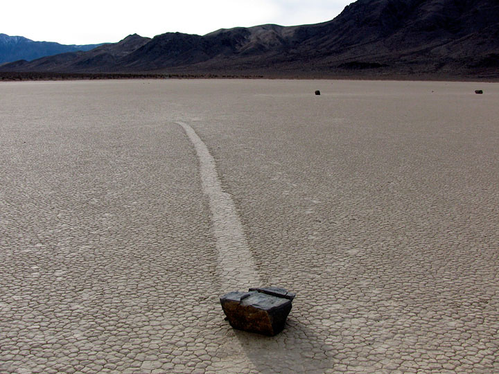
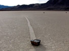
Moving Rocks
(The Racetrack) |
|
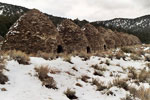
Charcoal Kilns
(Wildrose) |
|
|
|
|
|
|
|
|
|
|
|
|
|
|
| See also |
|
|
|
|