| Towns & Villages of Eastern Sierra |
 |
|
|
 |
|
 |
|
|
 |
|
|
 |
|
 |
|
|
 |
|
 |
|
|
 |
|
 |
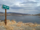
| Topaz Lake |
 |
 |
 |
 |
 |
 |
 |
 |
 |
 |
Topaz Lake from Highway
395 near Topaz Lake |
|
|
 |
|
|
 |
|
|
 |
|
|
 |
|
 |
|
|
 |
|
 |
|
|
 |
|
 |
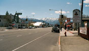
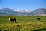
| Bridgeport |
 |
 |
 |
 |
 |
 |
 |
Bridgeport and
Highway 395 (south) |
|
Bridgeport and
Highway 395 (north) |
|
Sawtooth Ridge from
Twin Lakes Road |
|
 |
|
 |
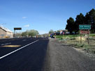
| Lee Vining |
 |
 |
 |
 |
 |
 |
 |
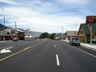
Lee Vining and
Highway 395 (south) |
|
Lee Vining and
Highway 395 (north) |
|
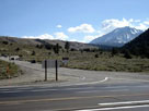
Tioga Pass Road (CA
120) and Highway 395,
near Lee Vining |
|
 |
|
 |
| Benton Hot Springs |
 |
 |
 |
 |
 |
 |
 |
 |
 |
 |
 |
 |
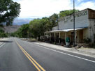
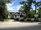
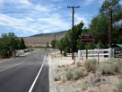
Benton Hot Springs
and CA 120 (east) |
|
Benton Hot Springs
and CA 120 (west) |
|
 |
|
 |
| June Lake |
 |
 |
 |
 |
 |
 |
 |
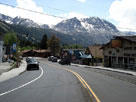
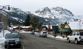
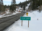
Carson Peak and town of June Lake
from June Lake Loop (CA 158) |
|
|
 |
|
 |
| Mammoth Lakes |
 |
 |
 |
 |
 |
 |
 |
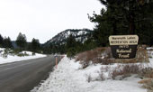
| CA 203 to Mammoth Lakes |
|
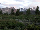
Sherwin Range from
Meridian Boulevard |
|
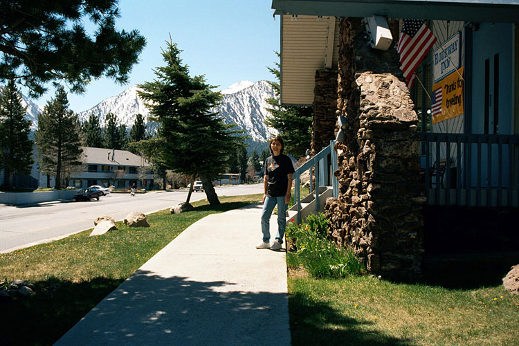
Rodeway Inn,
Mammoth Lakes |
|
 |
|
 |
|
|
 |
|
 |
|
|
 |
|
 |
| Toms Place (Tom's Place) |
 |
 |
 |
 |
 |
 |
 |
 |
 |
 |
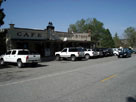
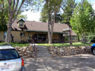
| Tom's Place and Crowley Lake Drive |
|
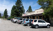
Toms Place Lodge |
|
 |
|
 |
| Bishop |
 |
 |
 |
 |
 |
 |
 |
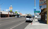
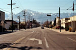
| Highway 395 (north), Bishop |
|
White Mountain Peak and
Highway 6 from Wye Road |
|
Mount Tom and
West Line St. (CA 168) |
|
 |
|
 |
|
|
 |
|
 |
| Aspendell |
 |
 |
 |
 |
 |
 |
 |
 |
 |
 |
 |
 |
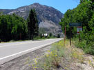
Highway 168 (west)
into Aspendell |
|
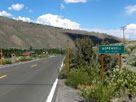
Highway 168 (east)
and Aspendell |
|
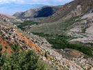
Aspendell, Jawbone
Canyon and Highway 168
from North Lake Road |
|
 |
|
 |
| South Fork Bishop Creek |
 |
 |
 |
 |
 |
 |
 |
 |
 |
 |
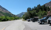
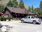
South Lake Road
and Bishop Creek Lodge |
|
Bishop Creek Lodge |
|
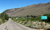
South Lake Road out from South
Fork Bishop Creek (village) |
|
 |
|
 |
|
|
 |
|
 |
| Big Pine |
 |
 |
 |
 |
 |
 |
 |
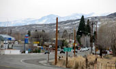
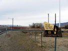
Big Pine and U.S. 395 (south)
from Baker Creek Road |
|
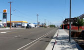
Big Pine and
U.S. 395 (north) |
|
Highway 395 (north)
and Westgard Pass
Road (CA 168) |
|
 |
|
 |
| Independence |
 |
 |
 |
 |
 |
 |
 |
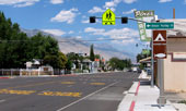
Independence and
U.S. 395 (north) |
|
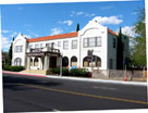
Winnedumah Hotel |
|
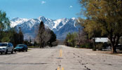
Mount Keith, Mount Bradley
and University Peak from
Onion Valley Road |
|
 |
|
 |
| Lone Pine |
 |
 |
 |
 |
 |
 |
 |
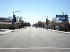
Lone Pine and
U.S. 395 (south) |
|
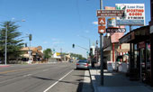
Lone Pine and
U.S. 395 (north) |
|
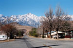
Lone Pine Peak and
Whitney Portal Road |
|
 |
|
 |
|
|
 |
|
 |
| Cartago |
 |
 |
 |
 |
 |
 |
 |
 |
 |
 |
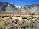
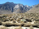
| Cartago Peak (?) from Cartago |
|
 |
|
 |
|
|
 |
|
 |
|
|
 |
|
 |
|
|
 |
|
 |
| Furnace Creek |
 |
 |
 |
 |
 |
 |
 |
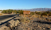
Highway 190 (west)
into Furnace Creek |
|
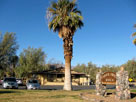
Furnace Creek Ranch |
|
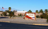
Furnace Creek Visitor Center |
|
 |
|
 |
|
|
 |
|
 |
| Inyokern |
 |
 |
 |
 |
 |
 |
 |
 |
 |
 |
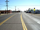
Inyokern and West
Inyokern Road (CA 178) |
|
|
 |
|
 |
| Ridgecrest |
 |
 |
 |
 |
 |
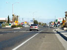
Ridgecrest and South
China Lake Boulevard
(Highway 395 Business) |
|
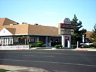
Carriage Inn, Ridgecrest
and North China Lake
Boulevard (CA 178) |
|
 |
|
 |
|
|
 |
|
 |
|
|
 |
|
 |
|
|
 |
|
 |
|
|
 |
|
 |
| Kramer Junction |
 |
 |
 |
 |
 |
 |
 |
 |
 |
 |
 |
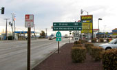
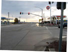
| CA 58 (east) and Kramer Junction |
|
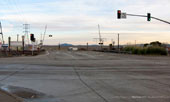
U.S. 395 (north)
and Kramer Junction |
|
 |
|
 |
| Barstow |
 |
 |
 |
 |
 |
 |
 |
 |
 |
 |
 |
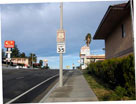
National Trails
Highway (Historic
Route 66), Barstow |
|
|