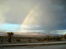
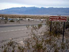
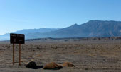
| Death Valley |
 |
| Original photo collection of sceneries along Death Valley, a valley (basin) located in Mojave Desert (Inyo County, California, USA). |
|
|
|
|
|
|
|
|
|
|
|
|
|
|
|
| Death Valley Wash |
|
 |
 |
|
|
 |
|
|
|
Big Pine Road (Death Valley
Road) crossing Death Valley
Wash near Crankshaft Junction |
|
|
|
|
|
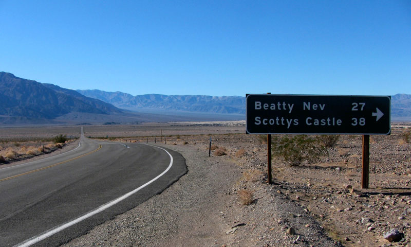
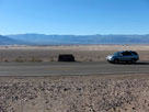
| Scottys Castle Road (Scotty's Castle Road) |
|
 |
|
|
 |
|
|
|
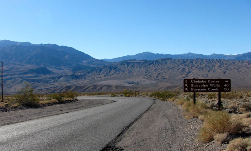
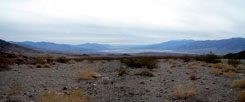
Dry Mountain and Death Valley
from Scottys Castle Road near
Ubehebe Crater Road junction |
|
|
|
|
|
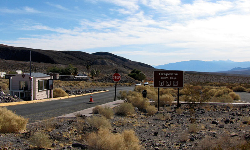
| Grapevine |
|
|
|
|
 |
|
|
|
Scottys Castle Road (south)
and Death Valley from Grapevine |
|
|
|
|
|
|
|
|
 |
|
 |
|
 |
|
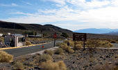
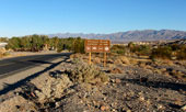
Scottys Castle Road near
Mesquite Road (Mesquite Springs
Campground Road) junction |
|
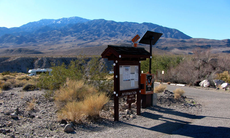
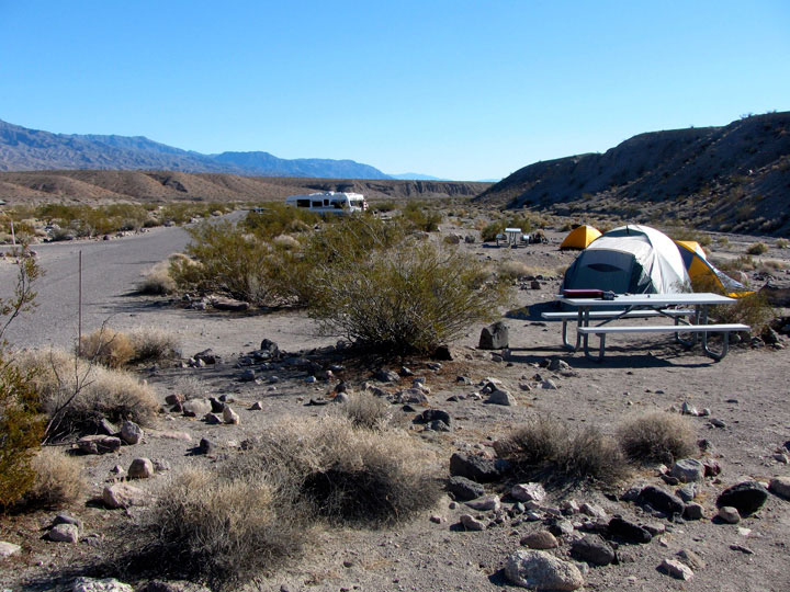
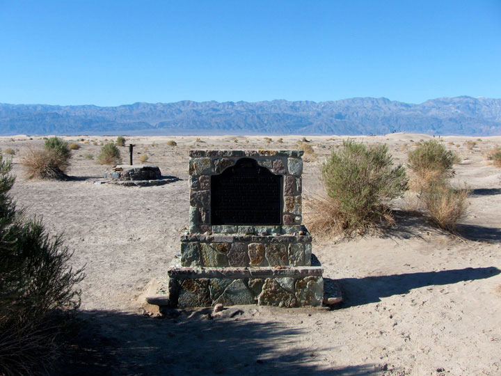
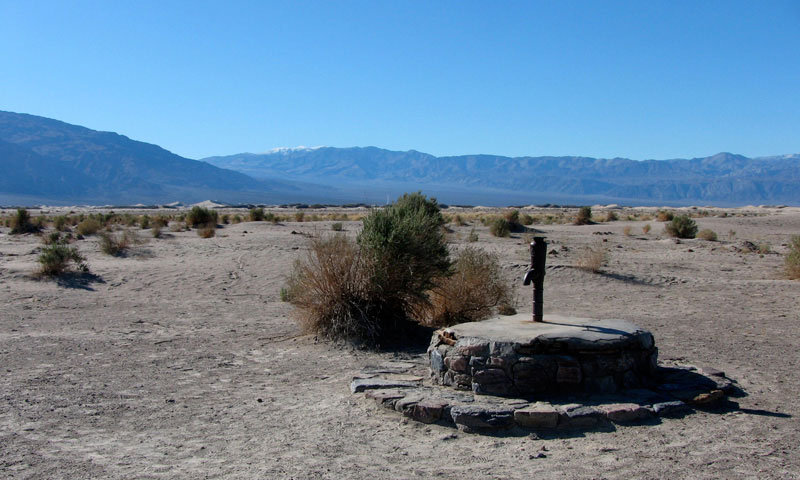
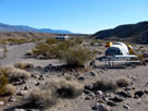
Mesquite Spring Campground (Mesquite Springs
Campground) along Death Valley Wash |
|
|
|
|
|
|
|
 |
|
 |
|
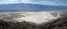
Panamint Range, Mesquite Flat and Scottys
Castle Road from below Kit Fox Hills |
|
|
|
|
|
|
|
|
|
|
|
|
|
|
|
|
|
 |
|
 |
|
Black Mountains, Death Valley and Panamint
Range (Telescope Peak) from Hells Gate |
|
Death Valley, Beatty Cutoff
(Daylight Pass Cutoff)
and Daylight Pass Road |
|
|
|
|
|
|
|
 |
|
|
|
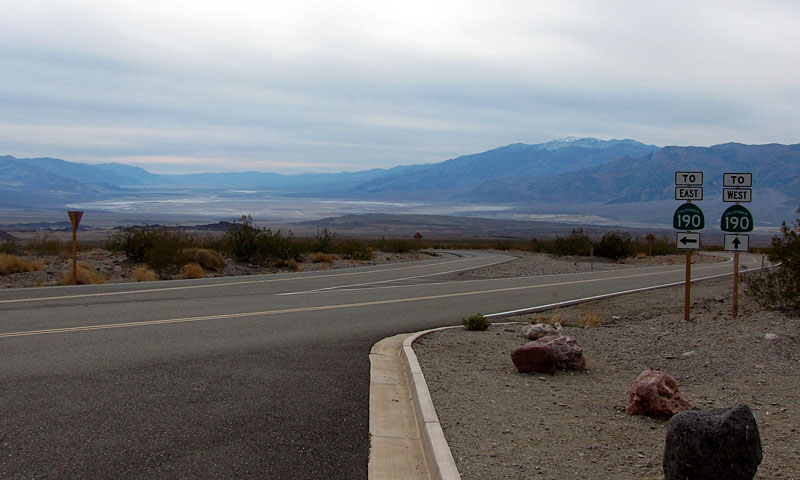
Death Valley and Highway 190
from Scottys Castle Road |
|
|
|
|
|
|
|
|
 |
|
|
|
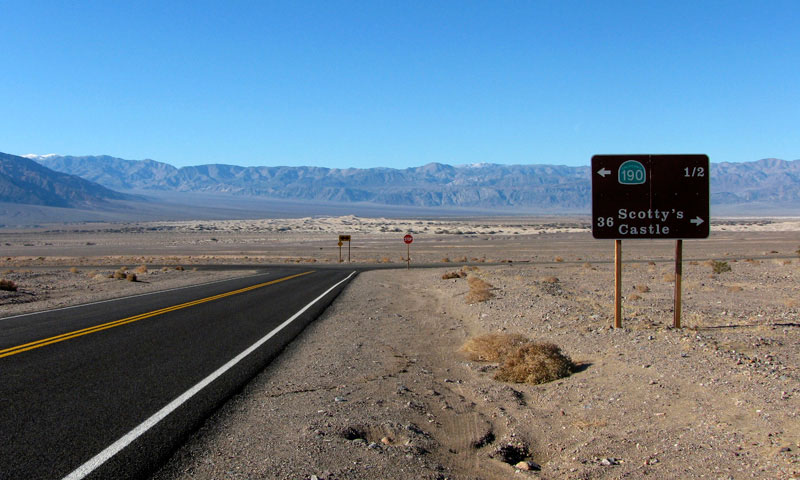
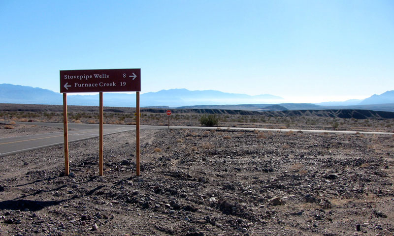
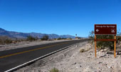
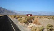
Highway 190 (west) near
Scottys Castle Road junction |
|
|
|
|
|
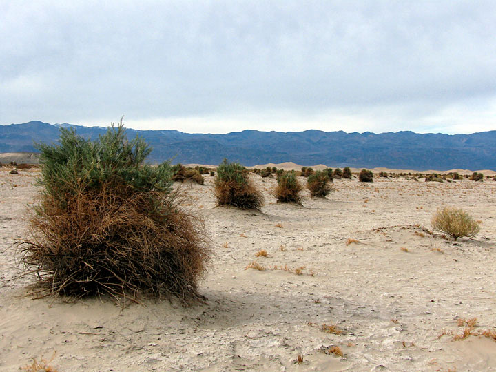
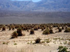
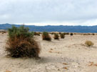
| Devil's Corn Field (Devils Cornfield) |
|
|
|
|
 |
|
 |
|
 |
|
Devil's Corn Field
and Highway 190 (west) |
|
Panamint Range and
Devil's Corn Field |
|
|
|
|
|
|
|
 |
|
 |
|
 |
|
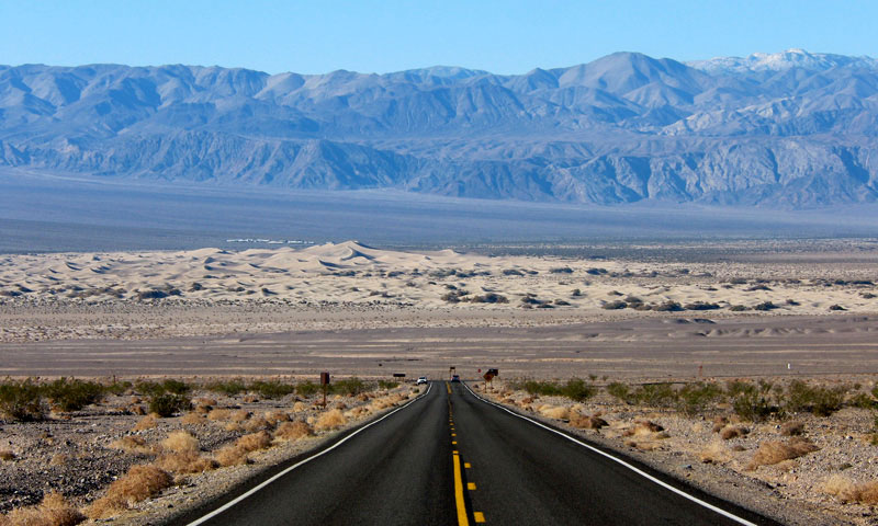
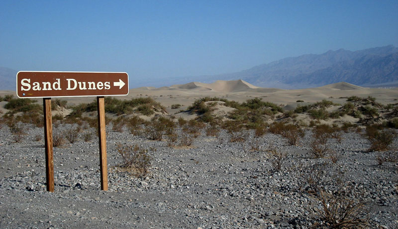
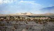
Mesquite Flat Sand Dunes (Mesquite Flat Dunes)
from Highway 190 |
|
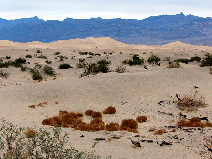
Grapevine Mountains and
Mesquite Flat Sand
Dunes from Mesquite
Flat Sand Dunes Trailhead |
|
|
|
|
|
|
|
 |
|
 |
|
 |
|
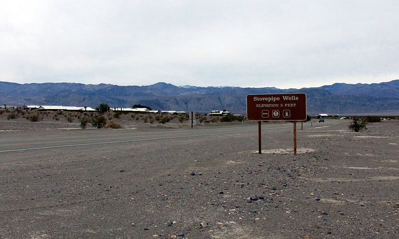
CA 190 west entering Stovepipe
Wells (Stovepipe Wells Village) |
|
Grapevine Mountains and
Death Valley from
Stovepipe Wells Village |
|
Grapevine Mountains
and Mesquite Flat
from Stovepipe Wells
Campground entrance |
|
|
|
|
|
|
|
 |
|
 |
|
 |
|
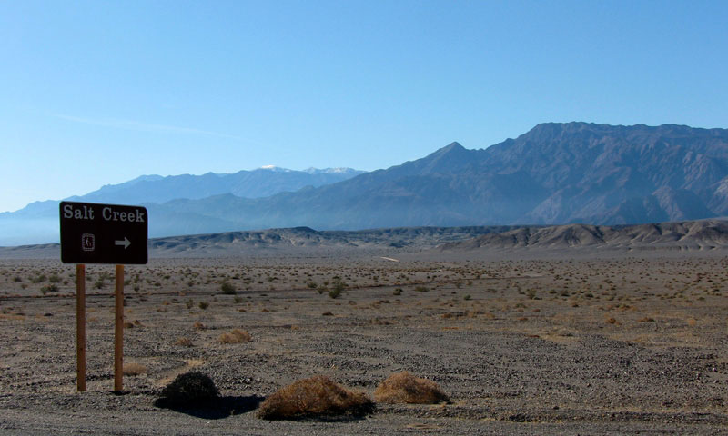
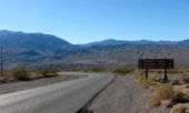
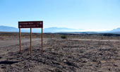
Salt Creek Road (Salt
Creek Trailhead entrance)
from Highway 190 |
|
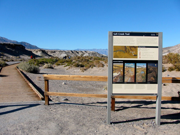
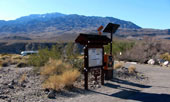
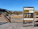
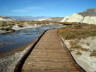
Salt Creek Trailhead |
|
Salt Creek and Salt
Creek Trail (Salt Creek
Interpretive Trail) |
|
|
|
|
|
|
|
|
|
|
|
|
 |
|
 |
|
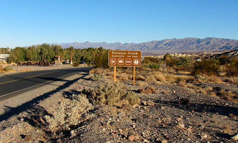
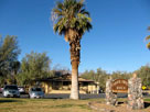
Furnace Creek Ranch
from CA 190 |
|
CA 190 (west)
entering Furnace Creek |
|
|
|
|
|
|
|
|
|
|
|
|
 |
|
 |
|
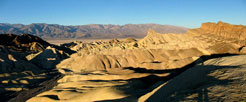
Panamint Range, Death Valley and Golden Canyon
from Golden Canyon Trailend below Red Cathedral |
|
|
|
|
|
|
|
|
|
|
|
|
|
|
|
|
|
|
|
|
|
|
 |
|
 |
|
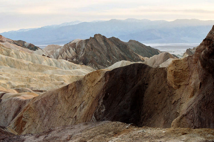
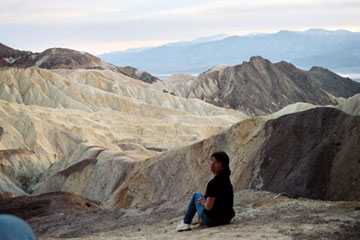
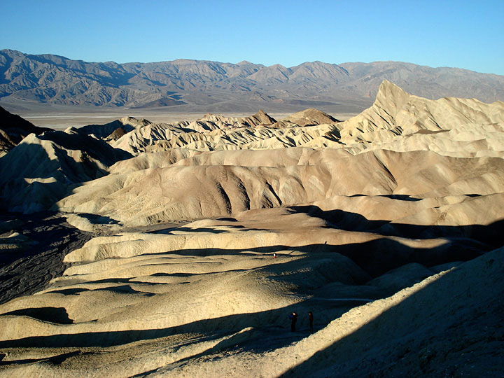
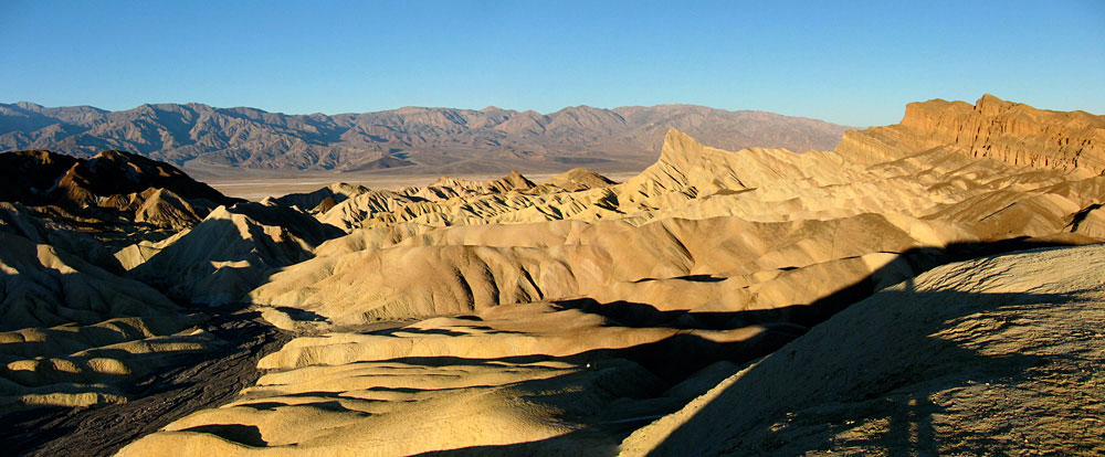
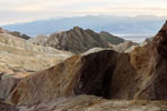
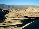
Panamint Range, Death Valley, Golden Canyon
and Manly Beacon from Zabriskie Point |
|
|
|
|
|
|
|
 |
|
 |
|
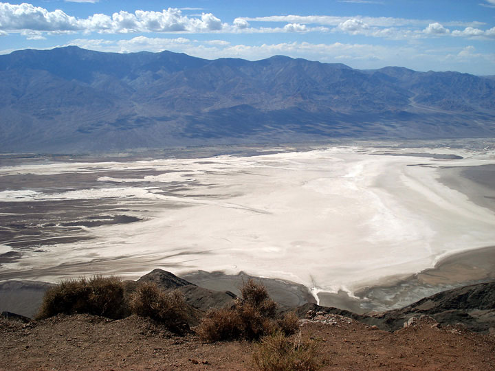
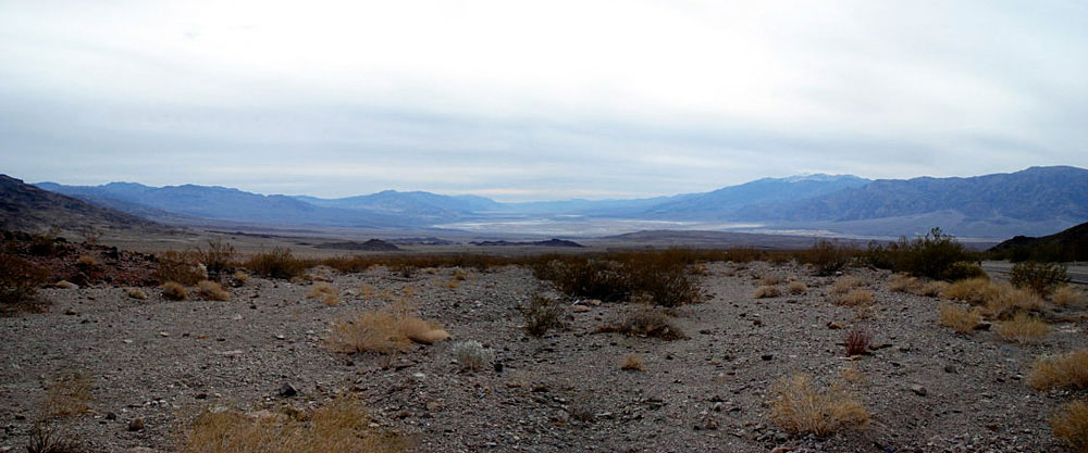
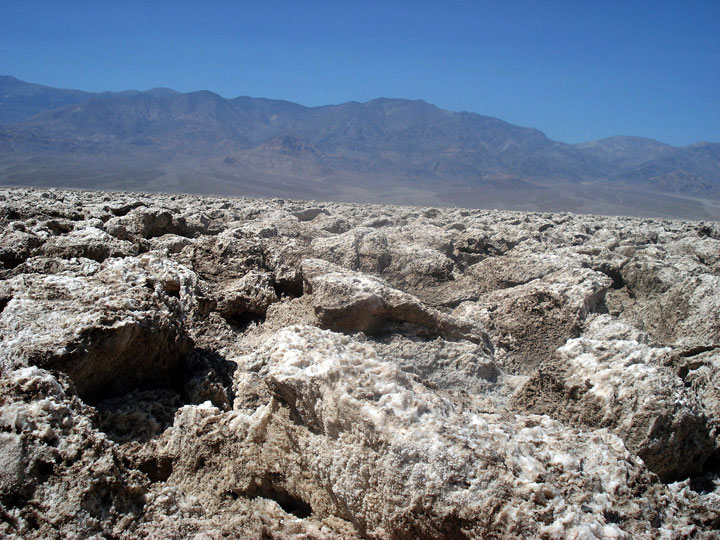
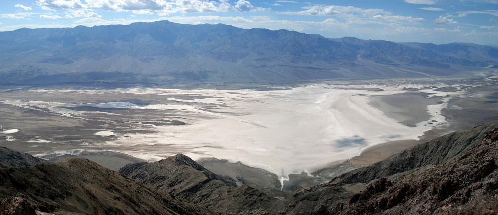
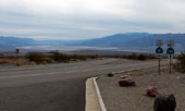
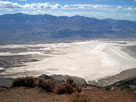
Panamint Range and Death Valley (Badwater Basin)
from Dante's View |
|
|
|
|
| Death Valley Photos on Web |
|
|
|
|