| ビュロ・パス |
 |
| (ビュロ峠、Burro Pass) |
 |
|
|
 |
|
 |
|
|
 |
|
 |
| ビュロ・パス (Burro Pass) |
 |
 |
 |
 |
 |
 |
 |
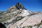
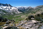
Finger Peaks
from Burro Pass |
|
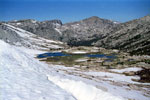
Slide Mountain, Crown Point
and Upper Piute Creek
from Burro Pass |
|
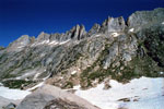
Sawtooth Ridge
from Burro Pass |
|
 |
 |
 |
 |
 |
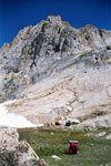
Matterhorn Peak
from Burro Pass |
|
Matterhorn Canyon
from Burro Pass |
|
 |
|
 |
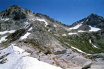
| East Ridge of Finger Peaks |
 |
 |
 |
 |
 |
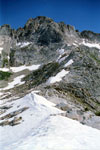
Matterhorn Peak, Whorl
Mountain and Burro Pass
with hikers from east
ridge of Finger Peaks |
|
Matterhorn Peak
and Burro Pass |
|
 |
|
 |
|
|
 |
|
 |
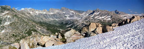
| ミュールパス (Mule Pass) からのビュロ・パス |
 |
 |
 |
 |
 |
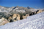
Sawtooth Ridge, Matterhorn Peak, Burro Pass,
Whorl Mountain, Finger Peaks and
Upper Piute Creek from Mule Pass |
|
Burro Pass, Whorl
Mountain and Finger Peaks |
|
 |
|
 |
| ビュロ・パス (Burro Pass) の写真 ON WEB |
 |
| 写真 |
|
|
| Photo Galleries |
 |
 |
|
| Photos |
 |
 |
 |
 |
 |
 |
 |
 |
 |
 |
 |
 |
|
|