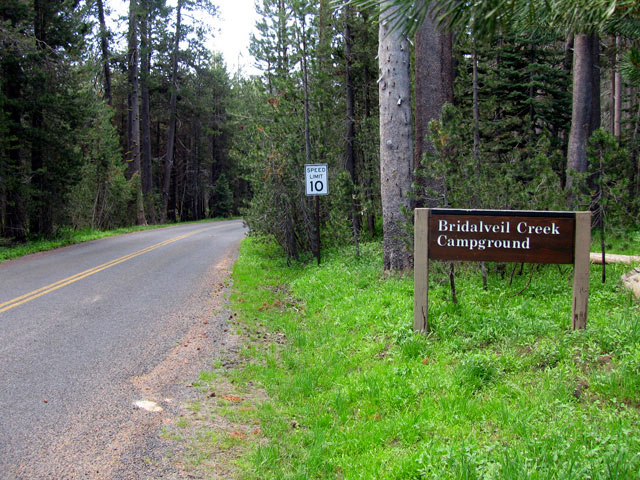
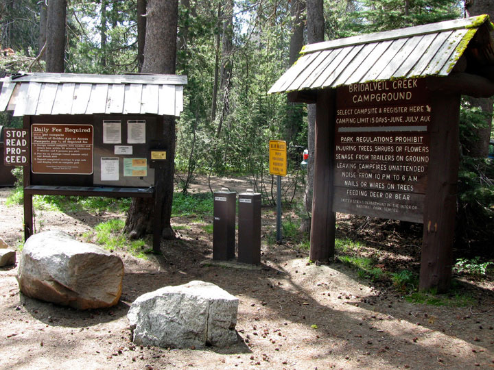
| Glacier Point Road |
 |
|
|
|
|
|
|
|
|
|
|
|
|
|
|
|
|
|
|
|
|
|
|
|
|
|
|
|
|
|
|
|
|
|
|
|
|
|
|
|
|
|
|
|
|
|
|
|
|
|
|
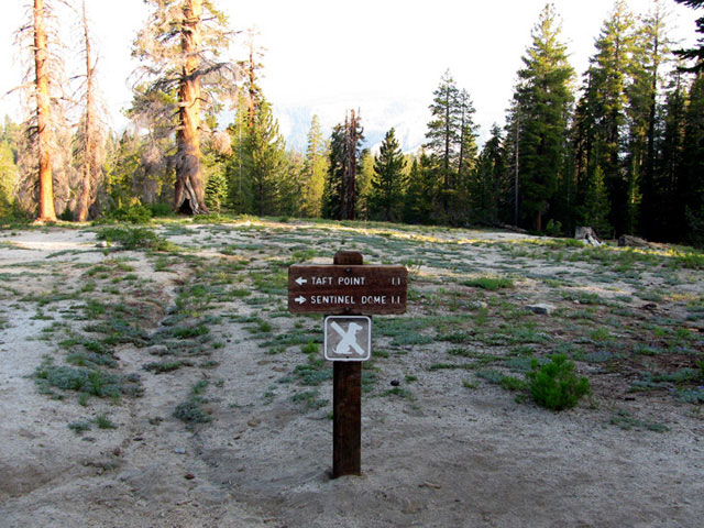
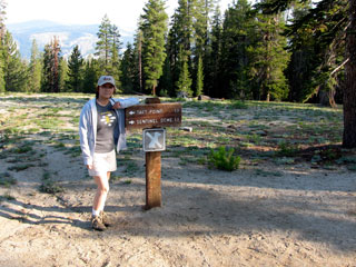
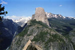
| Sentinel Dome Trail |
|
 |
|
 |
|
 |
|
 |
|
|
 |
|
 |
|
 |
|
|
|
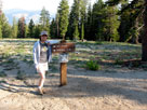
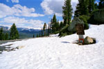
Sentinel Dome Trailhead
off Glacier Point Road |
|
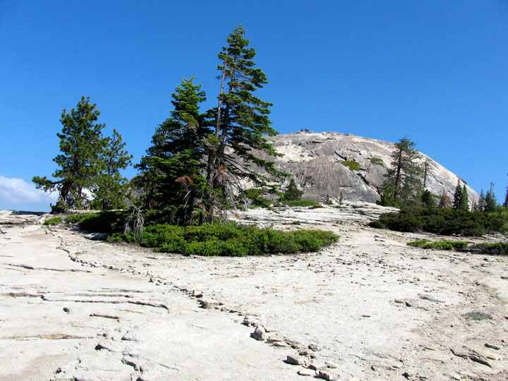
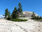
Sentinel Dome from
Sentinel Dome Trail |
|
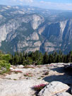
Yosemite Falls
from Sentinel
Dome summit |
|
|
|
|
|
|
|
|
|
|
| Washburn Point |
|
 |
|
|
 |
|
 |
|
|
|
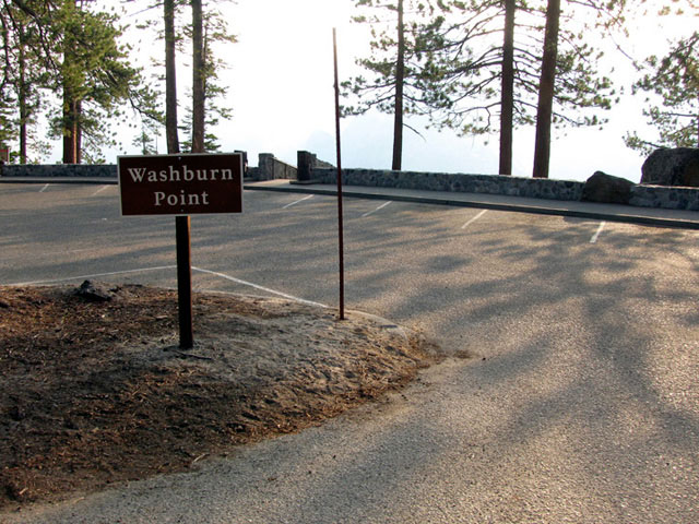
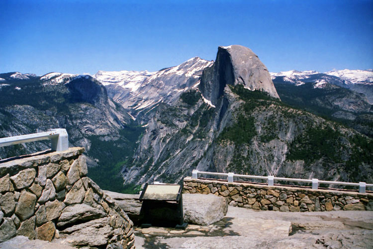
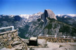
Washburn Point off
Glacier Point Road |
|
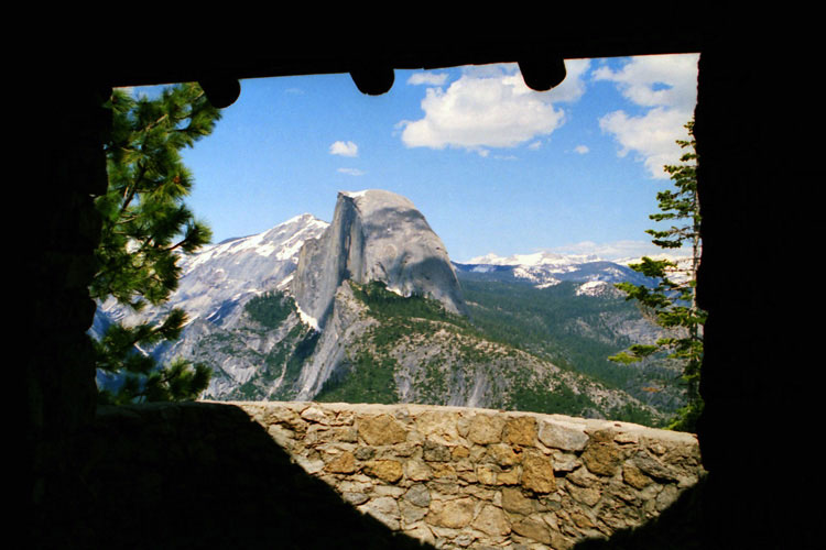
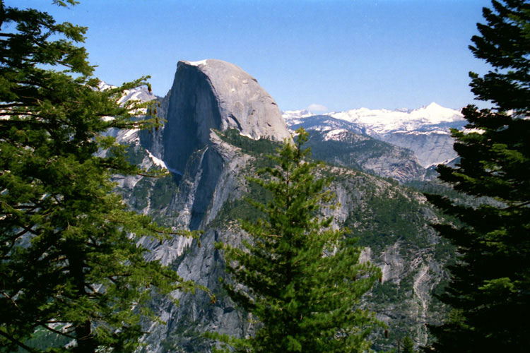
Half Dome from
Washburn Point |
|
|
|
|
|
|
|
|
|
|
| Glacier Point Trail |
|
 |
|
 |
|
 |
|
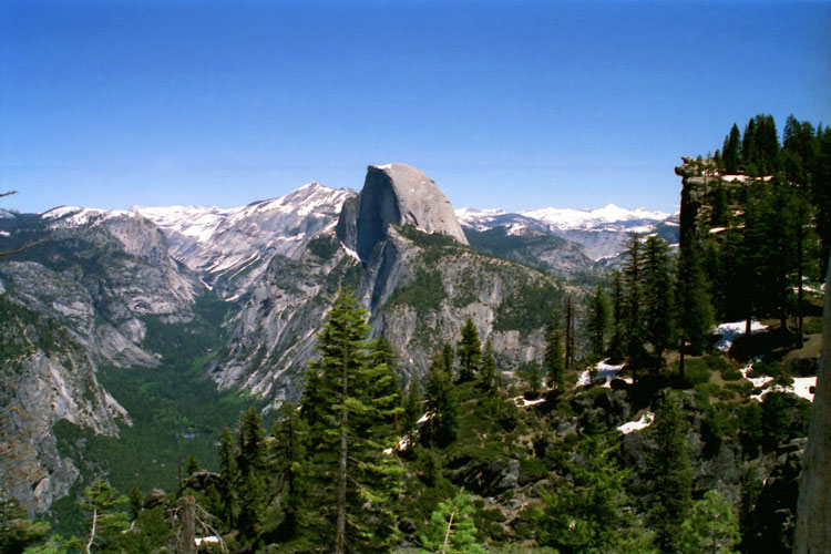
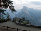
Half Dome and
Glacier Point Trail |
|
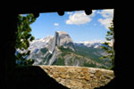
Half Dome from
Geological Exhibit |
|
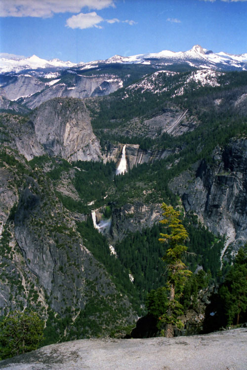
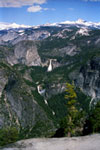
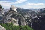
Nevada Fall and
Vernal Fall from
below Exhibit |
|
|
|
|
|
|
|
|
|
| Panorama Trail |
|
 |
|
 |
|
 |
|
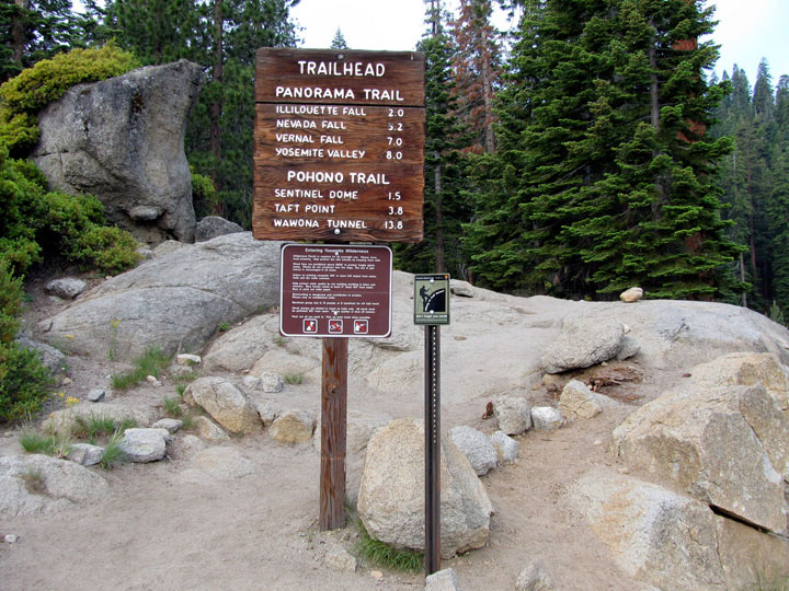
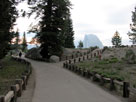
Panorama Trailhead
at Glacier Point |
|
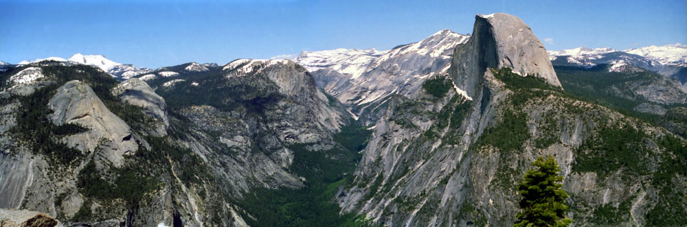
Tenaya Canyon
and Half Dome
from Panorama Trail |
|
Half Dome, Mt. Broderick,
Liberty Cap, Nevada
Fall and Vernal Fall |
|
|
|
|
| Glacier Point |
|
 |
|
 |
|
|
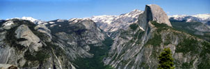
North Dome, Basket Dome, Mt. Watkins, Tenaya Canyon,
Clouds Rest and Half Dome from Glacier Point |
|
|
|
|
|
|
|
|
|
| Glacier Point Road Photos on Web |
|
|
|
|