| オルムステド・ポイント・トレイル |
 |
| (Olmsted Point Trail) |
 |
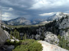
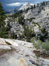
| Original photo collection of sceneries along Olmsted Point Trail (Olmsted Point Scenic Overlook Trail, Olmsted Point Nature Trail), a short hiking trail from Olmsted Point to another Scenic Overlook on the north/northwest rim of Tenaya Canyon (Mariposa County, California, USA). |
 |
       |
|
 |
|
 |
| タイオガ・ロード (Tioga Road) |
 |
 |
 |
 |
 |
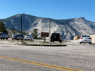
Clouds Rest and Olmsted
Point from Tioga Road |
|
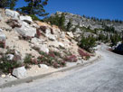
Tioga Road
from Olmsted Point |
|
 |
|
 |
|
|
 |
|
 |
|
|
 |
|
 |
|
|
 |
 |
 |
 |
 |
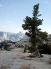
Half Dome from
Olmsted Point
Scenic Overlook |
|
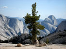
Quarter Domes
and Half Dome |
|
 |
|
 |
| Tenaya Peak from Scenic Overlook |
 |
 |
 |
 |
 |
 |
Polly Dome, Medlicott
Dome and Tenaya Peak
from Olmsted Point
Scenic Overlook |
|
Tenaya Peak |
|
|
 |
|
 |
|
|
 |
|
 |
| オルムステド・ポイント・トレイル (Olmsted Point Trail) の写真 ON WEB |
 |
| 写真 |
|
|
| Photo Galleries |
 |
 |
|
| Photos |
 |
 |
 |
 |
 |
 |
 |
 |
 |
 |
 |
|
|