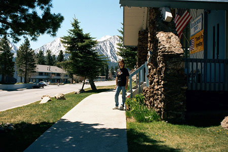
| Tioga Lake & June Lake Loop (Day 3) |
 |
|
|
|
|
|
|
|
|
|
|
|
|
|
|
|
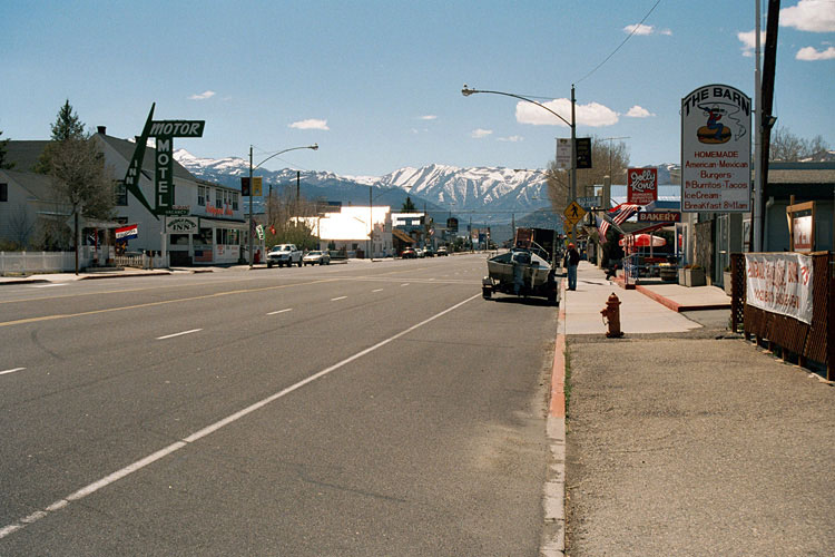
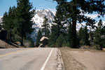
| Highway 395 (U.S. Route 395) North |
|
 |
|
 |
|
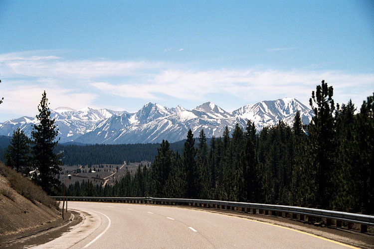
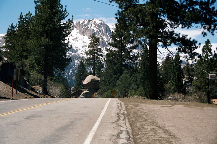
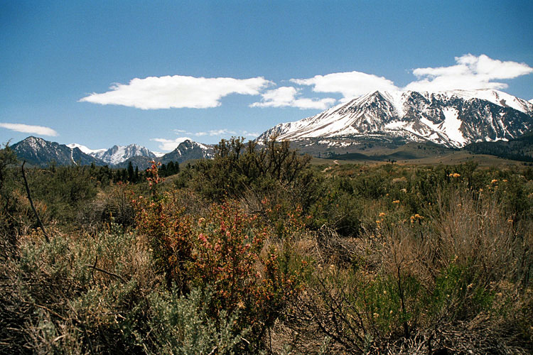
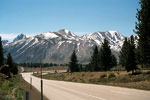
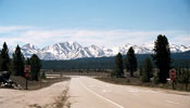
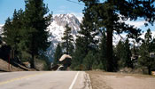
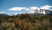
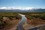
Shwerwin Range
and Highway 395 |
|
|
|
 |
|
 |
|
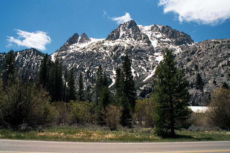
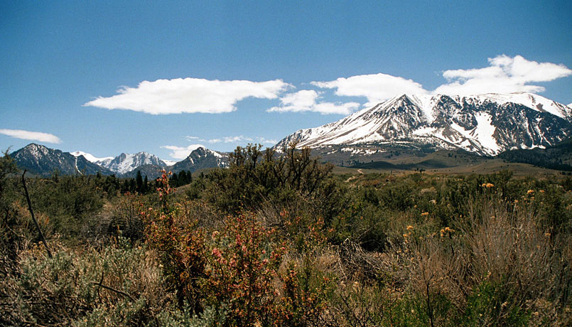
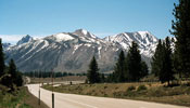
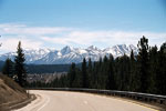
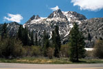
Shwerwin Range
and Highway 395 |
|
|
|
 |
|
 |
|
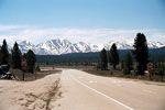
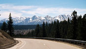
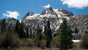
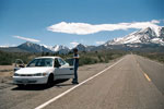
Shwerwin Range from
Highway 395 (south) |
|
|
|
|
|
|
|
|
 |
|
 |
|
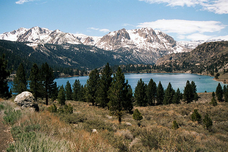
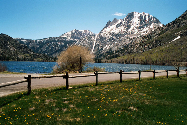
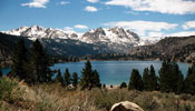
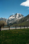
Carson Peak and June Lake
from June Lake Loop |
|
|
|
 |
|
 |
|
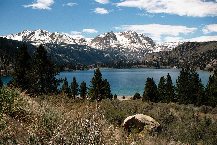
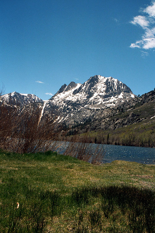
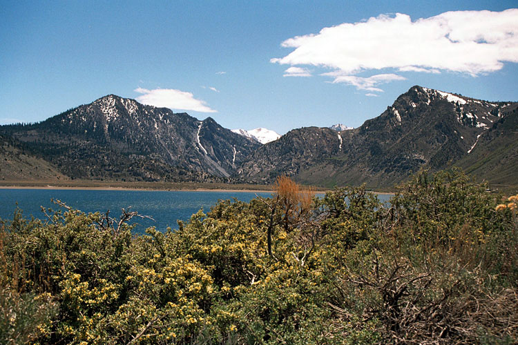
Carson Peak from
June Lake Loop |
|
|
|
 |
|
 |
|
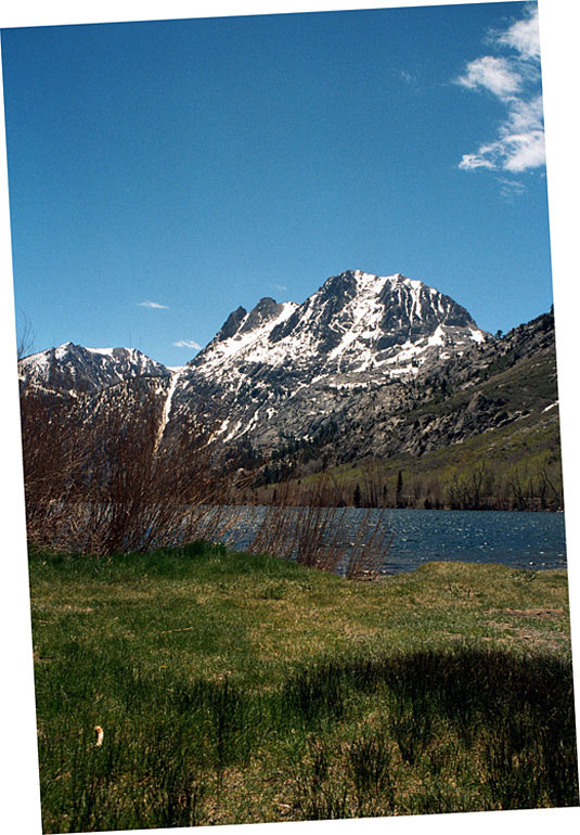
Carson Peak from
June Lake Loop |
|
|
|
|
|
|
|
|
 |
|
 |
|
|
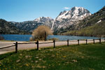
Carson Peak and Silver Lake |
|
|
|
|
|
|
|
 |
|
 |
|
 |
|
|
Carson Peak and Mt. Wood
from June Lake Loop |
|
|
|
|
|
|
|
|
|
|
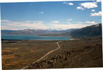
| Mono Lake Vista (Mono Lake Vista Point) |
|
 |
|
 |
|
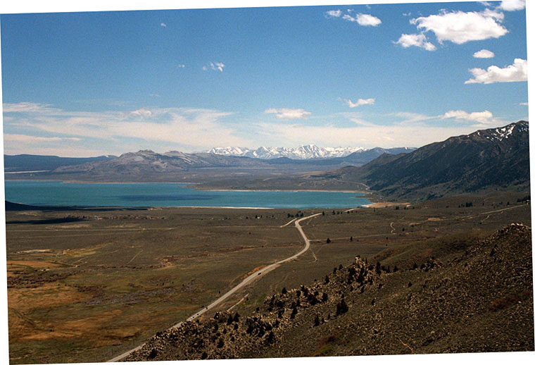
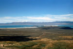
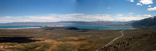
| Mono Lake and Highway 395 from Mono Lake Vista |
|
|
 |
|
| Mono Lake and Highway 395 from Mono Lake Vista |
|
|
|
|
|
|
|
 |
|
 |
|
Matterhorn Peak and Sawtooth Ridge
from Highway 395 near Bridgeport |
|
|
|
|
|
|
|
 |
|
 |
|
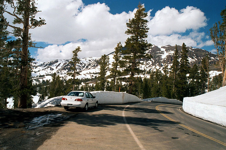
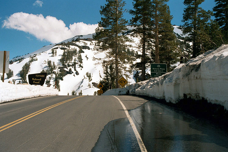
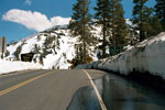
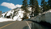
Sonora Pass and
Highway 108 (east) |
|
|
|
|
|
|
|