ITODA.COM Eastern Sierra Photo Gallery
Lake Mary Road
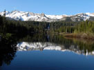
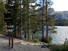
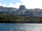
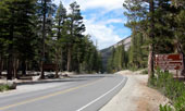
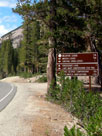
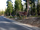
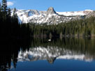
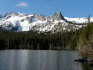
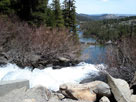
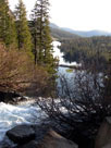
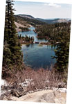
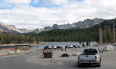
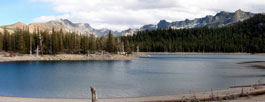
Original photo collection of sceneries along Lake Mary Road (Lake Mary Rd, Lk Mary Rd), a road from town of Mammoth Lakes to lakes of Mammoth Lakes including Lake Mary in Eastern Sierra (Mono County, California, USA).

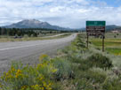
Highway 203 (California State Route 203) to Mammoth Lakes
Mammoth Mountain and
Highway 395 near
Highway 203 junction
Highway 203 to Mammoth Lakes

Main Street (California State Route 203)
Paul Schat's Bakery Stellar Brew & Deli

Minaret Road (California State Route 203)
Forthcoming...

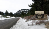
Lake Mary Road up to Mammoth Lakes
Forthcoming...

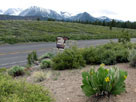
Twin Lakes Vista
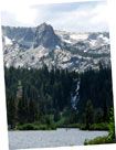
Mammoth Crest, Crystal Crag and Twin Lakes
from Twin Lakes Vista off Lake Mary Road
Crystal Crag
and Twin Falls

Twin Lakes Loop Road (Twin Lakes Road)
Mammoth Crest, Twin
Falls and Twin Lakes from
Twin Lakes Loop Road
Twin Falls and Twin Lakes
from Twin Lakes
Campground

Panorama Dome Trailhead
Forthcoming...

Twin Lakes Loop Road (Twin Lakes Road)
Forthcoming...

Old Mammoth Road
Mammoth Mountain
and Lake Mary Road
from Old Mammoth Road
Mammoth Rock from
Old Mammoth Road

Lake Mary Loop Road (Around Lake Mary Road)
Lake Mary Loop Road
and Lake Mary Road
Pine City Campground
and Lake Mary Loop Rd
Cold Water Campground
entrance (Cold Water
Creek Campground Rd)

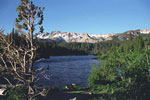
Lake Mary
Crystal Crag and Lake
Mary from Lake Mary Road
Crystal Crag
and Lake Mary

Lake Mary Loop Road (Around Lake Mary Road)
Lake Mary Loop Road
and Lake Mary Road
Lake Mary Road and
Lake Mary Loop Road

Wildyrie Lodge
Forthcoming...

Twin Falls Picnic Site
Forthcoming...

Lake Mamie
Lake Mamie from
Lake Mary Road
Mammoth Crest, Crystal Crag and Lake Mamie
from Lake Mary Road

Top of Twin Falls
Twin Falls (Lake Mamie outlet) and
Twin Lakes from Lake Mary Road
Twin Lakes

Twin Lakes from Road
Twin Lakes from Lake Mary Road

Mammoth Pass Trailhead
near Horseshoe Lake
Mammoth Pass Trail

Horseshoe Lake
Mammoth Crest and Horseshoe
Lake from Horseshoe Lake
Picnic Site (Lake Mary Roadend)
Mammoth Crest and Horseshoe Lake

Lake Mary Road Photos on Web
Forthcoming...
Eastern Sierra
Areas/Sites
Ranges
Peaks
Passes
High Passes
Summits
Glaciers
Streams
Falls
Lakes
High Lakes
Canyons
Valleys
Meadows
Hot Springs
Parks & Reserves
Wilderness Areas
Trails
Roads
Benton Crossing Rd
Big Pine Rd
Bodie Rd
Buttermilk Rd
Cerro Gordo Rd
Convict Lake Rd
Crowley Lake Dr
Death Valley Rd
Eureka Valley Rd
Glacier Lodge Rd
Goodale Rd
Horseshoe Meadows Rd
Hot Creek Hatchery Rd
Isabella Walker Pass Rd
June Lake Loop
Lake George Rd
Lake Mary Rd
Lake Mary Loop Rd
Lake Sabrina Rd
Lone Pine Narrow
 Gauge Rd
Long John Canyon Rd
Lundy Lake Rd
Lower Rock Creek Rd
McGee Creek Rd
Minaret Rd
Moffat Ranch Rd
Monitor Pass Rd
Movie Rd
Ninemile Canyon Rd
North Lake Rd
Northshore Drive
Onion Valley Rd
Owens Gorge Rd
Owens River Rd
Panamint Valley Rd
Pine Creek Rd
Pole Line Rd
Poole Power Plant Rd
Rock Creek Rd
Saddlebag Lake Rd
Sage Flats Rd
Saline Valley Rd
Silver Canyon Rd
Sonora Pass Hwy
South Lake Rd
Sweet Water Rd
Tinemaha Rd
Tioga Pass Rd
Tuttle Creek Rd
Twin Lakes Rd
Twin Lakes Loop Rd
Virginia Lakes Rd
Westgard Pass Rd
White Mountain Rd
Whitney Portal Rd
Highways
Campgrounds
Towns

Northern Sierra
Southern Sierra

Sierra Nevada Mountains

Yosemite
Sequoia & Kings Canyon

National Parks in U.S.
National Parks in Canada
[ English | Japanese ]

For questions and comments, please send e-mail to webmaster@itoda.com.
Copyright © 2001-2011, Object Factory, Inc. All rights reserved.