| レイク・マリー・ロード |
 |
| (Lake Mary Road) |
|
|
|
|
|
|
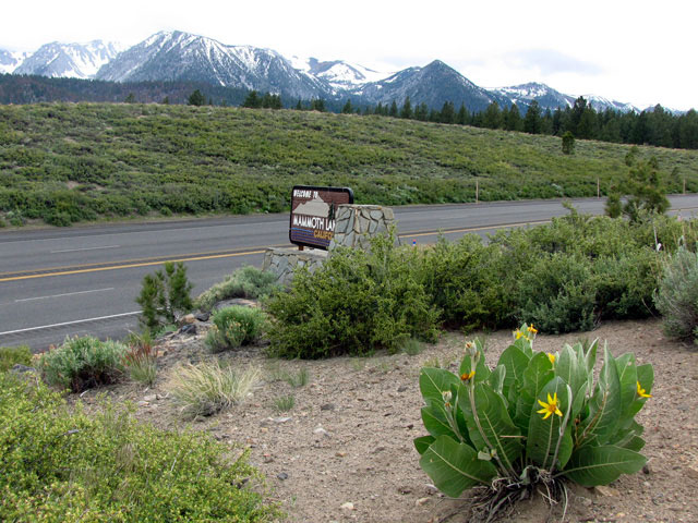
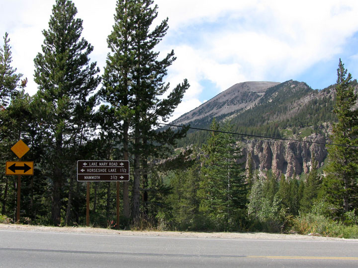
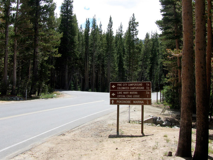
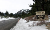
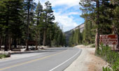
| Highway 203 (California State Route 203) to Mammoth Lakes |
|
 |
|
 |
|
 |
|
|
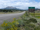
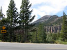
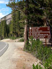
Mammoth Mountain and
Highway 395 near
Highway 203 junction |
|
Highway 203 to Mammoth Lakes |
|
|
|
|
|
|
|
|
|
|
|
|
|
|
|
|
|
|
|
|
| Twin Lakes Vista |
|
 |
|
 |
|
 |
|
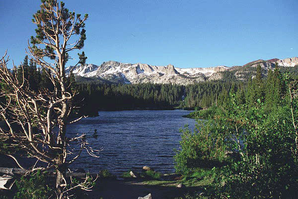
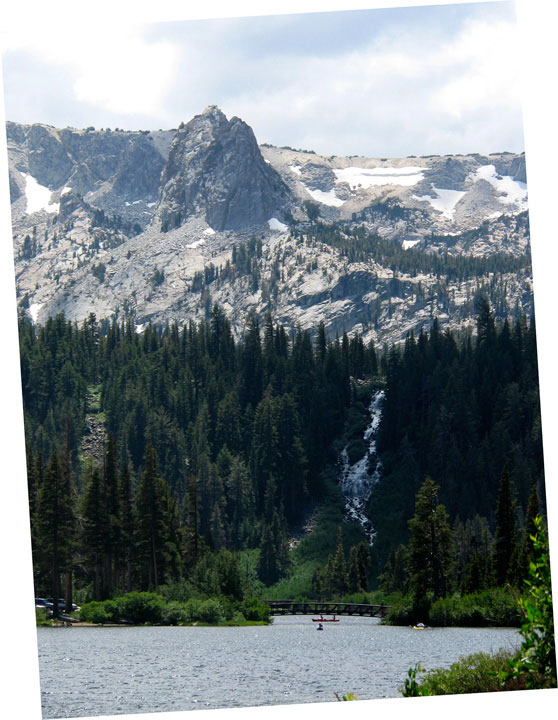
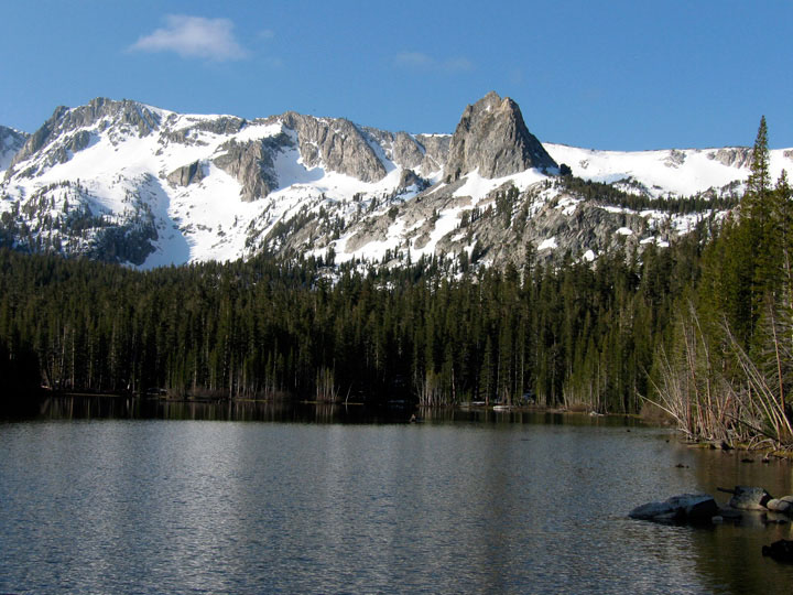
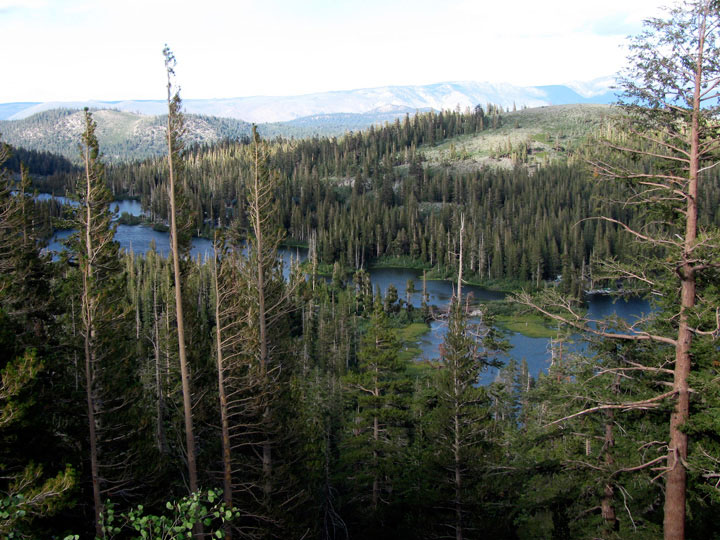
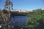
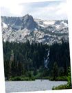
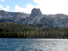
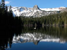
Mammoth Crest, Crystal Crag and Twin Lakes
from Twin Lakes Vista off Lake Mary Road |
|
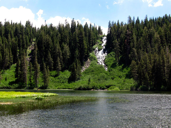
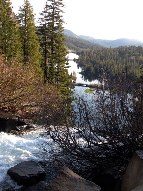
Crystal Crag
and Twin Falls |
|
|
|
|
|
|
|
|
|
|
|
|
|
|
|
|
|
|
|
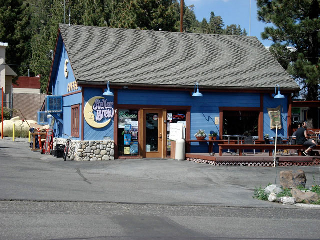
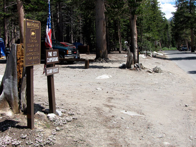
| Old Mammoth Road |
|
 |
|
 |
|
Mammoth Mountain
and Lake Mary Road
from Old Mammoth Road |
|
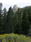
Mammoth Rock from
Old Mammoth Road |
|
|
|
|
|
|
|
|
|
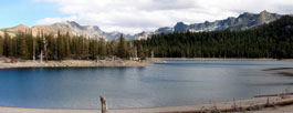
| レイク・マリー (マリー湖、Lake Mary) |
|
 |
|
 |
|
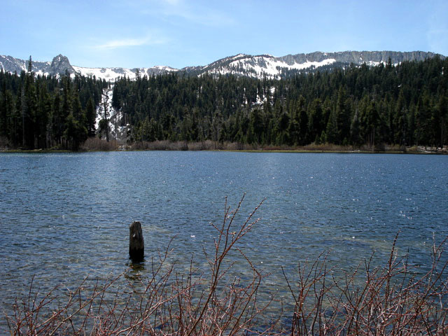
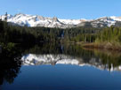
Crystal Crag and Lake
Mary from Lake Mary Road |
|
Crystal Crag
and Lake Mary |
|
|
|
|
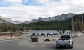
| Lake Mary Loop Road (Around Lake Mary Road) |
|
 |
|
 |
|
 |
|
Lake Mary Loop Road
and Lake Mary Road |
|
Lake Mary Road and
Lake Mary Loop Road |
|
|
|
|
|
|
|
|
|
|
|
|
|
|
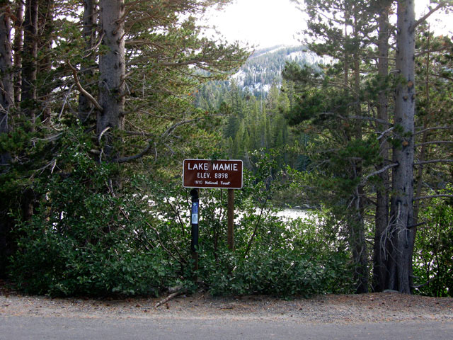
| Lake Mamie |
|
 |
|
 |
|
 |
|
Lake Mamie from
Lake Mary Road |
|
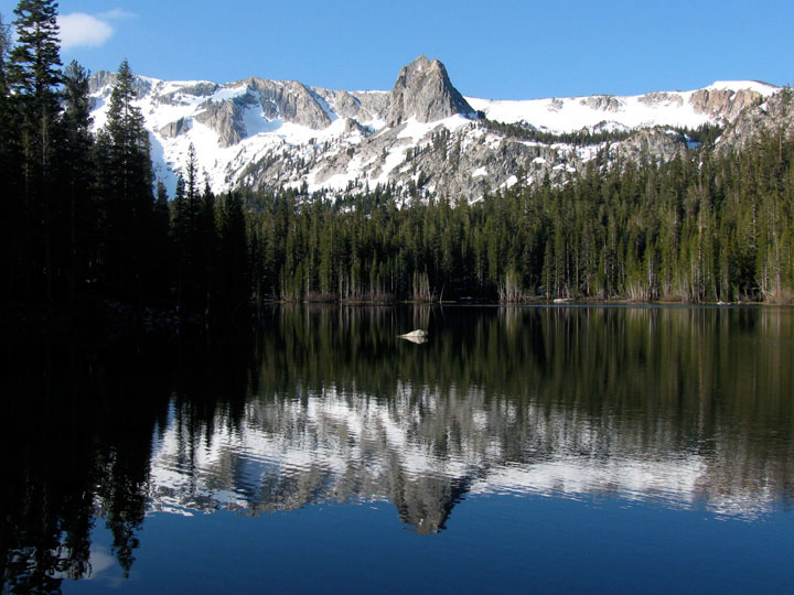
Mammoth Crest, Crystal Crag and Lake Mamie
from Lake Mary Road |
|
|
|
|
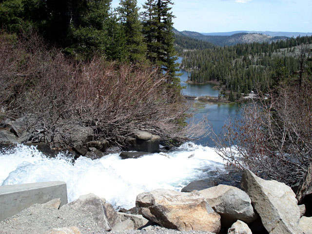
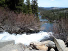
| Top of Twin Falls |
|
 |
|
 |
|
 |
|
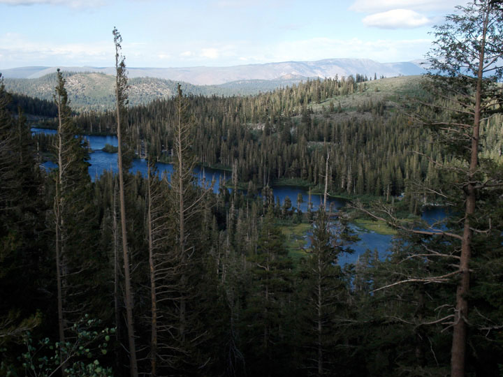
Twin Falls (Lake Mamie outlet) and
Twin Lakes from Lake Mary Road |
|
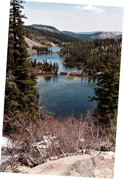
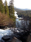
Twin Lakes |
|
|
|
|
| Twin Lakes from Road |
|
 |
|
 |
|
| Twin Lakes from Lake Mary Road |
|
|
|
|
|
|
|
|
|
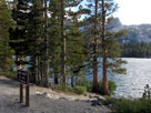
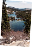
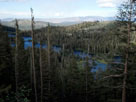
| Horseshoe Lake |
|
 |
|
 |
|
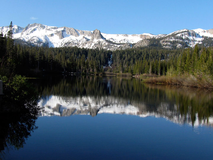
Mammoth Crest and Horseshoe
Lake from Horseshoe Lake
Picnic Site (Lake Mary Roadend) |
|
Mammoth Crest and Horseshoe Lake |
|
|
|
|
| レイク・マリー・ロード (Lake Mary Road) の写真 ON WEB |
|
|
|
|