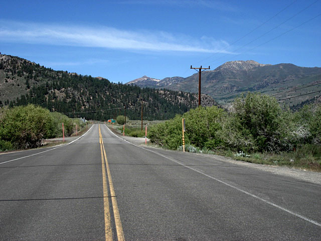
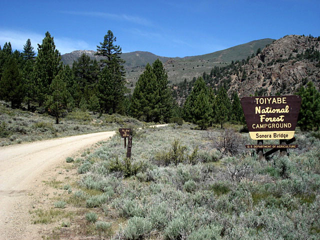
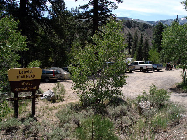
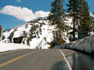
| Sonora Pass Highway |
 |
|
|
|
|
|
|
|
|
|
|
|
|
|
|
|
|
|
|
|
|
|
|
|
|
|
|
|
|
|
|
|
|
|
|
|
|
|
|
|
|
|
|
|
|
|
|
|
|
|
|
|
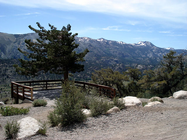
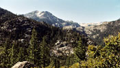
| Hoover Wilderness from Highway |
|
 |
 |
 |
 |
|
|
 |
|
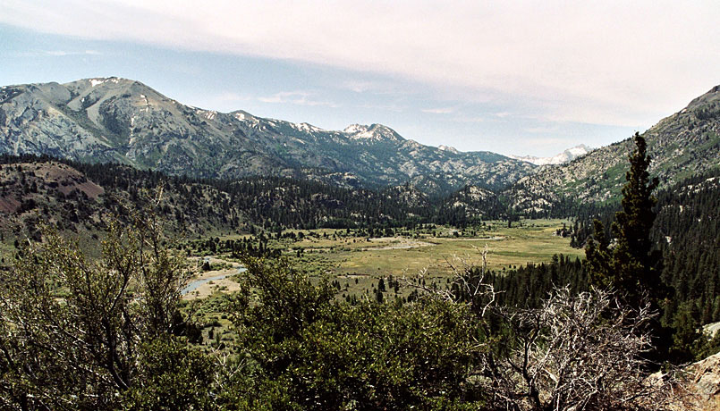
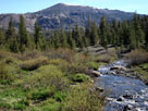
Latopie Peak, Pacific Crest Peak (Peak 11,245)
and Peak 10,990+ (Hoover Wilderness)
from Highway 108 below Sonora Pass |
|
|
|
|
|
|
|
 |
|
 |
|
 |
|
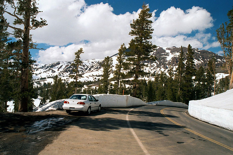
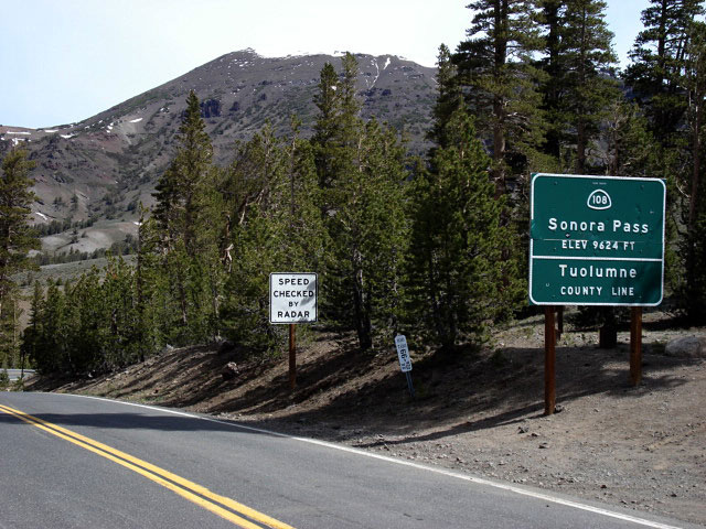
| Highway 108 (east) at Sonora Pass |
|
Pacific Crest Peak and
Pacific Crest Trail (south) |
|
|
|
|
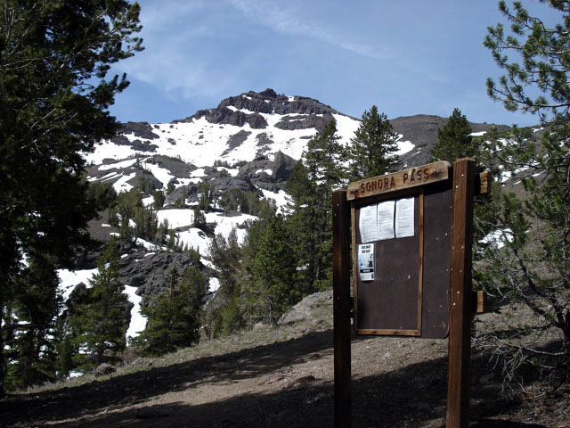
| Sonora Pass Highway (Highway 108) beyond Sonora Pass |
|
 |
|
 |
|
 |
|
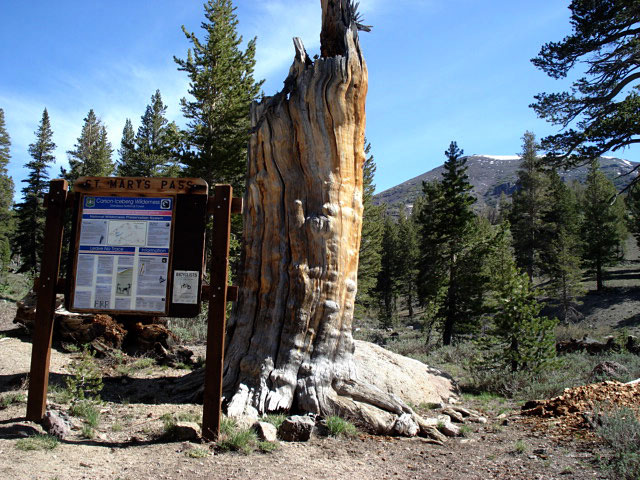
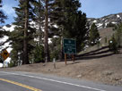
Saint Mary's Pass Trailhead
off Highway 108 |
|
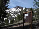
Sonora Peak
and Deadman Creek |
|
Night Cap Peak
from Highway 108 |
|
|
|
|
| Sonora Pass Highway Photos on Web |
|
|
|
|