|
|
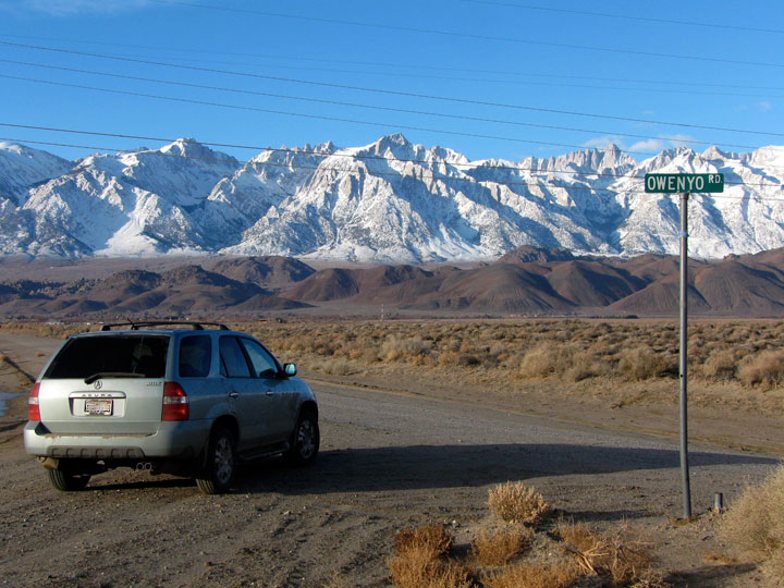
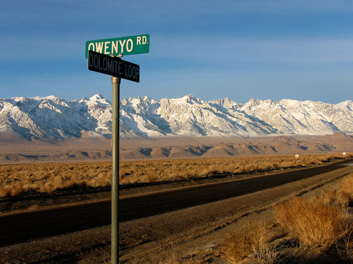
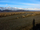
| Owenyo Road |
|
| (Owenyo Lone Pine Road) |
|
|
|
|
|
|
|
|
|
|
|
|
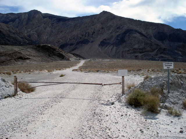
| Lone Pine Narrow Gauge Road |
|
 |
|
|
 |
|
 |
|
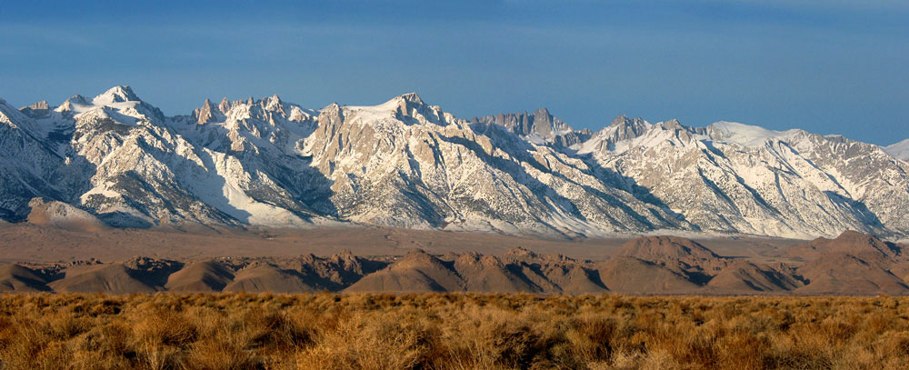
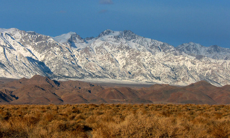
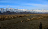
Mount Langley, Lone Pine
Peak and Mount Whitney
from Lone Pine Narrow
Gauge Road |
|
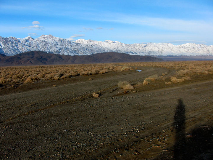
Lone Pine Narrow Gauge
Road and Owenyo Road
(Owenyo Lone Pine Road) |
|
|
 |
|
 |
|
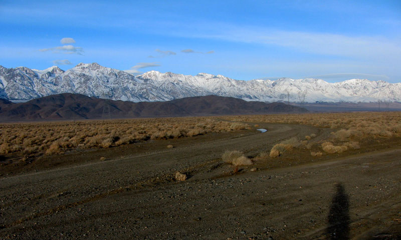
Lone Pine Narrow Gauge Road and Owenyo Road
at Long John Canyon Road junction |
|
|
|
|
| Long John Canyon Road |
|
 |
|
|
 |
|
 |
|
 |
|
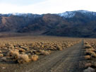
Inyo Mountains and
Long John Canyon Road |
|
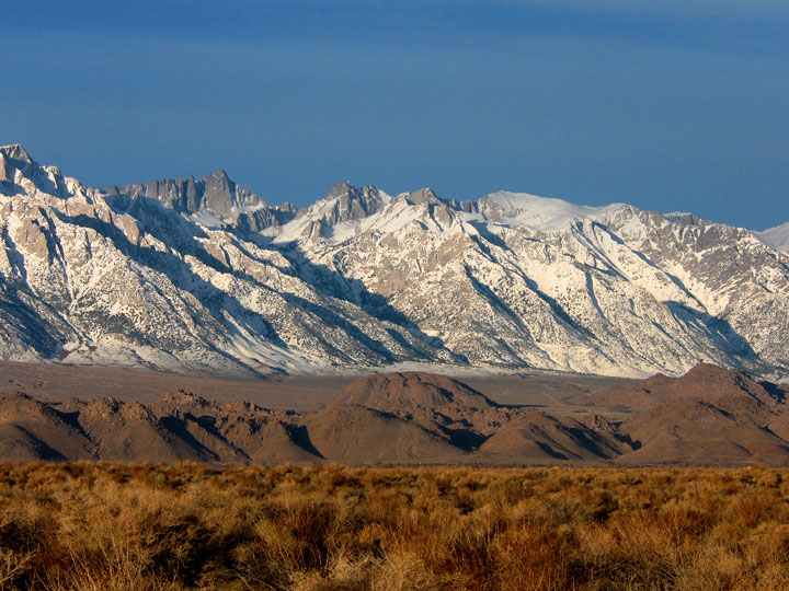
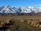
Lone Pine Peak
and Mount Whitney from
Long John Canyon Road |
|
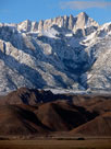
Mount Whitney
from Long John
Canyon Road |
|
|
 |
|
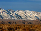
Mt. Langley, Mt. Corcoran, Lone Pine Peak, Mt. Whitney,
Mt. Russell, Mt. Carillon, Tunnabora Peak, Mt. Barnard, Trojan
Peak and Mt. Williamson from Long John Canyon Road |
|
|
|
|
|
|
|
 |
|
 |
|
 |
|
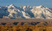
Mount Langley, Mount Corcoran, Lone Pine Peak, Mount Whitney, Mount Russell,
Mount Carillon, Mount Barnard and Mount Williamson from Owenyo Road |
|
|
|
 |
|
 |
|
 |
|
|
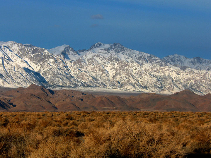
Mount Langley,
Mount Corcoran and
Lone Pine Peak |
|
Mount Whitney,
Mount Russell and
Mount Carillon |
|
Mount Barnard and
Mount Williamson |
|
|
 |
|
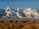
Mount Langley, Mount Corcoran, Lone Pine Peak, Mount
Whitney, Mount Russell, Mount Carillon, Mount Barnard
and Mount Williamson from Owenyo Road |
|
|
 |
|
 |
|
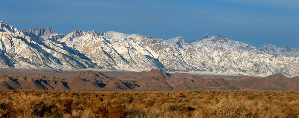
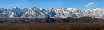
Mount Langley, Mount Corcoran, Lone Pine Peak, Mount Whitney, Mount Russell,
Mount Carillon, Mount Barnard and Mount Williamson from Owenyo Road |
|
|
 |
|
|
|
A mine in Inyo Mountains
from Owenyo Road |
|
|
|
|
|
| Dolomite Loop |
|
|
|
|
 |
|
|
|
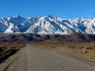
Mount Langley, Lone Pine
Peak, Mount Whitney
and Dolomite Loop
from Owenyo Road |
|
|
|
|
|
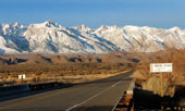
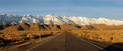
| Highway 136 (California State Route 136) |
|
 |
 |
 |
|
|
 |
|
 |
|
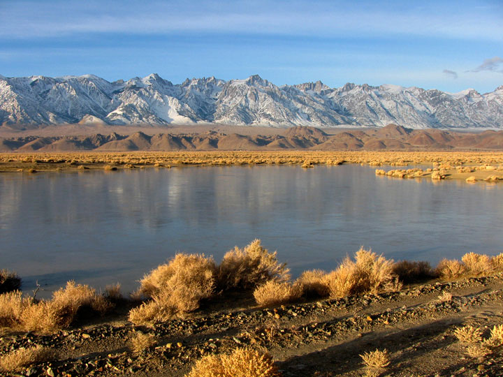
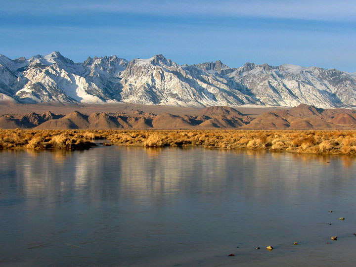
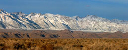
Highway 136 (west)
crossing Owens River |
|
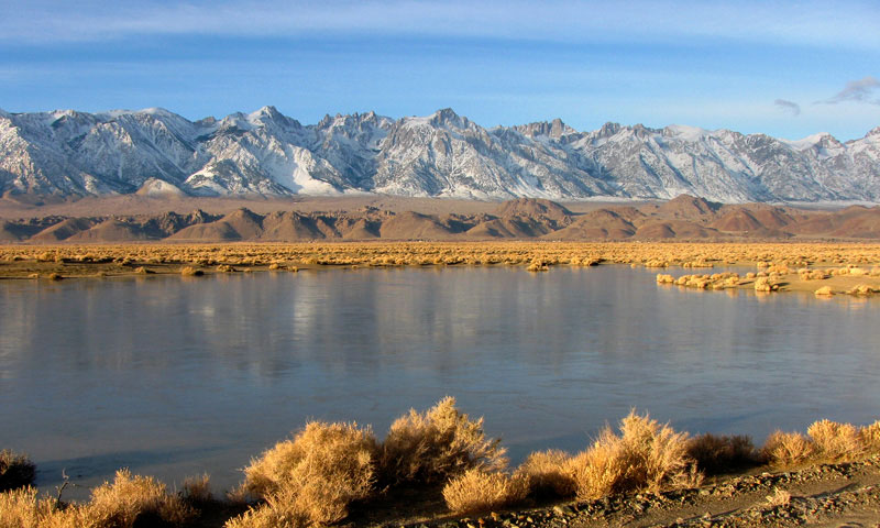
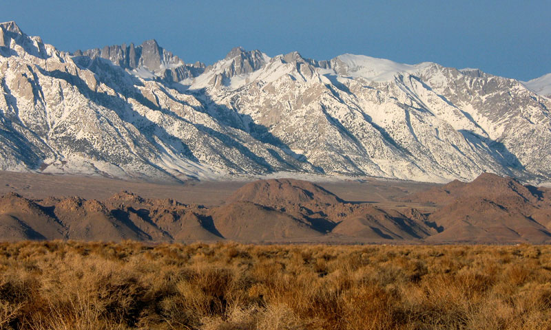
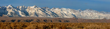
Mt. Langley, Lone Pine Peak, Mt. Whitney, Mt.
Russell and Mt. Williamson from Highway 136 |
|
|
|
|
| Owenyo Road (Owenyo Lone Pine Road) Photos on Web |
|
|
|
|
|