| イースタン・シエラのシーニック・バイウェイ |
 |
| (Scenic Byways of Eastern Sierra) |
 |
|
|
 |
|
 |
|
|
 |
 |
 |
 |
 |
 |
 |
| Little Lake |
|
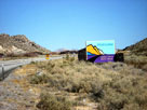
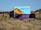
South end of Eastern Sierra Scenic Byway
near Little Lake |
|
 |
|
 |
| Lee Vining Canyon Scenic Byway |
 |
 |
 |
 |
 |
 |
 |
 |
 |
 |
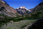
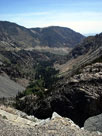
Tioga Peak and Lee Vining
Canyon from Tioga
Pass Road (Lee Vining
Canyon Scenic Byway) |
|
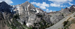
Peak 11,403 (Dana Crest), Lee Vining Canyon
and Tioga Pass Road |
|
 |
 |
 |
 |
 |
 |
 |
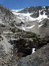
Lee Vining Canyon
and Tioga Pass Rd |
|
Ellery Lake Falls
(head of Lee
Vining Canyon) |
|
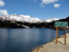
Peak 11,049
and Ellery Lake |
|
 |
|
 |
| Ancient Bristlecone Scenic Byway |
 |
 |
 |
 |
 |
 |
 |
 |
 |
 |
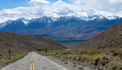
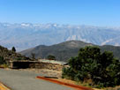
The Palisades from Ancient
Bristlecone Scenic Byway
(CA State Route 168) |
|
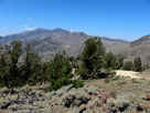
Sierra Nevada Mountains
from Sierra View |
|
Ancient Bristlecone
Scenic Byway (White
Mountain Road) |
|
 |
|
 |
| Death Valley Scenic Byway |
 |
 |
 |
 |
 |
 |
 |
 |
 |
 |
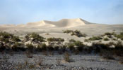
Sand Dunes (Mesquite Flat
Sand Dunes) from Death Valley
Scenic Byway (CA State Route 190) |
|
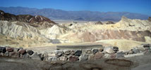
Zabriskie Point |
|
 |
|
 |
|
|
 |
|
 |
| Wild Horse Canyon Back Country Byway |
 |
 |
 |
 |
 |
 |
 |
 |
 |
 |
 |
 |
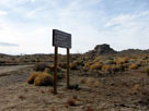
Wild Horse Canyon Road
from Black Canyon Road
(Mojave National Preserve) |
|
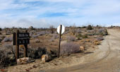
Mid Hills Campground
(Midhills Campground)
entrance from Wild Horse
Canyon Road |
|
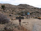
Mid Hills to Hole-in-the-
Wall Trail (south) from
Wild Horse Canyon Road |
|
 |
|
 |
| See also |
 |
|
|
|