| イースタン・シエラのリクリエーション・エリア |
 |
| (Recreation Areas & Sites of Eastern Sierra) |
 |
|
|
 |
|
 |
|
|
 |
 |
 |
 |
 |
 |
 |
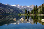
Matterhorn Peak,
Sawtooth Ridge and
Lower Twin Lake |
|
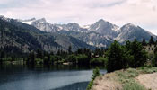
Sawtooth Ridge and
Lower Twin Lake |
|
Upper Twin Lake
and Mono Village |
|
 |
|
 |
| Virginia Lakes Recreation Area |
 |
 |
 |
 |
 |
 |
 |
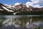
Black Mountain and
Big Virginia Lake
(Virginia Lakes Trailhead) |
|
Black Mountain and
Little Virginia Lake |
|
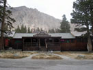
Virginia Lakes Resort
near Little Virginia Lake |
|
 |
|
 |
|
|
 |
|
 |
| June Lake Loop Recreation Area |
 |
 |
 |
 |
 |
 |
 |
|
 |
 |
 |
 |
 |
|
 |
|
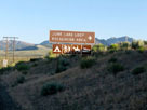
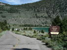
June Lake Loop into
June Lake Loop Recreation
Area off Highway 395 |
|
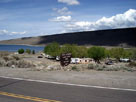
Grant Lake and
Grant Lake Marina |
|
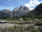
Carson Peak, Silver Lake
Resort RV Park and
Rush Creek Trailhead |
|
|
 |
 |
 |
 |
 |
 |
 |
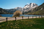
Carson Peak, Silver Lake
and June lake Loop |
|
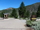
June Lake Beach Road
to June Lake Beach |
|
Oh! Ridge Campground
entrance |
|
 |
|
 |
| Mammoth Lakes Recreation Area |
 |
 |
 |
|
 |
 |
 |
 |
 |
|
 |
|
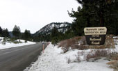
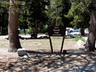
Highway 203 into Mammoth
Lakes Recreation Area |
|
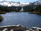
Mammoth Crest and
Twin Lakes from
Twin Lakes Vista |
|
Twin Lakes Campground
from Twin Lakes
Loop Road |
|
|
 |
 |
 |
 |
 |
 |
 |
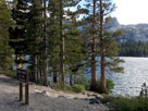
Crystal Crag and Lake
Mary from Lake Mary Rd |
|
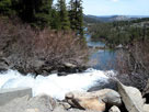
Twin Falls and Twin Lakes
from Lake Mary Road |
|
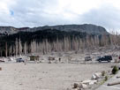
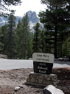
Mammoth Pass Trailhead
near Horseshoe Lake |
|
 |
 |
 |
 |
 |
 |
 |
Crystal Crag & Lake
Mary Capmground
entrance |
|
Cold Water Campground
entrance off Lake
Mary Loop Road |
|
Duck Pass Trailhead in
Cold Water Campground |
|
 |
|
 |
|
|
 |
 |
 |
 |
 |
 |
 |
Lake George and
Lake George Boating Site
(Lake George Boat Landing) |
|
T.J.-Barrett Lakes Trailhead
(Lake George Picnic Site) |
|
Lake George
Campground entrance
(Lake George Roadend) |
|
 |
|
 |
| Convict Lake Recreation Area |
 |
 |
 |
 |
 |
 |
 |
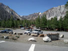
Convict Lake Road
into Convict Lake
Recreation Area |
|
Mono Jim Peak and
Mount Morrison from
Convict Creek Trailhead |
|
Convict Lake Resort
from Convict Lake Road |
|
 |
 |
 |
 |
 |
 |
 |
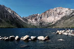
Laurel Mountain, Convict
Canyon and Convict Lake |
|
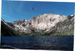
Laurel Mountain, Convict
Canyon and Convict Lake
from Convict Lake Picnic
Area (Convict Lake Roadend) |
|
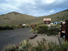
Convict Lake
Campground entrance
off Convict Lake Road |
|
 |
|
 |
|
|
 |
|
 |
| Rock Creek Recreation Area |
 |
 |
 |
 |
 |
 |
 |
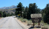
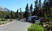
Rock Creek Road into
Rock Creek Recreation Area |
|
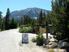
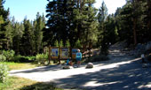
Rock Creek Lakes
Resort entrance and
Rock Creek Road |
|
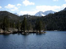
Bear Creek Spire
and Rock Creek Lake |
|
 |
 |
 |
 |
 |
 |
 |
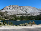
Wheeler Crest and
Rock Creek Lake from
Rock Creek Road |
|
Mosquito Flat
(Rock Creek Roadend) |
|
Little Lakes Valley Trailhead
(Mono Pass Trailhead) |
|
 |
|
 |
|
|
 |
|
 |
| Bishop Creek Recreation Area |
 |
 |
 |
 |
 |
|
 |
 |
 |
 |
 |
|
 |
|
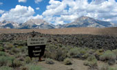
Mt. Humphreys, Basin Mountain
and Mt. Tom from Highway 168 |
|
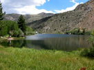
Bishop Creek 104-033
Dam and Intake II
from Intake 2 Picnic Site |
|
Highway 168 and
North Lake Road (Sabrina
Basin Hiker Parking) |
|
|
 |
 |
 |
 |
 |
 |
 |
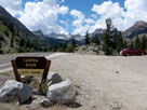
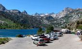
Lake Sabrina
(Lake Sabrina Roadend) |
|
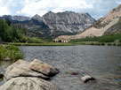
Piute Crags
and North Lake |
|
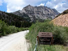
North Lake Road into
North Lake Campground |
|
 |
|
 |
| South Lake Recreational Area |
 |
 |
 |
 |
 |
 |
 |
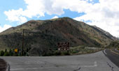
South Lake Road into
South Lake Recreational Area
and Highway 168 |
|
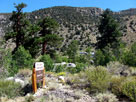
Four Jeffrey Campground
from South Lake Road |
|
Tyee Lakes Trailhead
off South Lake Road |
|
 |
 |
 |
 |
 |
 |
 |
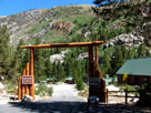
Parchers Resort entrance
from South Lake Road |
|
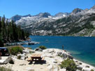
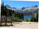
Mt. Gilbert and South Lake
(South Lake Picnic Area) |
|
Bishop Pass Trailhead
(South Lake Roadend) |
|
 |
|
 |
|
|
 |
|
 |
| Big Pine Creek Recreation Area |
 |
 |
 |
 |
 |
 |
 |
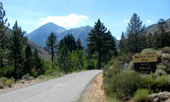
Glacier Lodge Road into Big
Pine Creek Recreation Area |
|
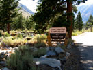
Upper Sage Flat
Campground entrance
from Glacier Lodge Road |
|
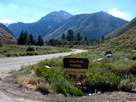
Mt. Gayley(?), Mt. Alice(?)
and Glacier Lodge Road |
|
 |
 |
 |
 |
 |
 |
 |
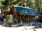
| Glacier Lodge |
|
Big Pine Creek
Campground entrance |
|
Big Pine Creek Trailhead
(Big Pine Creek South
Fork Trailhead) |
|
 |
|
 |
|
|
 |
|
 |
|
|
 |
 |
 |
 |
 |
 |
 |
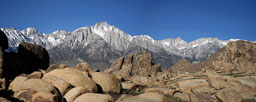
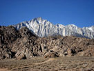
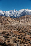
Mount Langley, Lone Pine Peak and
Mount Whitney from Alabama Hills |
|
Lone Pine Peak
from Movie Road |
|
Mount Whitney |
|
 |
|
 |
|
|
 |
|
 |
| Whitney Portal Recreation Area |
 |
 |
 |
|
 |
 |
 |
 |
 |
|
 |
|
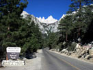
Whitney Portal Road
into Whitney Portal
Recreation Area |
|
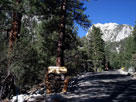
Whitney Portal Campground
(Mt. Whitney Family
Campground) entrance |
|
Mount Whitney
Trailhead |
|
|
 |
|
 |
|
|
 |
|
 |
|
|
 |
|
 |
| See also |
 |
|
|
|