| Mojave National Preserve |
 |
| Albums of photos from a scenic driving and back country driving trip to Mojave National Preserve in California (December 2010). |
|
 |
|
|
 |
|
|
 |
|
 |
|
|
 |
 |
 |
 |
 |
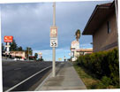
National Trails Highway
(Historic Route 66),
Barstow |
|
|
 |
|
 |
|
|
 |
 |
 |
 |
 |
Highway 40 and
Hector Road from
National Trails Highway |
|
Highway 40 (east)
near Kelbaker Road exit |
|
 |
|
 |
|
|
 |
 |
 |
 |
 |
Highway 40 (east) near
Kelbaker Road junction |
|
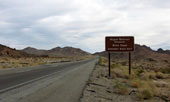
Kelbaker Road entering
Mojave National Preserve |
|
 |
|
 |
|
|
 |
|
 |
|
|
 |
 |
 |
 |
 |
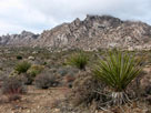
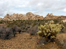
Granite Mountains (Granite Mountains Natural
Reserve) from Kelbaker Road |
|
 |
|
 |
|
|
 |
|
 |
|
|
 |
 |
 |
 |
 |
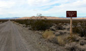
Kelso Dunes from Kelso Dunes
Road off Kelbaker Road |
|
|
 |
|
 |
|
|
 |
 |
 |
 |
 |
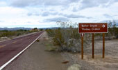
| Kelbaker Road entering Kelso |
|
|
 |
|
 |
|
|
 |
 |
 |
 |
 |
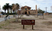
| Kelso Depot Visitor Center off Kelso Cima Road |
|
 |
|
 |
|
|
 |
|
 |
|
|
 |
 |
 |
 |
 |
Kelso Depot
Visitor Center |
|
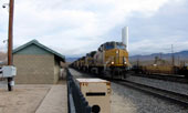
Union Pacific Railroad from
Kelso Depot Visitor Center |
|
 |
|
 |
|
|
 |
 |
 |
 |
 |
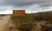
Kelso Cima Road
near Cedar Canyon Road
(Mojave Road) junction |
|
|
 |
|
 |
|
|
 |
 |
 |
 |
 |
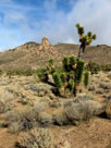
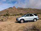
| Mid Hills from Cedar Canyon Road (Mojave Road) |
|
 |
|
 |
|
|
 |
 |
 |
 |
 |
Cedar Canyon Road (Mojave Road)
near Black Canyon Road junction |
|
|
 |
|
 |
|
|
 |
|
 |
|
|
 |
 |
 |
 |
 |
Mid Hills Campground (Midhills
Campground) entrance from
Wild Horse Canyon Road |
|
Mid Hills Campground |
|
 |
|
 |
|
|
 |
|
 |
|
|
 |
 |
 |
 |
 |
 |
 |
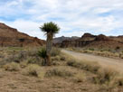
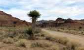
Mid Hills to HITW
Trail (north) from
Wild Horse Road |
|
Wild Horse Canyon, Wild Horse Mesa (?) and
Wild Horse Road (Wild Horse Canyon Road) |
|
 |
|
 |
|
|
 |
 |
 |
 |
 |
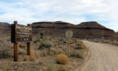
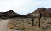
Black Canyon Equestrian &
Group Campground (Hole In
The Wall Fire Center) entrance
from Black Canyon Road |
|
|
 |
|
 |
|
|
 |
 |
 |
 |
 |
 |
 |
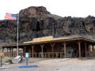
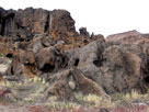
Hole In The Wall Visitor Center
entrance from Black Canyon Road |
|
Hole In The Wall Visitor
Center (Hole-in-the-Wall
Information Center) |
|
|
 |
|
 |
|
|
 |
|
 |
|
|
 |
 |
 |
 |
 |
 |
 |
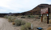
Hole In The Wall
Campground entrance
from Black Canyon Road |
|
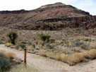
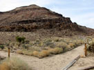
Hole In The Wall Campground
(Hole-in-the-Wall Campground) |
|
 |
|
 |
|
|
 |
 |
 |
 |
 |
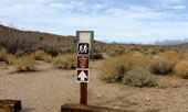
Baber Peak Loop Trail from
Hole In The Wall Campground |
|
|
 |
|
 |
|
|
 |
 |
 |
 |
 |
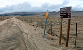
Mid Hills and Black Canyon
Road (north) from Wild
Horse Canyon Road junction |
|
|
 |
|
 |
|
|
 |
 |
 |
 |
 |
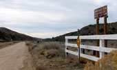
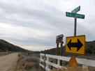
Cedar Canyon and Cedar Canyon Road (Mojave Road)
from Black Canyon Road junction |
|
 |
 |
 |
 |
 |
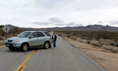
Mid Hills and
Cedar Canyon Road (east) |
|
|
 |
|
 |
|
|
 |
 |
 |
 |
 |
 |
 |
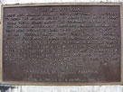
| Mojave Road (west) from Kelso Cima Road |
|
|
 |
|
 |
|
|
 |
 |
 |
 |
 |
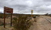
Kelso Cima Road
from Cedar Canyon Road
(Mojave Road) junction |
|
|
 |
|
 |
|
|
 |
|
 |
|
|
 |
|
 |
|
|
 |
 |
 |
 |
 |
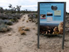
Teutonia Peak Trailhead
off Cima Road |
|
Teutonia Peak and
Teutonia Peak Trail |
|
 |
|
 |
|
|
 |
|
 |
|
|
 |
|
 |
|
|
 |
 |
 |
 |
 |
| Highway 127 (Death Valley Road) at Ibex Pass |
|
 |
|
 |
|
|