| サウス・レイク・リクリエーショナル・エリア |
 |
| (South Lake Recreational Area) |
 |
|
|
 |
|
 |
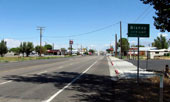
| Bishop - Highway 395 (U.S. Route 395) |
 |
 |
 |
 |
 |
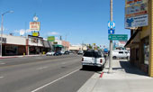
| South Main Street (U.S. 395 north, CA 168 west), Bishop |
|
 |
|
 |
| Highway 168 (California State Route 168) |
 |
 |
 |
 |
 |
 |
 |
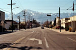
Mount Tom and West Line
Street (CA 168 west)
off Highway 395, Bishop |
|
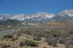
Mount Humphreys
and Highway 168 |
|
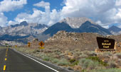
Highway 168 into
Inyo National Forest |
|
 |
|
 |
| Inyo National Forest |
 |
 |
 |
 |
 |
 |
 |
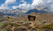
Mount Humphreys and Basin
Mountain from Highway 168 |
|
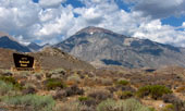
Mount Tom
from Highway 168 |
|
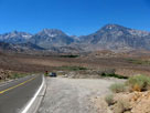
Vista point along
Highway 168 (east) |
|
 |
|
 |
|
|
 |
|
 |
|
|
 |
|
 |
|
|
 |
|
 |
|
|
 |
|
 |
|
|
 |
|
 |
|
|
 |
|
 |
|
|
 |
|
 |
|
|
 |
|
 |
|
|
 |
|
 |
|
|
 |
|
 |
|
|
 |
|
 |
|
|
 |
|
 |
|
|
 |
|
 |
|
|
 |
|
 |
|
|
 |
|
 |
|
|
 |
|
 |
|
|
 |
|
 |
| Weir Lake |
 |
 |
 |
 |
 |
|
 |
 |
 |
|
 |
|
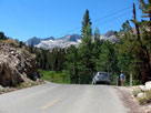
South Lake Road
below Weir Lake |
|
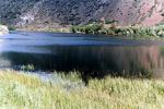
Weir Lake |
|
|
 |
|
 |
|
|
 |
|
 |
| サウス・レイク (South Lake) |
 |
 |
 |
 |
 |
|
 |
 |
 |
|
 |
|
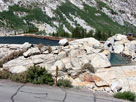
South Lake,
Hillside 104-030 Dam
and South Lake Road |
|
South Lake from Hillside 104-030 Dam |
|
|
 |
 |
 |
 |
 |
 |
 |
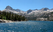
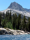
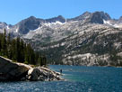
Hurd Peak, Mount Gilbert
and South Lake from
Hillside 104-030 Dam |
|
Hurd Peak |
|
Mount Gilbert |
|
 |
|
 |
|
|
 |
|
 |
|
|
 |
|
 |
|
|
 |
 |
 |
 |
 |
 |
 |
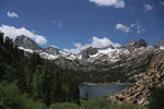
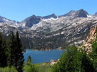
Hurd Peak, Mt. Johnson,
Mt. Gilbert and South Lake
from Bishop Pass Trailhead |
|
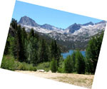
Hurd Peak, Mt. Johnson
and South Lake |
|
Mount Gilbert
and South Lake |
|
 |
|
 |
|
|
 |
|
 |
| Treasure Lakes Trail |
 |
 |
 |
 |
 |
 |
 |
 |
 |
|
 |
 |
 |
 |
 |
|
 |
|
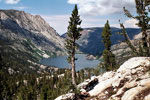
South Lake from
Treasure Lakes Trail |
|
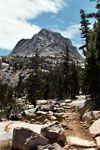
Hurd Paeak and
Treasure Lakes Trail |
|
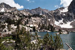
Mt. Goode and Mt. Johnson
from Lake 10,668
(Lowest Treasure Lake) |
|
|
 |
|
 |
| South Lake Recreational Area の写真 ON WEB |
 |
|
|
|