| シエラ・ネバダのキャンプグラウンド |
 |
| (Campgrounds of Sierra Nevada) |
 |
| Original photo collection of sceneries in and around Campgrounds (Camp Grounds, Campsites, Camping Sites), located in western and eastern slopes of Sierra Nevada Mountains (Sierra Nevada) (California/Nevada, USA). |
|
 |
|
 |
|
|
 |
|
 |
|
|
 |
|
 |
|
|
 |
|
 |
|
|
 |
 |
 |
 |
 |
 |
 |
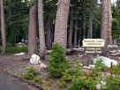
Mosquito Lakes
Campground |
|
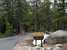
Pacific Valley
Campground |
|
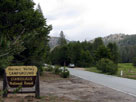
Hermit Valley
Campground |
|
 |
|
 |
|
|
 |
 |
 |
 |
 |
 |
 |
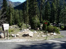
| Boulder Flat Campground |
|
Brightman Flat
Campground |
|
Dardanelle Campground |
|
 |
 |
 |
 |
 |
| Pigeon Flat Campground |
|
Eureka Valley
Campground |
|
 |
 |
 |
 |
 |
| Baker Campground |
|
Deadman Campground |
|
 |
|
 |
|
|
 |
|
 |
|
|
 |
|
 |
|
|
 |
 |
 |
 |
 |
 |
 |
Crags Campground
entrance off Twin
Lakes Road |
|
Matterhorn Loop
and Sawtooth Loop,
Crags Campground |
|
Twinlakes Campground
(Lower Twin Lake
Campground) |
|
 |
|
 |
| Yosemite National Park |
 |
 |
 |
 |
 |
 |
 |
 |
 |
 |
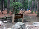
| Upper Pines Campground |
|
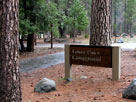
Lower Pines Campground |
|
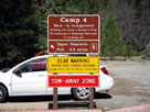
Camp 4 Walk-In
Campground entrance
off Northside Drive |
|
 |
 |
 |
 |
 |
 |
 |
Bridalveil Creek
Campground off Glacier
Point Road |
|
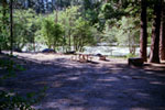
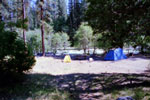
Wawona Campground and South Fork Merced River |
|
 |
 |
 |
 |
 |
 |
 |
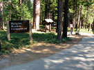
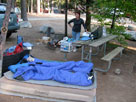
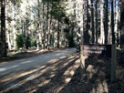
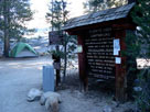
Hodgdon Meadow
Campground entrance
off Tuolumne Grove Road |
|
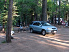
Hodgdon Meadow Campground |
|
 |
 |
 |
 |
 |
 |
 |
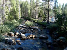
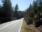
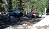
Yosemite Creek
Campground entrance
(Old Tioga Roadend) |
|
Yosemite Creek Campground along Yosemite Creek |
|
 |
 |
 |
 |
 |
 |
 |
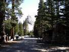
Porcupine Flat Campground
entrance from Tioga Road |
|
Porcupine Flat Campground |
|
Lembert Dome and
Tuolumne Meadows
Camground Office |
|
 |
|
 |
|
|
 |
|
 |
|
|
 |
|
 |
|
|
 |
|
 |
|
|
 |
|
 |
|
|
 |
|
 |
|
|
 |
|
 |
|
|
 |
|
 |
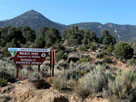
| Walker Pass Campground |
 |
 |
 |
 |
 |
 |
 |
 |
 |
 |
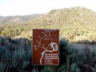
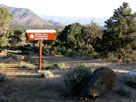
Walker Pass Campground
entrance off Highway 178 |
|
Walker Pass Campground and Pacific Crest Trail |
|
 |
|
 |
|
|
 |
|
 |
| Inyo National Forest along Minaret Summit Road |
 |
 |
 |
 |
 |
 |
 |
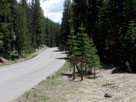
Agnew Meadows
Campground at Agnew
Meadows Roadend off
Minaret Summit Road |
|
Upper Soda Springs
Campground entrance
from Minaret Summit Road |
|
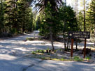
Pumice Flat Campground
entrance |
|
 |
 |
 |
 |
 |
Minaret Falls
Campground entrance
from Minaret Summit Road |
|
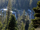
Minaret Falls from
Minaret Falls Campground |
|
 |
|
 |
| Reds Meadow Campground |
 |
 |
 |
 |
 |
 |
 |
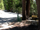
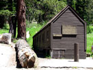
Reds Meadow
Campground entrance
off Minaret Summit Road |
|
Red's Meadow Bath House
in Reds Meadow
Campground |
|
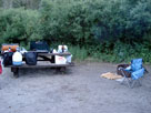
Reds Meadow
Campground |
|
 |
|
 |
| Eastern Sierra Campgrounds [Photo Galleries] |
 |
 |
 |
 |
 |
 |
 |
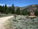
Sonora Bridge
Campground entrance
from Highway 108 |
|
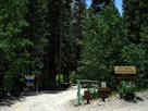
Crags Campground |
|
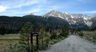
Lower Lee Vining Campground
entrance off Highway 120 |
|
 |
 |
 |
 |
 |
 |
 |
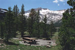
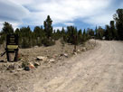
Big Bend Campground
entrance from Poole
Power Plant Road |
|
Mt. Conness (southeast peak)
from Sawmill Campground |
|
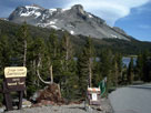
Saddlebag Lake
Campground |
|
 |
 |
 |
 |
 |
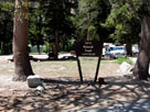 |
 |
Mount Dana and
Tioga Lake Campground
entrance off Highway 120 |
|
Carson Peak and
Oh! Ridge Campground |
|
Twin Lakes Campground
from Twin Lakes Loop Rd |
|
 |
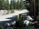 |
 |
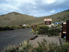 |
 |
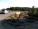 |
 |
Cold Water Campground
entrance from Around Lake
Mary Road |
|
Convict Lake
Campground entrance |
|
Grandview Campground
entrance from White
Mountain Road |
|
 |
 |
 |
 |
 |
 |
 |
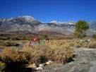
Goodale Mountain and
Goodale Creek
Campground |
|
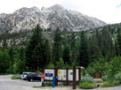
Independence Peak,
Robinson Lake Falls and
Onion Valley Campground |
|
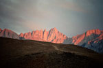
Mount Whitney from
Portagee Joe Campground |
|
 |
 |
 |
 |
 |
 |
 |
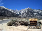
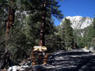
Mount Whitney from Lone
Pine Campground entrance
off Whitney Portal Road |
|
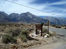
Thor Peak, Whitney Portal
Campground entrance
and Whitney Portal Road |
|
Lone Pine Peak and
Tuttle Creek Campground
entrance from Horseshoe
Meadows Road |
|
 |
|
 |
| シエラ・ネバダのキャンプグラウンドの写真 ON WEB |
 |
| 写真 |
|
|
| Photo Galleries |
|
 |
|
| Photos |
 |
 |
 |
 |
 |
 |
 |
 |
 |
 |
|
|