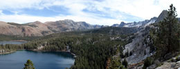
| シエラ・ネバダのトレイル |
 |
| (Trails of Sierra Nevada) |
|
|
|
|
|
|
|
|
|
|
|
| パシフィック・クレスト・トレイル (Pacific Crest Trail) |
|
 |
|
 |
|
 |
|
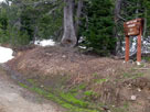
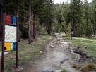
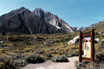
Ebbetts Pass Trailhead
off Highway 4 |
|
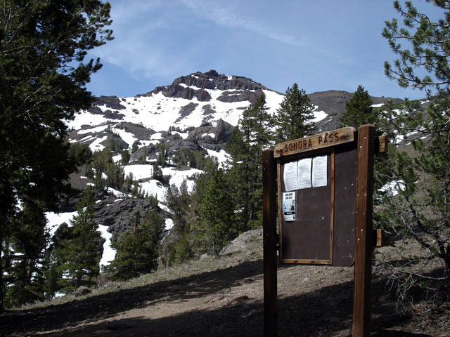
Paicific Crest Trail (north)
at Sonora Pass |
|
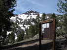
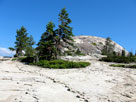
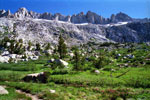
Paicific Crest Peak (Peak
11,245) and Paicific Crest
Trail (south) at Sonora Pass |
|
|
|
|
| Saint Mary's Pass Trail (St. Marys Pass Trail) |
|
 |
|
 |
|
|
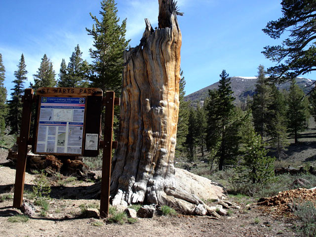
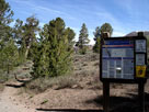
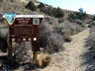
St. Mary's Pass Trailhead
off Highway 108 |
|
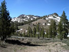
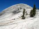
Paicific Crest Peak
(Peak 11,245) and Highway
108 from Saint Mary's
Pass Trailhead |
|
|
|
|
|
|
|
|
|
|
|
|
|
 |
|
 |
|
 |
|
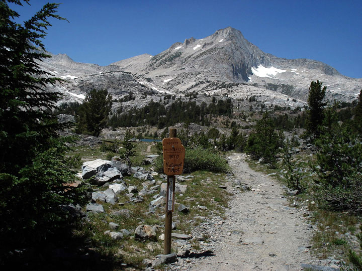
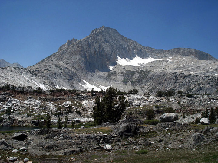
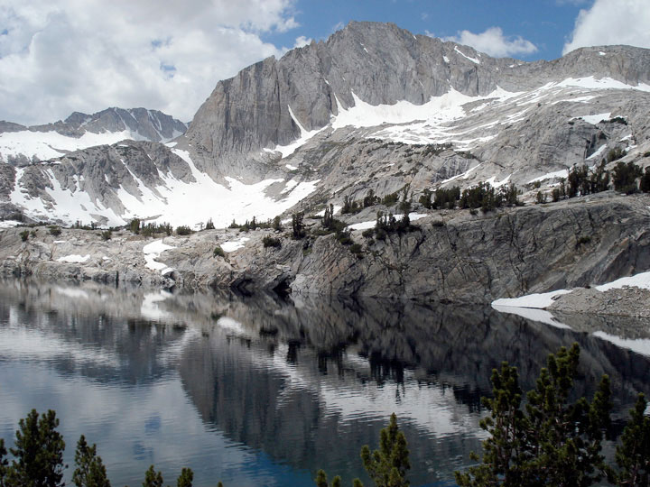
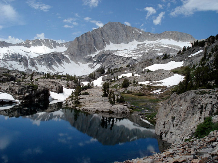
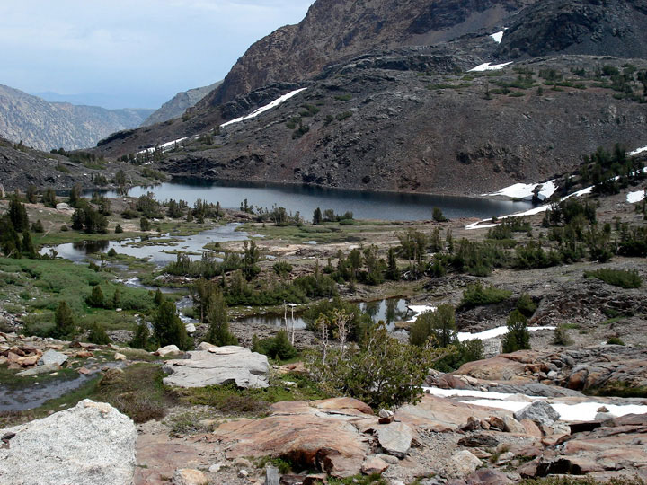
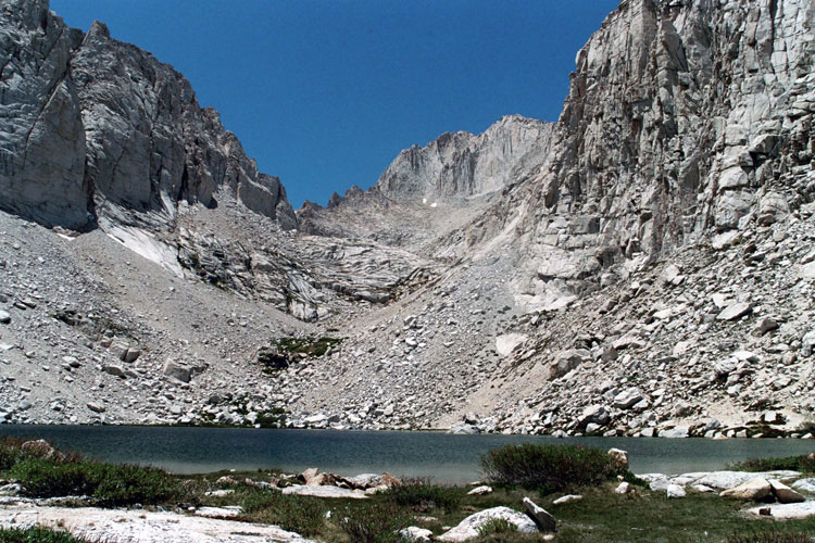
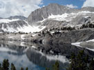
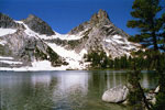
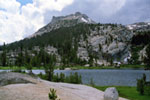
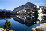
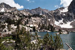
North Peak and
Steelhead Lake |
|
North Peak and
Shamrock Lake |
|
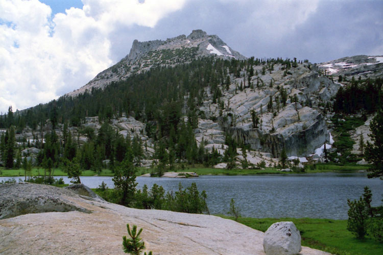
Lake Helen |
|
|
|
|
| Yosemite National Park [Photo Galleries] |
|
 |
|
 |
|
 |
|
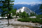
Half Dome summit
and Half Dome Cable |
|
North Dome from
North Dome Trail |
|
Sentinel Dome from
Sentinel Dome Trail |
|
|
 |
|
 |
|
 |
|
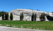
Fairview Dome from
Fairview Dome Trail |
|
Pothole Dome from Tioga Road
(Pothole Dome Trailhead) |
|
Unicorn Peak and
Lembert Dome summit |
|
|
 |
|
 |
|
 |
|
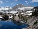
Cathedral Peak and Budd
Lake from Budd Lake Trail |
|
Ragged Peak and
Lower Young Lake along
Young Lakes Trail |
|
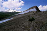
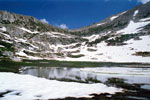
Pass 11,400+ and
Lake 10,560+ from
Mount Conness Trail |
|
|
 |
|
 |
|
 |
|
Gaylor Lakes Trailhead
at Tioga Pass |
|
Peak 11,409 and Mount
Dana from Tioga Pass |
|
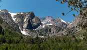
Sawtooth Ridge
from Burro Pass Trail |
|
|
|
|
| パシフィック・クレスト・トレイル (Pacific Crest Trail) |
|
 |
|
 |
|
 |
|
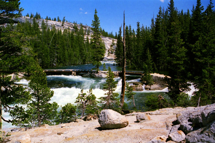
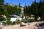
Tahoe-Yosemite
Trail under water
near Glen Aulin |
|
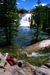
Tuolumne River and
Paicific Crest Trail |
|
Paicific Crest Trail
(Glen Aulin Trail)
at Tuolumne Meadows |
|
|
|
|
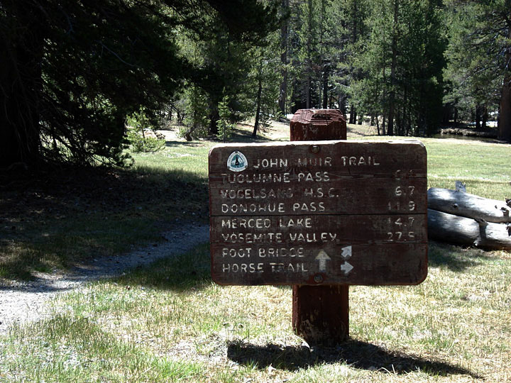
| ジョン・ミュア・トレイル (ジョン・ミューア・トレイル、John Muir Trail) |
|
 |
|
 |
|
 |
|
|
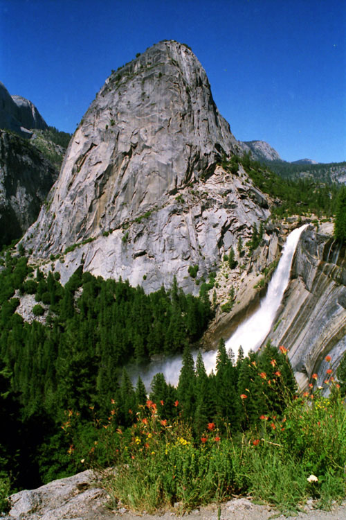
Liberty Cap and
Nevada Fall from
John Muir Trail |
|
Tresidder Peak and
Upper Cathedral Lake
from John Muir Trail |
|
John Muir Trail
(Lyell Canyon Trail)
at Tuolumne Meadows |
|
|
|
|
|
|
|
|
|
|
|
|
|
|
|
|
|
|
|
|
|
|
|
|
|
|
|
|
|
|
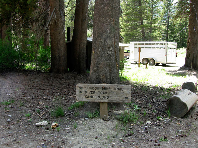
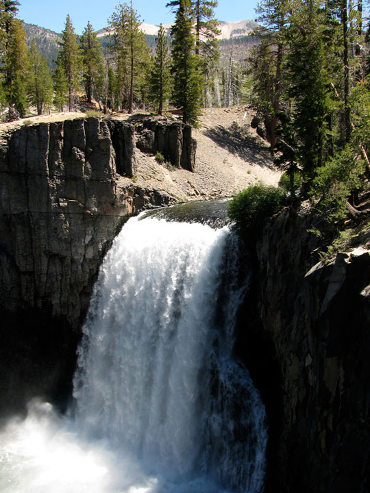
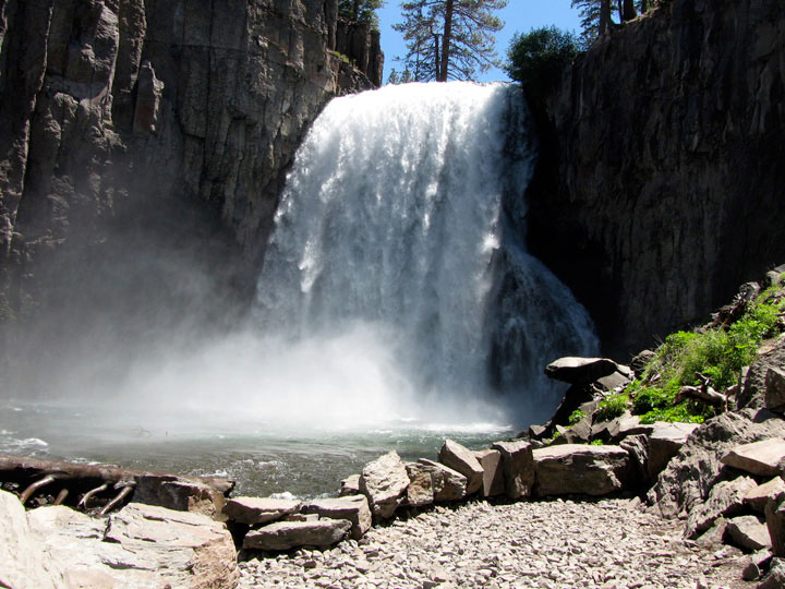
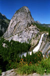
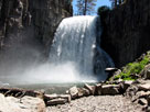
| Rainbow Falls Trail |
|
 |
|
 |
|
 |
|
The Buttresses from
Rainbow Falls Trail |
|
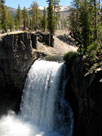
Rainbow Falls
(1st Viewpoint) |
|
Rainbow Falls
(3rd Viewpoint) |
|
|
|
|
|
|
|
|
|
|
|
|
|
|
|
|
|
|
|
|
|
|
|
|
| Eastern Sierra [Photo Galleries] |
|
 |
|
 |
|
 |
|
Crown Point and Peeler Lake
from Peeler Lake Trail |
|
Blacksmith Peak and
Snow Lake from
Rock Island Pass Trail |
|
Black Mountain and
Big Virginia Lake
(Virginia Lakes Trailhead) |
|
|
 |
|
 |
|
Lake Mary, Lake George, Mammoth Crest
and Crystal Crag from Crystal Lake Trail |
|
Mount Morrison from
Convict Canyon Trailhead |
|
|
 |
|
 |
|
 |
|
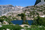
Bear Creek Spire,
Mt. Dade, Mt. Abbot
and Ruby Lake
from Mono Pass Trail |
|
Piute Pass and Piute Lake
from Piute Pass Trail |
|
Mt. Goode, Mt. Johnson
and Lowest Treasure Lake |
|
|
 |
|
 |
|
 |
|
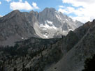
Middle Palisade
from North Fork Trail |
|
Bear Creek Spire,
Mt. Dade, Mt. Abbot
and Ruby Lake
from Mono Pass Trail |
|
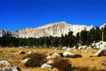
Mount Langley from
Cottonwood Lakes Trail |
|
|
|
|
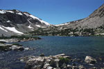
| Bishop Pass Trail |
|
 |
|
 |
|
 |
|
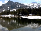
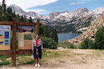
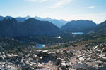
South Lake and
Bishop Pass Trailhead |
|
Hurd Peak, Mt. Johnson,
Mt. Gilbert, Mt. Thompson
and South Lake
from Bishop Pass Trail |
|
Treasure Lakes
Trail junction |
|
|
|
|
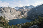
| Kearsarge Pass Trail |
|
 |
|
 |
|
 |
|
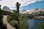
Gilbert Lake from
Kearsarge Pass Trail |
|
Nameless Pyramid
from Kearsarge Pass Trail |
|
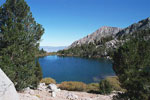
Kearsarge Pinnacles
and Kearsarge Lakes
(Kings Canyon Nat'l Park)
from Kearsarge Pass |
|
|
|
|
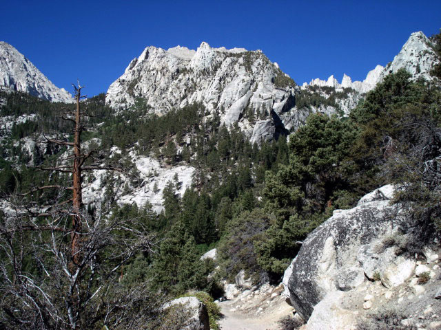
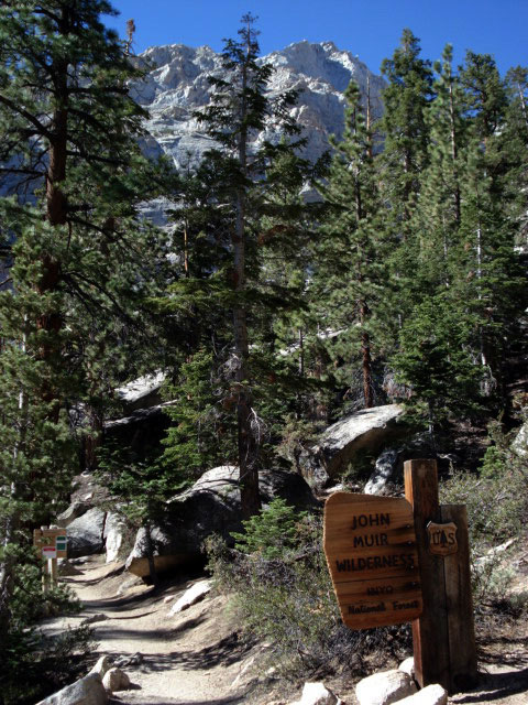
| Mount Whitney Trail |
|
 |
|
 |
|
 |
|
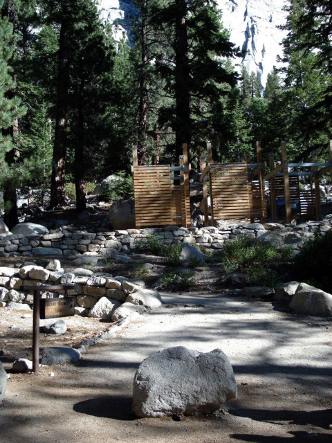
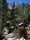
Mount Whitney
Trailhead,
Whitney Portal |
|
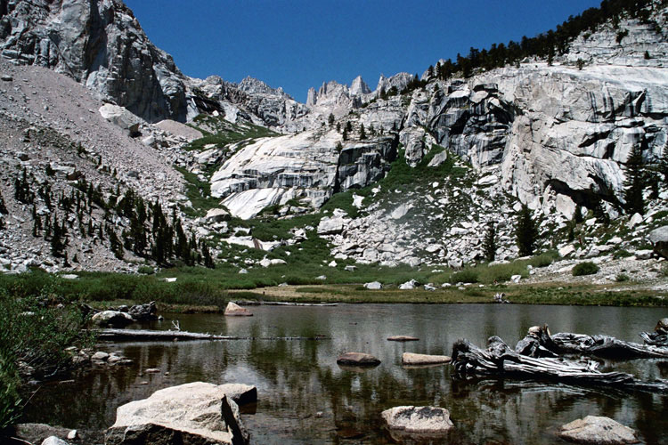
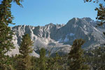
Thor Peak,
Day Needle, Keeler Needle
and Mount Whitney |
|
Mt. Whitney Trail
to Mount Whitney |
|
|
|
|
|
|
|
|
|
|
|
|
 |
|
 |
|
 |
|
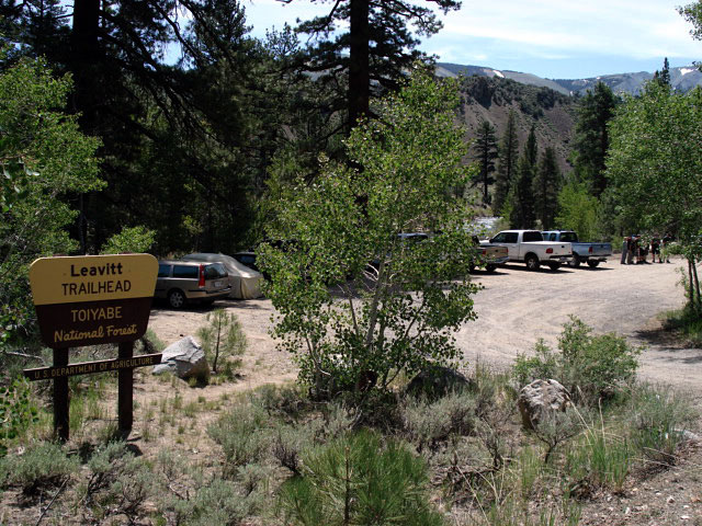
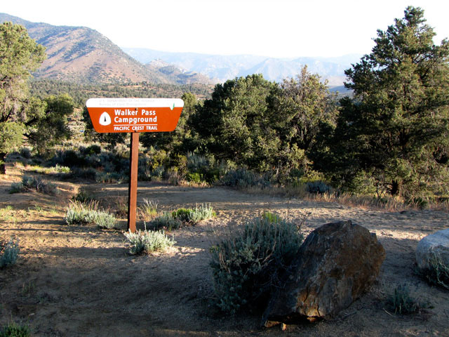
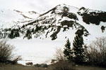
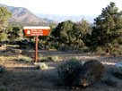
Paicific Crest Trail (north)
at Walker Pass |
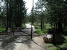
|
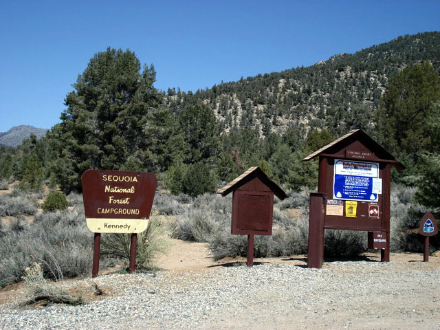
Walker Pass Campground
and Paicific Crest Trail |
|
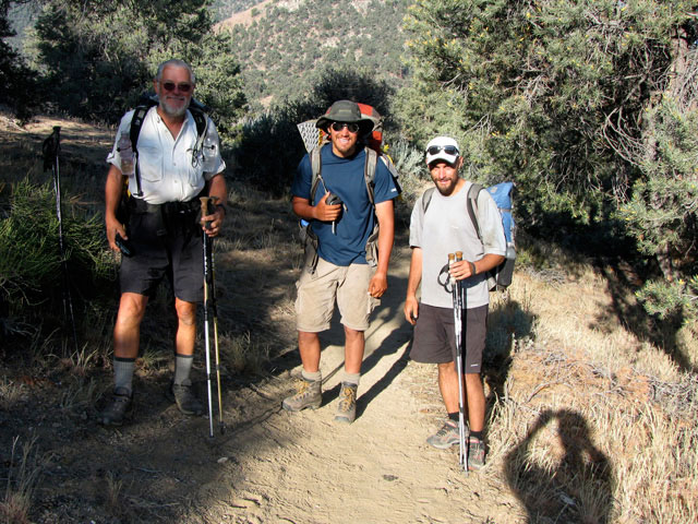
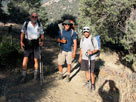
Paicific Crest Trail hikers
met at Walker Pass
Campground |
|