| シエラ・ネバダのハイウェイ |
 |
| (Highways of Sierra Nevada) |
|
| Original photo collections of sceneries along Highways (U.S. Routes and State Routes) running in, around and across Sierra Nevada Mountains (California/Nevada, USA). |
|
|
|
|
|
|
|
|
|
|
|
|
|
|
| Highway 395 (U.S. Route 395) |
|
 |
|
 |
|
 |
|
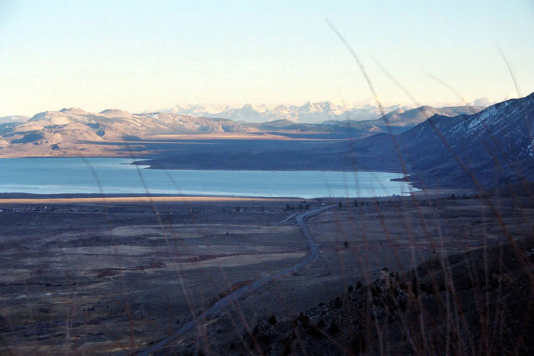
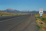
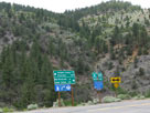
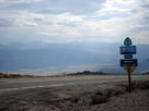
Mono Lake and Highway 395
from Mono Lake Vista
near Conway Summit |
|
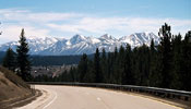
Mt. Morrison, Laurel Mountain
and Highway 395 (south) |
|
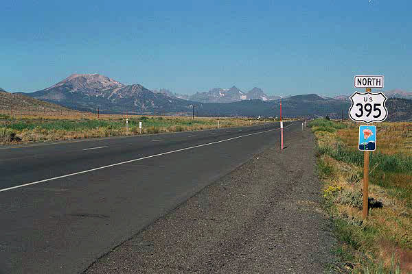
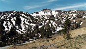
Mammoth Mountain,
Ritter Range and
Highway 395 (north) |
|
|
|
|
| Highway 49 (California State Route 49) |
|
| Forthcoming... |
|
|
|
|
| Highway 89 (California State Route 89) |
|
 |
|
 |
|
 |
|
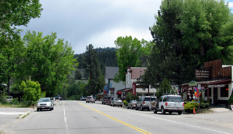
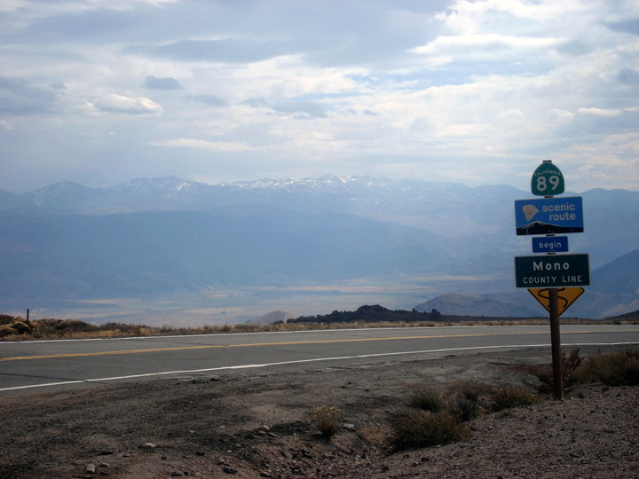
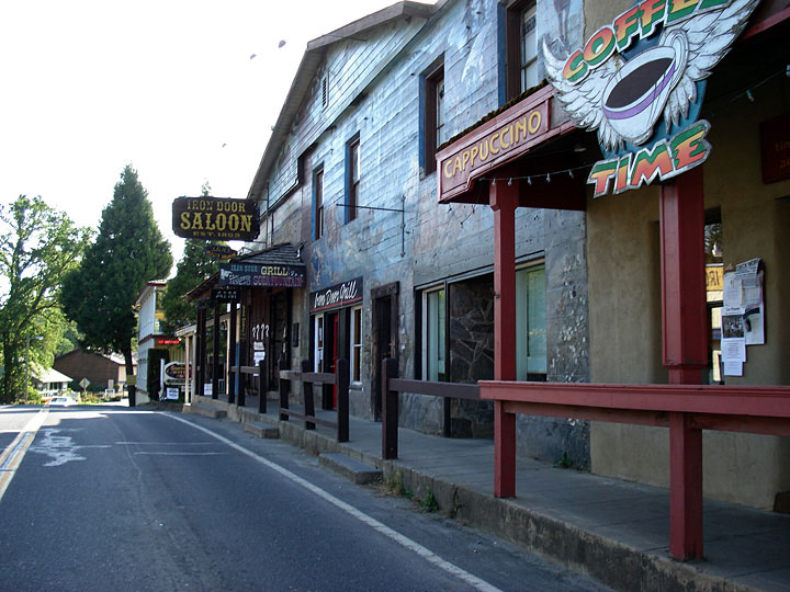
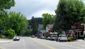
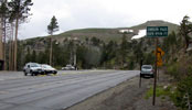
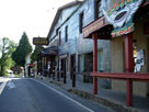
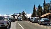
Markleeville and
Highway 89 (south) |
|
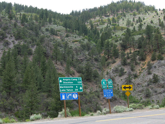
Highway 4 junction |
|
Antelope Valley and
Highway 89 (south) from
near Monitor Pass |
|
|
|
|
| Highway 88 (California State Route 88) |
|
 |
|
 |
|
 |
|
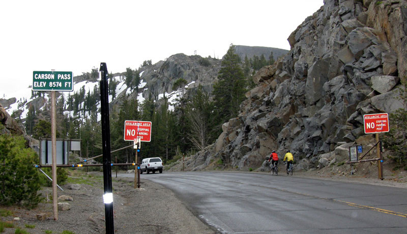
Carson Pass and
Highway 88 (east) |
|
Carson Pass and
Highway 88 (west) |
|
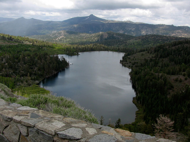
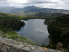
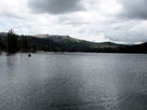
Red Lake from
Highway 88 |
|
|
|
|
| Highway 4 (California State Route 4) |
|
 |
|
 |
|
 |
|
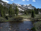
| Lake Alpine |
|
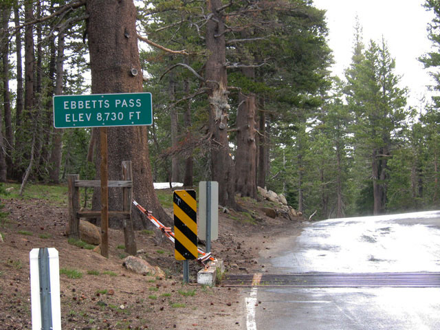
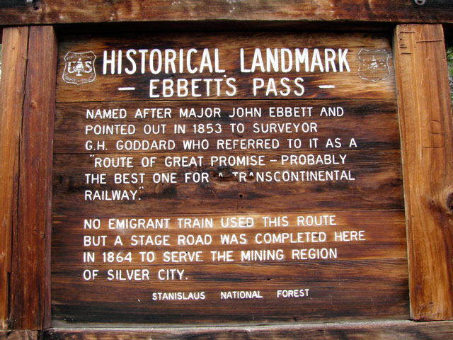
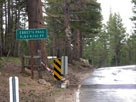
Ebbetts Pass and
Highway 4 (east) |
|
|
|
|
|
| Highway 108 (California State Route 108) |
|
 |
|
 |
|
 |
|
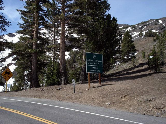
Sonora Pass and
Highway 108 (east) |
|
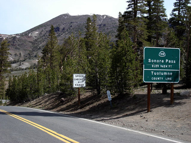
Sonora Pass and
Highway 108 (west) |
|
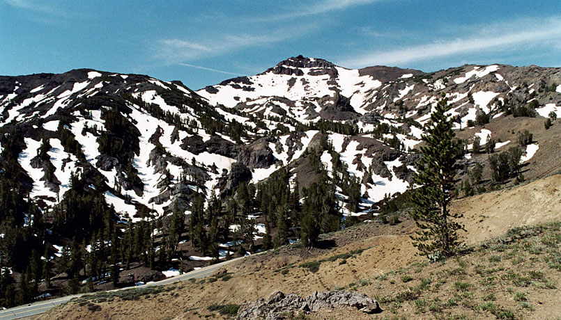
Pacific Crest Peak (Peak 11,245)
and Highway 108 from
above Sonora Pass |
|
|
|
|
| Highway 120 (California State Route 120) Eastbound |
|
 |
|
 |
|
 |
|
Groveland and
Highway 120 (east) |
|
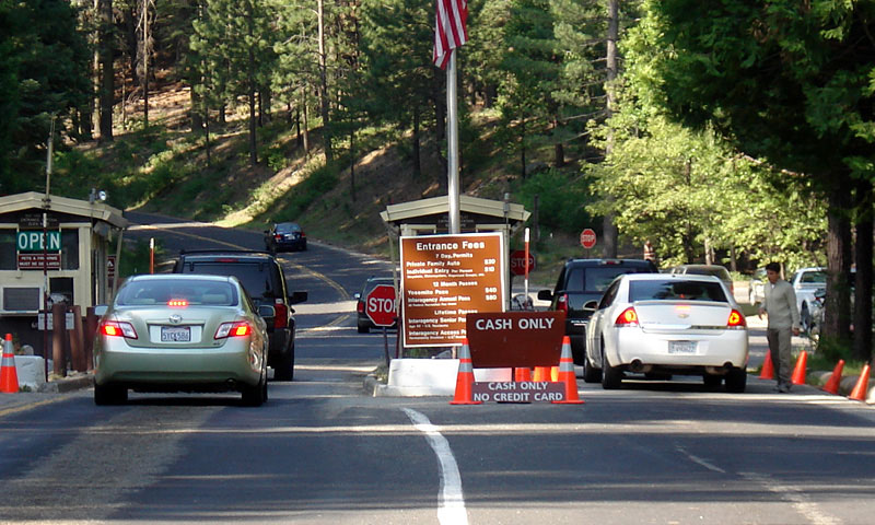
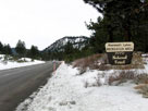
Big Oak Flat Entrance,
Yosemite National Park
and Highway 120 |
|
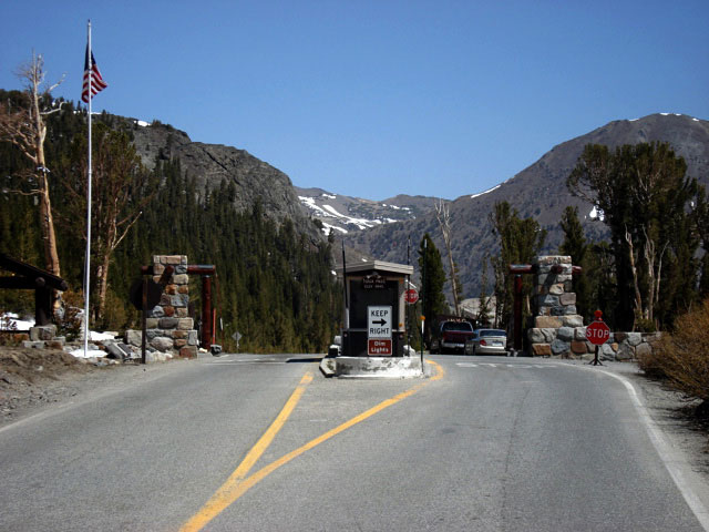
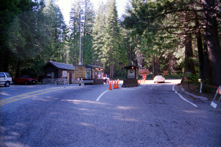
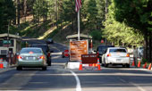
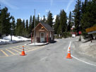
Tioga Pass Entrance
Station |
|
|
|
|
| Highway 120 (California State Route 120) Westbound |
|
 |
|
 |
|
 |
|
Mt. Dana, Highway 120
and Lee Vining Creek
from Tioga Junction |
|
Mammoth Peak, Tioga
Pass and Highway 120
from Tioga Lake |
|
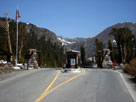
Tioga Pass Entrance,
Yosemite National Park
and Highway 120 |
|
|
|
|
| Highway 140 (California State Route 140) |
|
 |
|
 |
|
 |
|
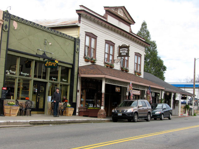
Mariposa and
Highway 140 |
|
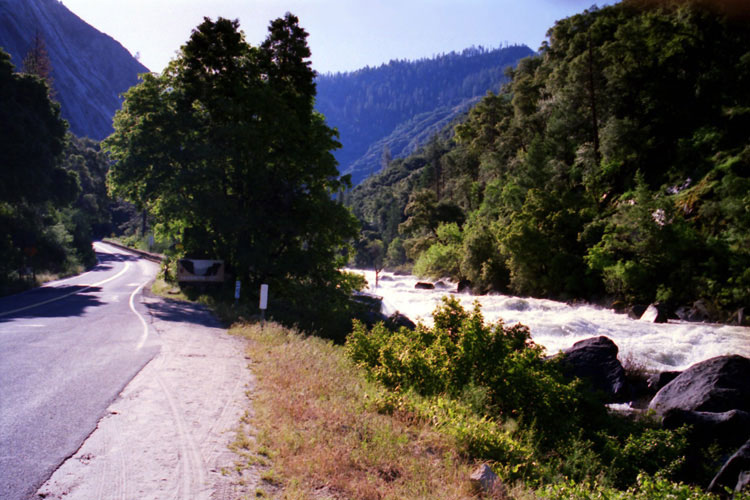
Highway 140 (east)
and Merced River |
|
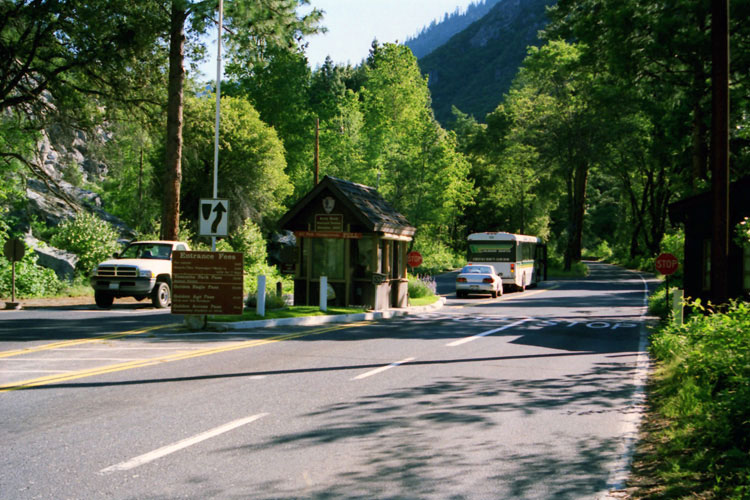
Arch Rock Entrance,
Yosemite National Park
and Highway 140 |
|
|
|
|
| Highway 41 (California State Route 41) |
|
 |
|
|
|
South Entrance,
Yosemite National Park
and Highway 41 |
|
|
|
|
|
| Highway 158 (California State Route 158) |
|
 |
|
 |
|
 |
|
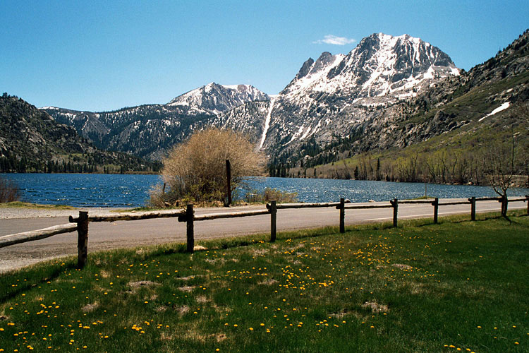
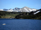
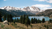
June Lake from
Highway 158 |
|
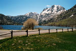
Silver Lake and
Highway 158 |
|
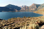
Grant Lake from
Highway 158 |
|
|
|
|
| Highway 203 (California State Route 203) |
|
 |
|
 |
|
 |
|
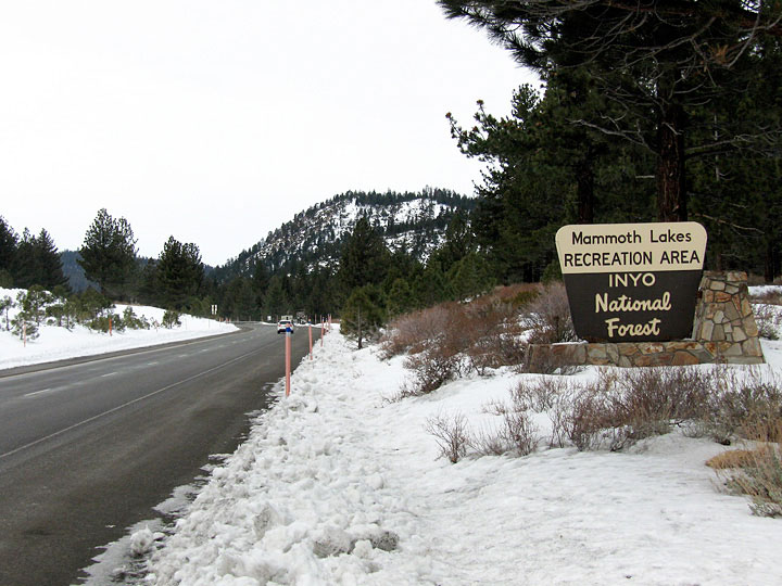
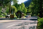
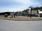
Highway 203
to Mammoth Lakes |
|
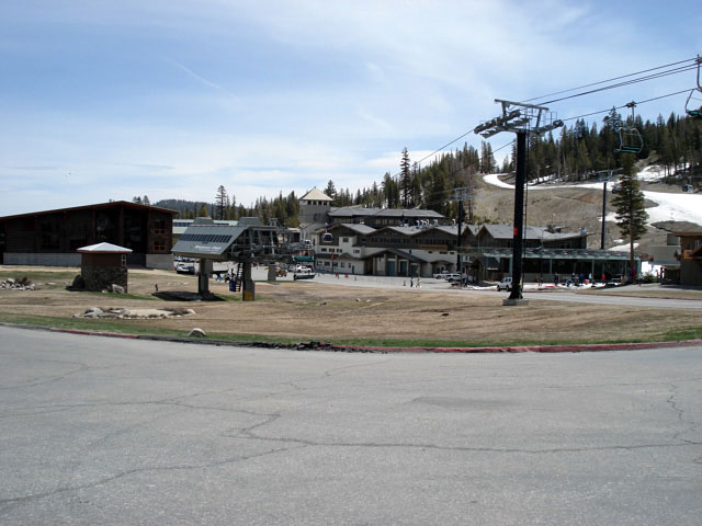
Mammoth Mountain
Ski Area |
|
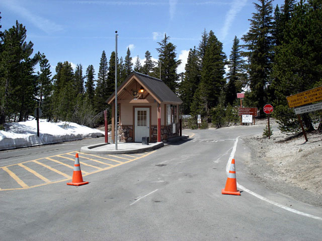
Minaret Summit and
Highway 203 |
|
|
|
|
| Highway 168 (California State Route 168) Eastbound |
|
| Forthcoming... |
|
|
|
|
| Highway 168 (California State Route 168) Westbound |
|
 |
|
|
|
Mount Humphreys and
Highway 168 (west) |
|
|
|
|
|
| Highway 180 (California State Route 180) |
|
 |
|
 |
|
 |
|
Kings Canyon
and Highway 180 |
|
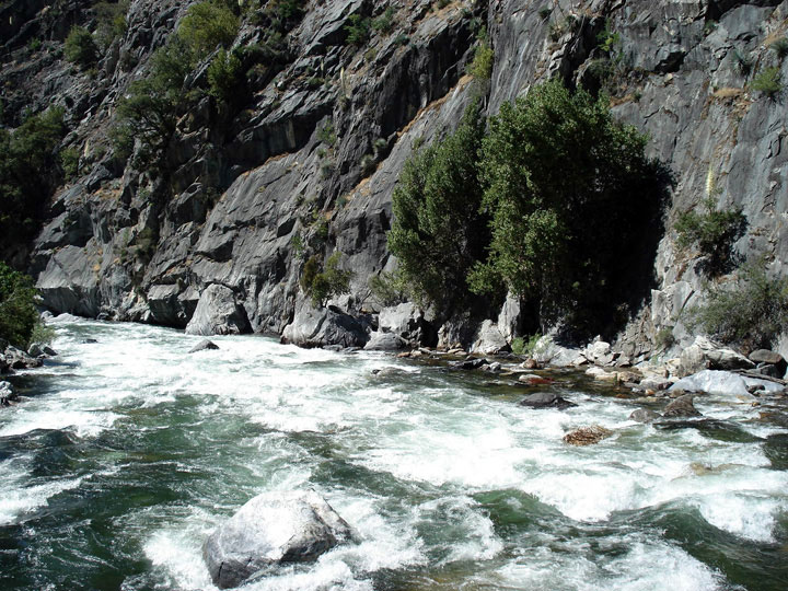
South Fork Kings River
from Highway 180 |
|
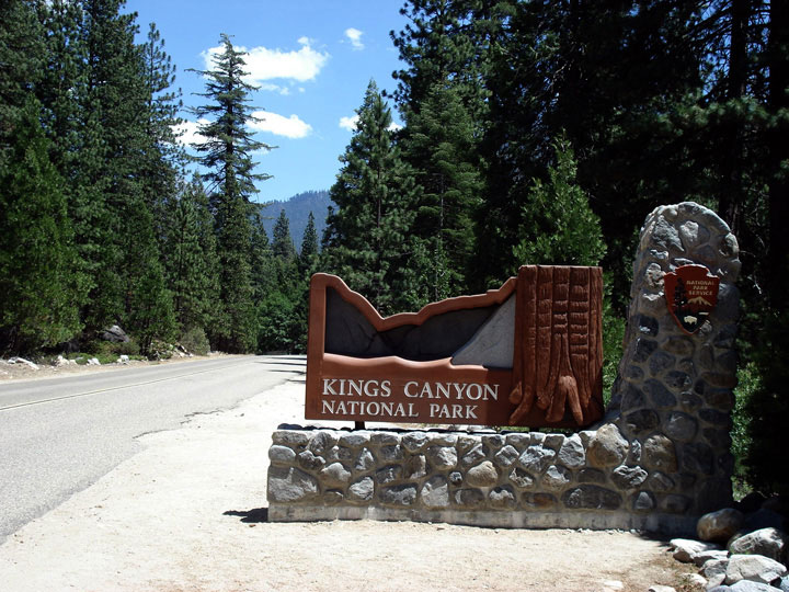
Kings Canyon National
Park entrance
and Highway 180 |
|
|
|
|
| Highway 198 (California State Route 198) |
|
 |
|
|
|
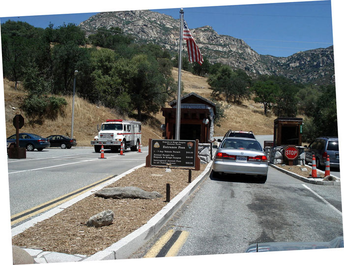
Ash Mountain Entrance,
Sequoia National Park
and Highway 198 |
|
|
|
|
|
| Highway 190 (California State Route 190) |
|
| Forthcoming... |
|
|
|
|
| Highway 178 (California State Route 178) |
|
 |
|
 |
|
 |
|
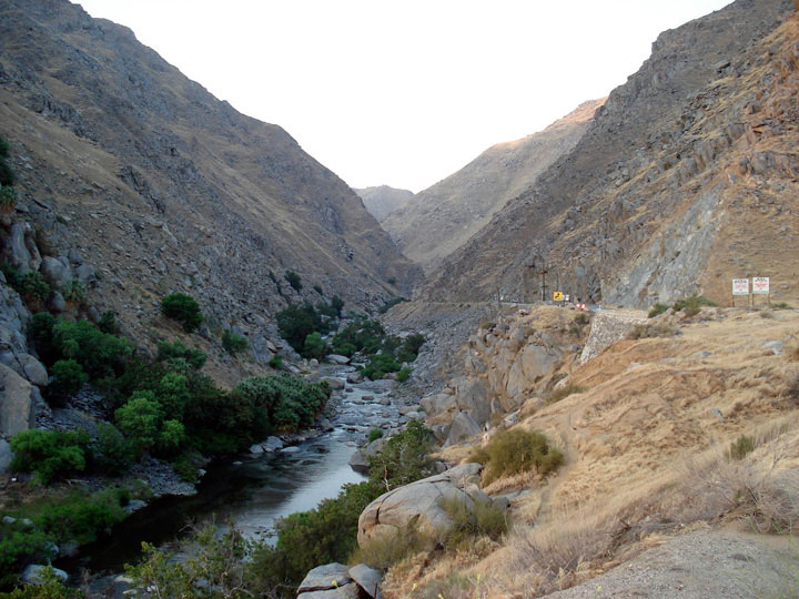
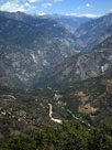
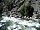
Kern River Canyon and
Highway 178 (east) |
|
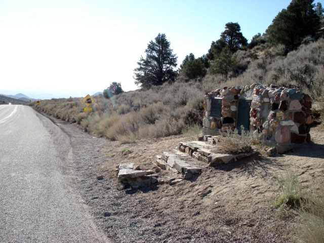
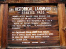
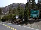
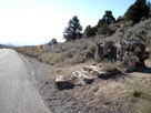
Walker Pass National
Historic Landmark |
|
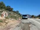
Walker Pass and
Highway 178 (west) |
|
|
|
|
| Highway 58 (California State Route 58) |
|
| Forthcoming... |
|
|
|
|
| See also |
|
|
|
|