| シエラ・ネバダの High Passes |
 |
| Original photo collection of sceneries with, from and around High Passes (Mountain Gaps accessible only by trails and cross-country routes) of Sierra Nevada Mountains (California, USA). |
|
 |
|
 |
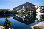
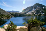
| ピーラー・レイク (Peeler Lake) |
 |
 |
 |
 |
 |
 |
 |
Crown Point and Peeler Lake
from around pass/gap on Sierra Crest |
|
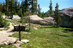
Peeler Lake Trail to Peeler
Lake (Yosemite Nat'l Park) |
|
 |
|
 |
| ロック・アイランド・パス (Rock Island Pass) |
 |
 |
 |
 |
 |
 |
 |
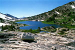
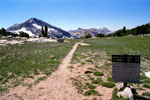
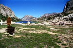
Rock Island Pass
and Snow Lake from
Rock Island Pass Trail |
|
Rock Island Pass Trail
into Yosemite National Park
from Rock Island Pass |
|
Kettle Peak and Snow Lake
from Rock Island Pass |
|
 |
|
 |
| ミュール・パス (Mule Pass) |
 |
 |
 |
 |
 |
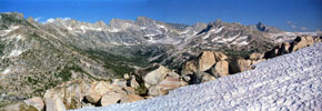
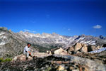
Sawtooth Ridge, Matterhorn Peak, Finger Peaks and
Mount Conness from Mule Pass (Yosemite Nat'l Park) |
|
|
 |
|
 |
| ビュロ・パス (Burro Pass) |
 |
 |
 |
 |
 |
 |
 |
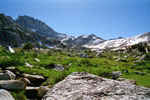
Matterhorn Peak and
Burro Pass from
Burro Pass Trail |
|
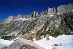
Sawtooth Ridge
from Burro Pass |
|
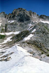
Matterhorn Peak
and Burro Pass |
|
 |
|
 |
| Matterhorn Pass |
 |
 |
 |
 |
 |
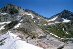
Matterhorn Peak, Matterhorn
Pass, Whorl Mountain
and Burro Pass |
|
|
 |
|
 |
| Horse Creek Pass |
 |
 |
 |
 |
 |
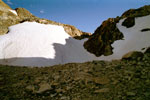
Horse Creek Pass
(Hoover Wilderness) |
|
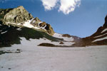
Twin Peaks and
Horse Creek Pass |
|
 |
|
 |
| Stanton Pass |
 |
 |
 |
 |
 |
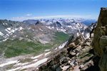
Virginia Peak, Stanton Pass
and Stanton Peak from below
Matterhorn Peak summit |
|
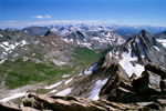
Virginia Peak, Stanton
Pass, Stanton Peak and
Whorl Mountain from
Matterhorn Peak summit |
|
 |
|
 |
|
|
 |
|
 |
|
|
 |
|
 |
| McCabe Pass |
 |
 |
 |
 |
 |
 |
 |
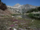
McCabe Pass and
Shepherd Crest from
20 Lakes Basin Trail
(Hoover Wilderness) |
|
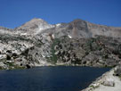
Shepherd Crest
and Steelhead Lake |
|
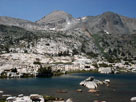
McCabe Pass, Shepherd
Crest and Cascade Lake |
|
 |
|
 |
| North Peak Pass |
 |
 |
 |
 |
 |
 |
 |
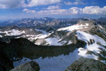
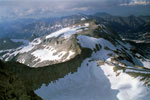
North ridge of Mount Conness, North Peak Pass
and North Peak summit |
|
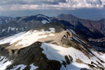
North Peak summit and
North Peak Pass from
Mount Conness summit |
|
 |
|
 |
| Conness Pass |
 |
 |
 |
 |
 |
 |
 |
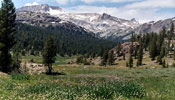
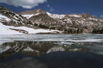
East ridge of Mount Conness
and Connness Pass from
Saddlebag Lake Road |
|
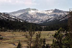
Southeast peak of Mount
Conness and Connness Pass
from Sawmill Campground |
|
East ridge of Mt. Conness,
Connness Pass and
Green Treble Lake |
|
 |
|
 |
| Pass 11,400+ |
 |
 |
 |
 |
 |
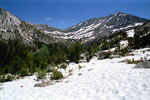
Pass 11,400+ and
White Mountain from
above Upper Young Lake |
|
Pass 11,400+
and Lake 10,560+ |
|
 |
|
 |
| モノ・パス (Mono Pass) |
 |
 |
 |
 |
 |
 |
Mono Pass Trailhead
and Tioga Road
(Yosemite Nat'l Park) |
|
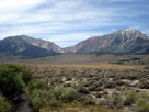
Mono Pass and Mt. Gibbs
from Highway 395 |
|
 |
|
 |
|
|
 |
|
 |
| ダック・パス (Duck Pass) |
 |
 |
 |
 |
 |
 |
 |
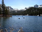
Viewing toward Duck
Pass from Lake Mary |
|
Viewing toward Duck
Pass from Crystal Lake Trail |
|
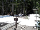
Duck Pass Trailhead above
Coldwater Campground |
|
 |
|
 |
| モノ・パス (Mono Pass) |
 |
 |
 |
 |
 |
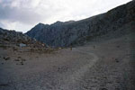
Mono Pass from
Mono Pass Trail |
|
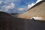
Summit Lake
from Mono Pass |
|
 |
|
 |
| モーガン・パス (Morgan Pass) |
 |
 |
 |
 |
 |
 |
 |
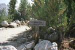
Morgan Pass Trail
(Little Lakes Valley) |
|
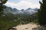
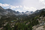
Mount Morgan, Morgan Pass, Bear Creek Spire
and Little Lakes Valley from Mono Pass Trail |
|
 |
|
 |
|
|
 |
|
 |
| ビショップ・パス (Bishop Pass) |
 |
 |
 |
 |
 |
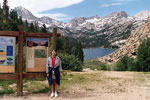
South Lake
(Bishop Pass Trailhead) |
|
Hurd Peak, Mt. Johnson,
Mt. Gilbert, Mt. Thompson
and South Lake
from Bishop Pass Trail |
|
 |
|
 |
| キアサージ・パス (Kearsarge Pass) |
 |
 |
 |
 |
 |
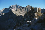
Nameless Pyramid
from Kearsarge Pass |
|
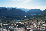
Kearsarge Pinnacles
and Kearsarge Lakes
(Kings Canyon Nat'l Park)
from Kearsarge Pass |
|
 |
|
 |
|
|
 |
|
 |
|
|
 |
|
 |
|
|
 |
|
 |
| See also |
 |
|
|
|