| Tuttle Creek Campground |
 |
| (タットル・クリーク・キャンプグラウンド) |
 |
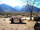
| Original photo collection of sceneries in and around Tuttle Creek Campground (Tuttle Creek Recreation Site), one of BLM (Bureau of Land Management) campgrounds/recreation sites, located near Lone Pine in Eastern Sierra (Inyo County, California, USA). |
|
 |
|
|
 |
|
|
 |
|
 |
| Lone Pine - Highway 395 (U.S. Route 395) |
 |
 |
 |
 |
 |
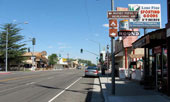
US 395 (north) and Whitney Portal
Road junction, Lone Pine |
|
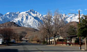
Lone Pine Peak and Mt. Whitney
from Whitney Portal Road |
|
 |
|
 |
| Whitney Portal Road |
 |
 |
 |
 |
 |
 |
 |
 |
 |
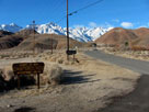
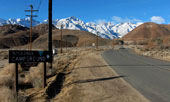
Whitney Portal Road
from Tuttle Creek Road |
|
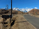
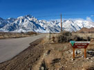
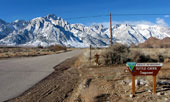
Lone Pine Peak, Mount Whitney and Whitney Portal Road |
|
 |
 |
 |
 |
 |
Lone Pine Peak, Mount Whitney and Whitney Portal Road
at Horseshoe Meadows Road junction |
|
 |
|
 |
| Horseshoe Meadows Road |
 |
 |
 |
 |
 |
 |
 |
 |
 |
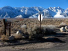
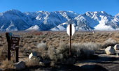
Tuttle Creek Campground entrance from
Horseshoe Meadows Road |
|
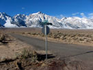
Granite View Drive from
Horseshoe Meadows Road |
|
 |
|
 |
|
|
 |
 |
 |
 |
 |
 |
 |
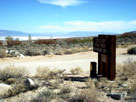
Owens Valley from
Tuttle Creek Campground |
|
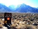
Lone Pine Peak from
Tuttle Creek Campground |
|
 |
|
 |
|
|
 |
|
 |
|
|
 |
|
 |
| Tuttle Creek Campground の写真 ON WEB |
 |
| 写真 |
|
|
| Photo Galleries |
 |
 |
|
| Photos |
 |
 |
 |
 |
 |
 |
 |
 |
 |
 |
 |
 |
|
|