| Horseshoe Meadows Road |
 |
| (ホースシュー・メドウズ・ロード) |
|
|
|
|
|
|
|
|
|
|
|
|
| Lone Pine - Highway 395 (U.S. Route 395) |
|
 |
|
 |
|
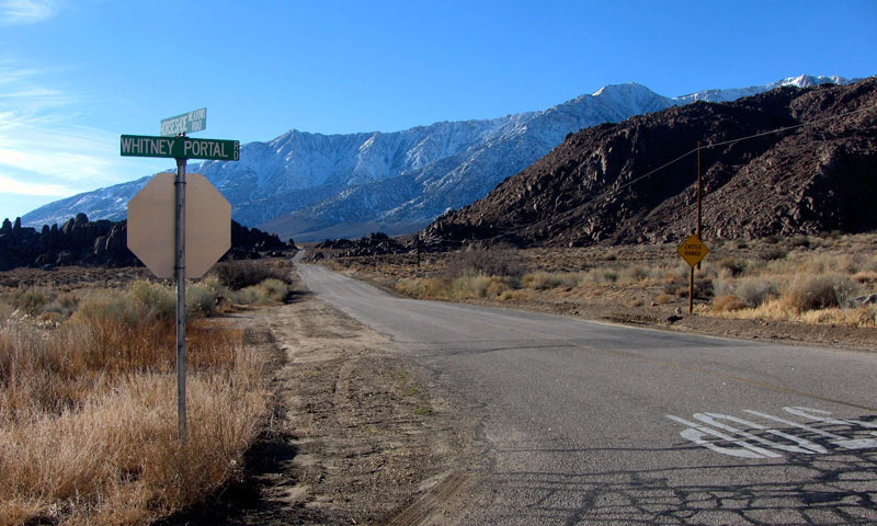
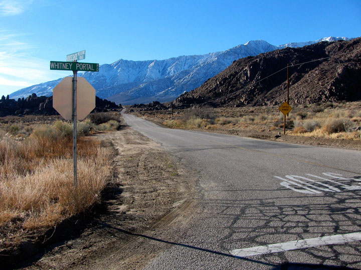
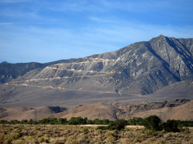
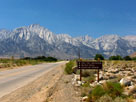
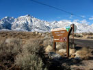
Mount Langley, Lone Pine
Peak and Whitney Portal Road
from U.S. 395, Lone Pine |
|
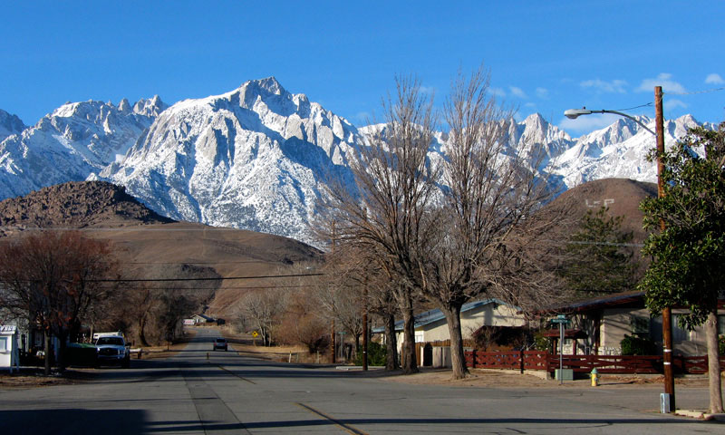
Lone Pine Peak and Mt. Whitney
from Whitney Portal Road |
|
|
|
|
| Whitney Portal Road |
|
 |
|
|
 |
|
 |
|
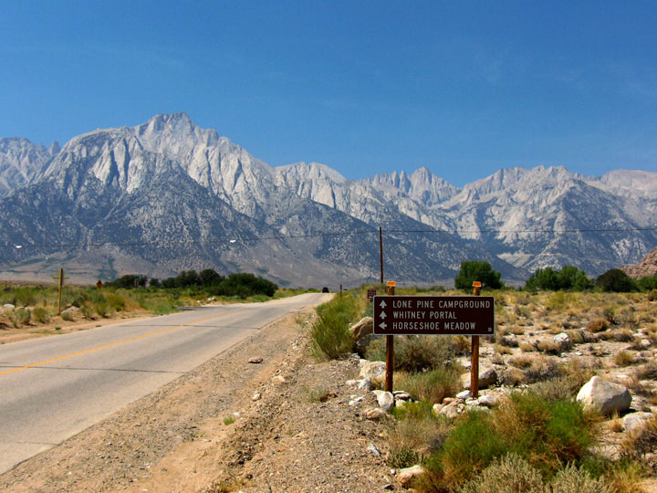
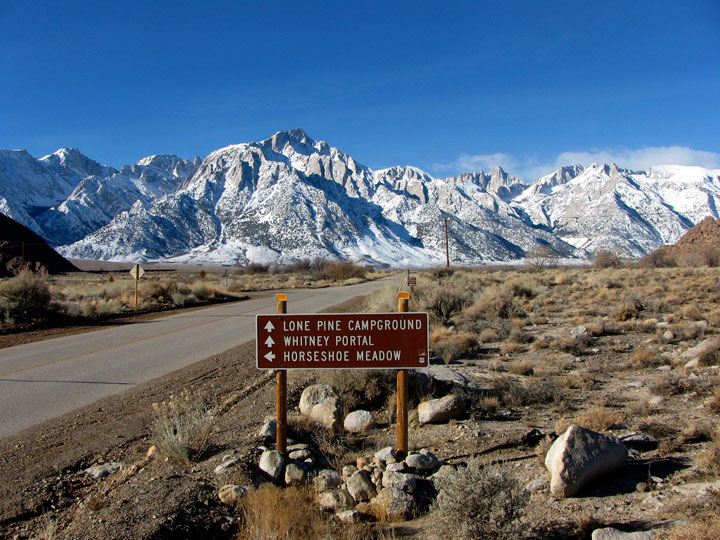
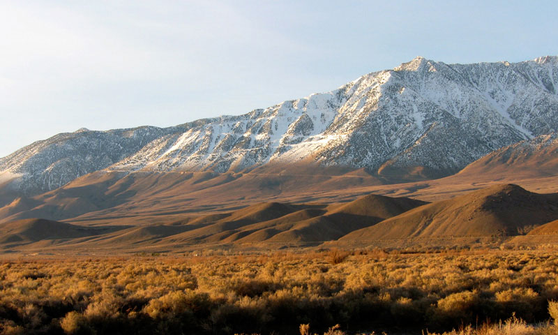
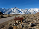
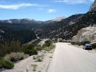
Lone Pine Peak, Mount Whitney and Whitney Portal
Road near Horseshoe Meadows Road junction |
|
|
 |
|
|
|
Lone Pine Peak, Mount Whitney
and Whitney Portal Road near
Horseshoe Meadows Road junction |
|
|
|
|
|
|
|
|
 |
|
 |
|
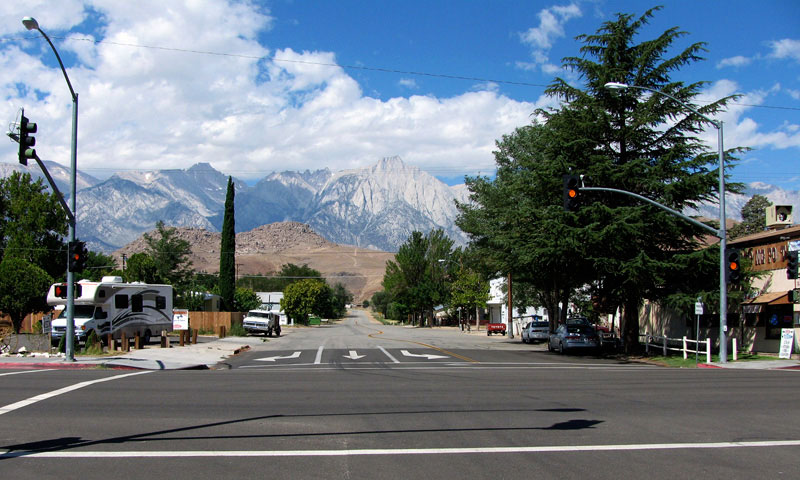
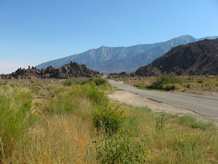
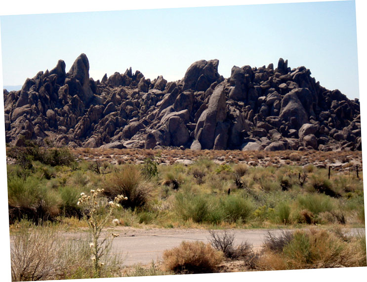
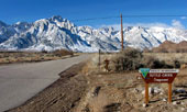
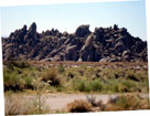
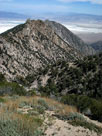
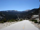
Alabama Hills and
Horseshoe Meadows Road
from Whitney Portal Road |
|
Horseshoe Meadows Road
from Whitney Portal Road |
|
|
|
|
|
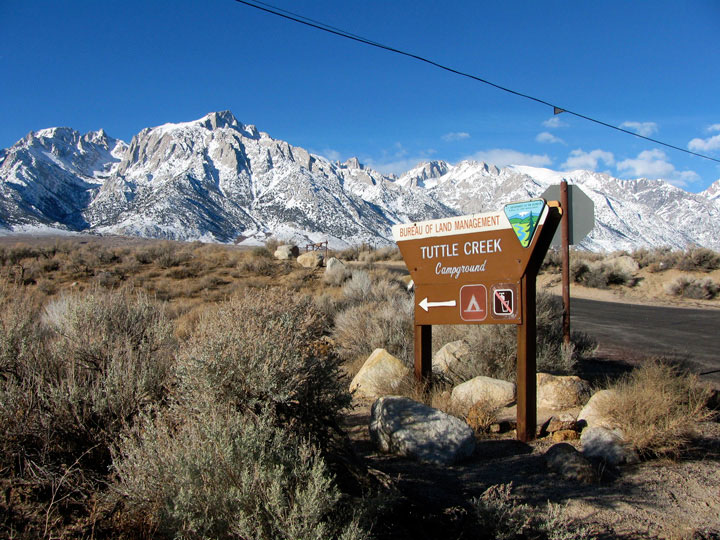
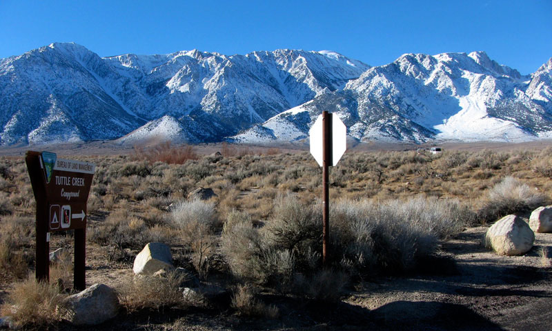
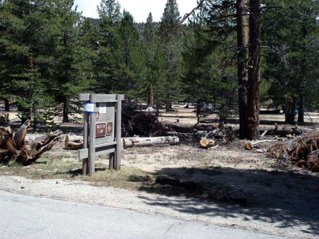
| Tuttle Creek Campground |
|
 |
|
|
 |
|
 |
|
 |
|
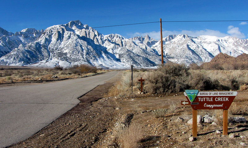
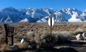
Tuttle Creek Campground entrance
off Horseshoe Meadows Road |
|
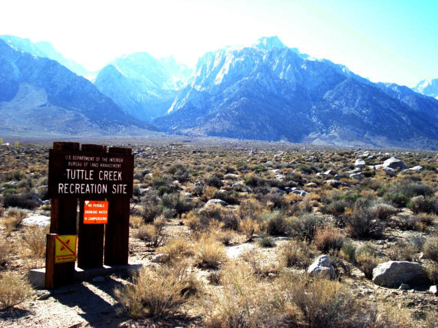
Lone Pine Peak from Tuttle
Creek Campground (Tuttle
Creek Recreation Site) |
|
|
|
|
|
|
|
|
|
|
|
|
|
|
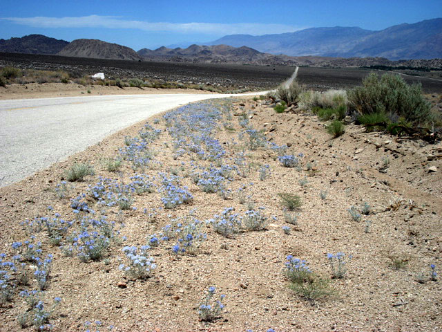
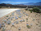
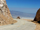
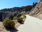
| Horseshoe Meadows Road above Alabama Hills |
|
 |
|
|
|
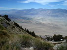
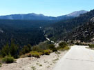
Inyo Mountains,
Alabama Hills and
Horseshoe Meadows Road |
|
|
|
|
|
|
|
|
|
|
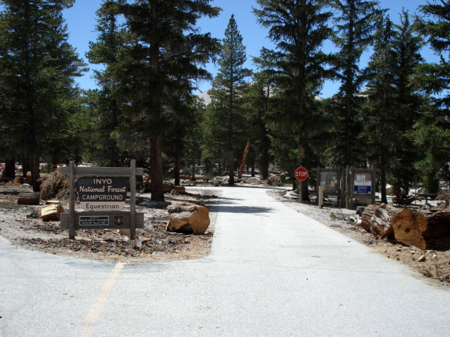
| Horseshoe Meadows Road above Owens Valley |
|
 |
|
 |
|
|
|
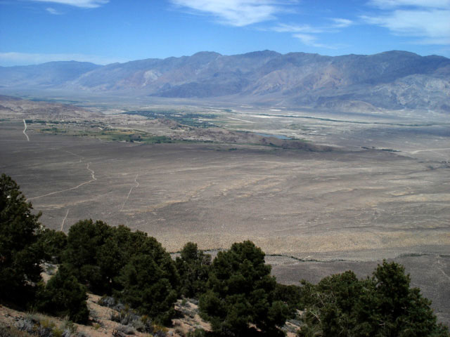
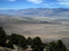
Inyo Mountains, Owens Valley and Lone Pine
from Horseshoe Meadows Road |
|
|
|
|
|
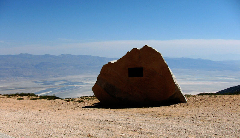
| Walt's Point |
|
 |
|
 |
|
 |
|
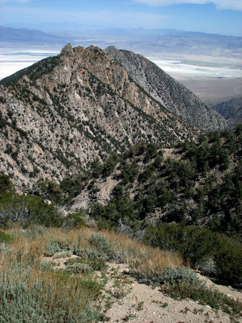
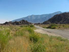
| Owens Valley and Walt's Point |
|
Walt's Point and
Horseshoe Meadows Road |
|
|
|
|
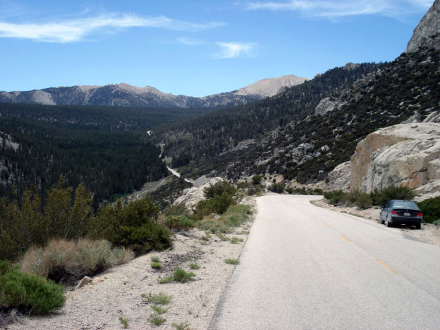
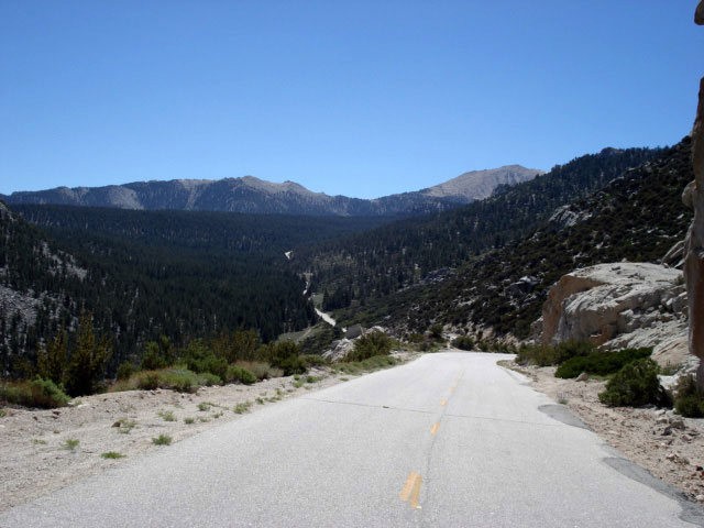
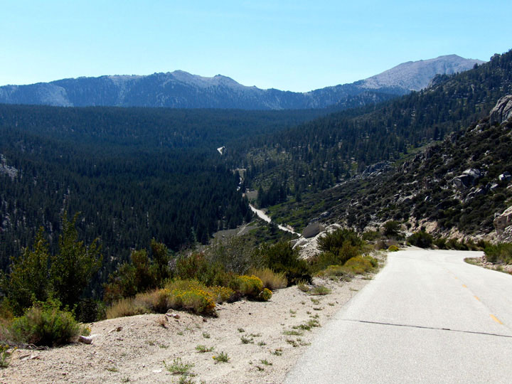
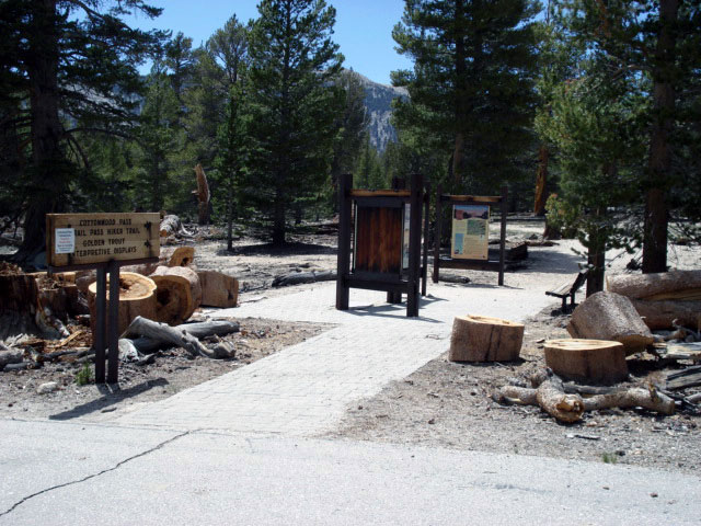
| Horseshoe Meadows Road to Horseshoe Meadow |
|
 |
|
 |
|
|
|
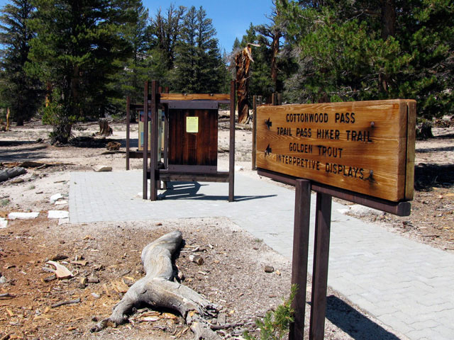
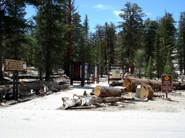
| Horseshoe Meadow and Horseshoe Meadows Road |
|
|
|
 |
|
 |
|
| Horseshoe Meadow and Horseshoe Meadows Road |
|
|
|
|
|
|
|
|
|
|
|
|
|
|
|
|
|
|
|
|
|
|
|
|
|
|
|
|
|
|
|
|
|
|
|
|
|
| Horseshoe Meadows Road の写真 ON WEB |
|
| 写真 |
|
|
| Photo Galleries |
 |
 |
|
| Photos |
|
 |
 |
 |
 |
 |
 |
|
 |
 |
 |
 |
|
|
|
|
|
|
|
|
|
|
|
|
|
|
|
|